MyTopo
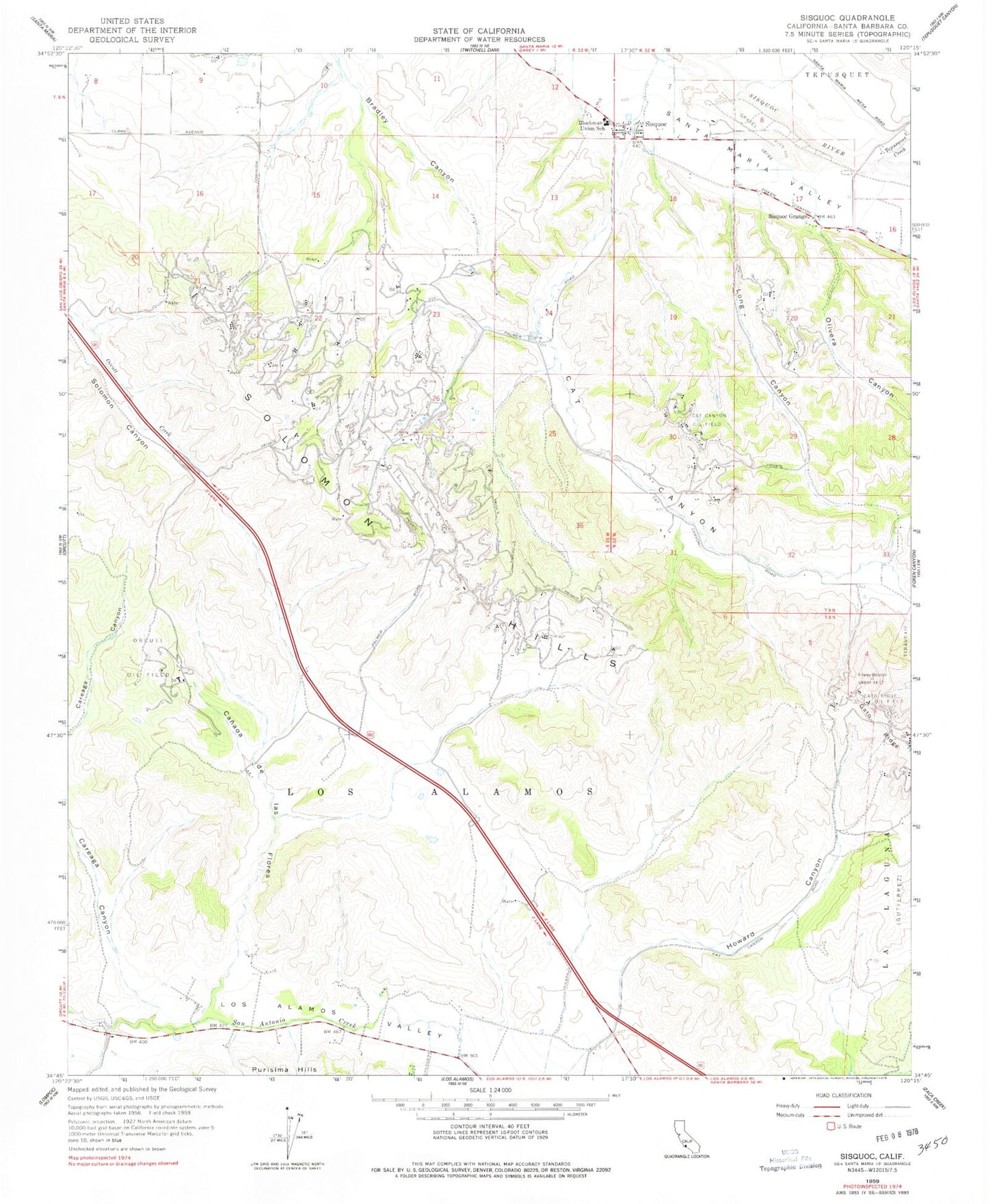
Classic USGS Sisquoc California 7.5'x7.5' Topo Map
Couldn't load pickup availability
Historical USGS topographic quad map of Sisquoc in the state of California. Map scale may vary for some years, but is generally around 1:24,000. Print size is approximately 24" x 27"
This quadrangle is in the following counties: Santa Barbara.
The map contains contour lines, roads, rivers, towns, and lakes. Printed on high-quality waterproof paper with UV fade-resistant inks, and shipped rolled.
Contains the following named places: Benjamin Foxen Elementary School, Blockman School, Canada de las Flores, Cat Canyon, Cat Canyon Oil Field, Gato Ridge, Howard Canyon, Long Canyon, Los Alamos, Olive School, Olivera Canyon, Palmer, Roadamite, Santa Barbara County Fire Department Station 23, Sisquoc, Sisquoc Census Designated Place, Sisquoc Grange, Sisquoc Quarry, Tepusquet Canyon, Tepusquet Creek