MyTopo
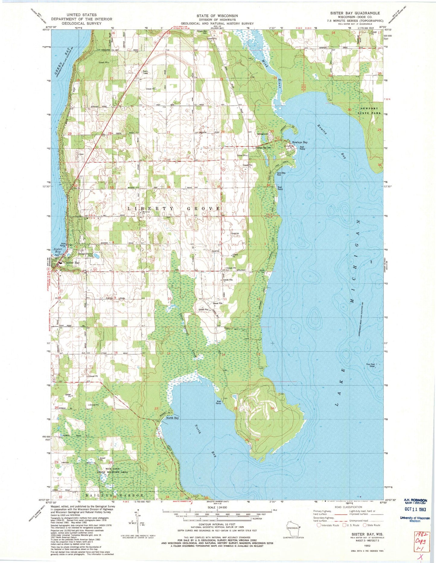
Classic USGS Sister Bay Wisconsin 7.5'x7.5' Topo Map
Couldn't load pickup availability
Historical USGS topographic quad map of Sister Bay in the state of Wisconsin. Typical map scale is 1:24,000, but may vary for certain years, if available. Print size: 24" x 27"
This quadrangle is in the following counties: Door.
The map contains contour lines, roads, rivers, towns, and lakes. Printed on high-quality waterproof paper with UV fade-resistant inks, and shipped rolled.
Contains the following named places: Appleport School, Four Foot Shoal, Liberty Grove Cemetery, Mink River, North Bay, North Bay, Rowley Bay, Rowleys Bay, Sand Bay Park, Sister Bay, Sister Bay, Wildwood School, Moravain Church, Three Springs Creek, Ellison Bay Cemetery, Rowleys Bay Cemetery, Sand Bay, Hill Road Airport (historical), Marshall's Point State Natural Area, Mink River Estuary State Natural Area, North Bay State Natural Area, Mave's Lakeview Road Airport, Sister Bay - Liberty Grove Fire Department South Station, Seaquist Orchards, Hill's Orchard, Wildwood Farm, Fierce Farms, North Bay Road Farms, A A Ranch of Wisconsin, Sister Bay Post Office, Door County Library Sister Bay - Liberty Grove Branch, Zoo Lake, Sister Bay Moravian Cemetery


