MyTopo
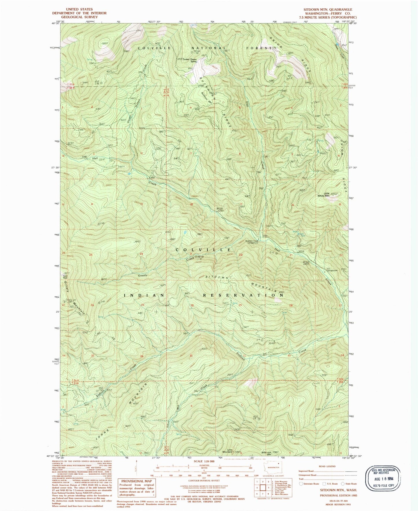
Classic USGS Sitdown Mountain Washington 7.5'x7.5' Topo Map
Couldn't load pickup availability
Historical USGS topographic quad map of Sitdown Mountain in the state of Washington. Map scale may vary for some years, but is generally around 1:24,000. Print size is approximately 24" x 27"
This quadrangle is in the following counties: Ferry.
The map contains contour lines, roads, rivers, towns, and lakes. Printed on high-quality waterproof paper with UV fade-resistant inks, and shipped rolled.
Contains the following named places: Bitterfoot Mountain, Buckskin Creek Campground, Grizzly Creek, Grizzly Mountain, Johns Mountain, Johns Mountain Creek, Little White Mountain, Lynx Creek Lookout, Lynx Mountain, Onion Ridge, Sitdown Creek, Sitdown Mountain, Sleepy Hollow Creek, Stall Creek, Tanker Chance Spring, White Mountain Trail