MyTopo
Classic USGS Sitka A-4 SW Alaska 7.5'x7.5' Topo Map
Couldn't load pickup availability
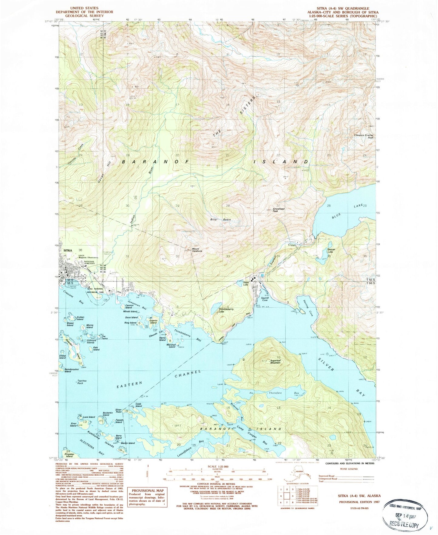
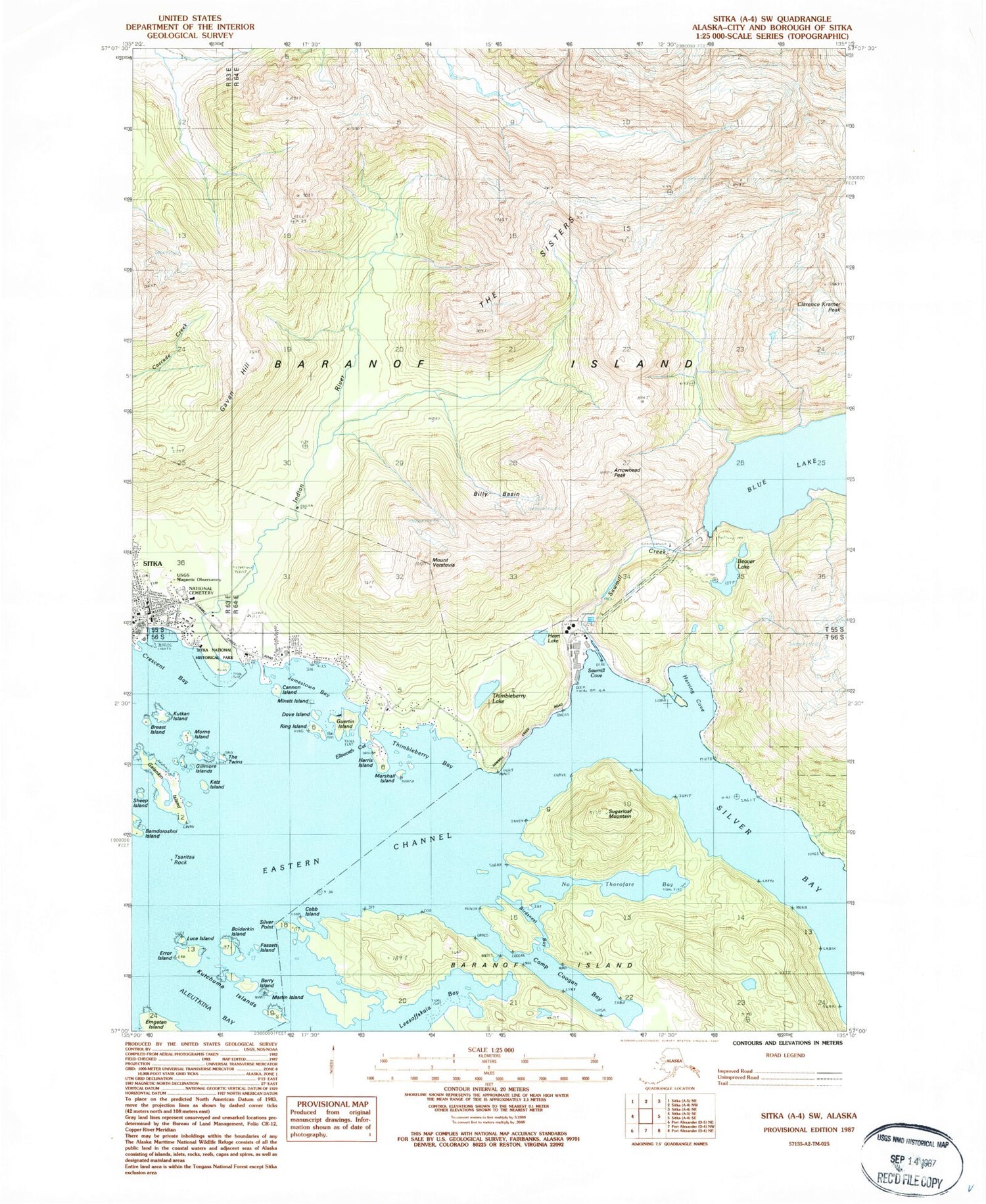
Historical USGS topographic quad map of Sitka A-4 SW in the state of Alaska. Typical map scale is 1:24,000, but may vary for certain years, if available. Print size: 24" x 27"
This quadrangle is in the following counties: Sitka.
The map contains contour lines, roads, rivers, towns, and lakes. Printed on high-quality waterproof paper with UV fade-resistant inks, and shipped rolled.
Contains the following named places: Guertin Island, Sawmill Creek, Sheep Island, Silver Point, Sitka, Sugarloaf Mountain, The Sisters, The Twins, Thimbleberry Bay, Thimbleberry Lake, Tsaritsa Rock, Mount Verstovia, Clarence Kramer Peak, Sitka National Historical Park, USGS Magnectic Observatory, Sawmill Cove, Blue Lake Dam, Indian River Dam, Mountain Point Community Reservoir, Sheldon Jackson College Dam, Eastern Anchorage, Entry Point, Aleutkina Bay, Arrowhead Peak, Bamdoroshni Island, Beaver Lake, Berry Island, Billy Basin, Birdsnest Bay, Boidarkin Island, Breast Island, Camp Coogan Bay, Cannon Island, Cobb Island, Crescent Bay, Dove Island, Eastern Channel, Ellsworth Cut, Emgeten Island, Error Island, Fassett Island, Galankin Island, Gavan Hill, Gillmore Islands, Harris Island, Heart Lake, Herring Cove, Indian River, Jamestown Bay, Katz Island, Kutchuma Islands, Kutkan Island, Leesoffskaia Bay, Luce Island, Marshall Island, Martin Island, Minett Island, Morne Island, No Thorofare Bay, Ring Island, Rocky Patch, Cross Mountain, Ball Islets, Ball Islets, Harbor Peak, Indian River Valley, Starrigavan Fish Viewing Trail, Gavan Hill Trail, Indian River Trail, Sawmill Creek Recreational Area, Mount Verstovia Trail, Sitka National Cemetery, Sheldon Jackson College (historical), Russian Bishop's House, Sitka Alaska Native Village Statistical Area, Dove Island Lodge Seaplane Base, Sitka Post Office, Alaska State Troopers Sitka


