MyTopo
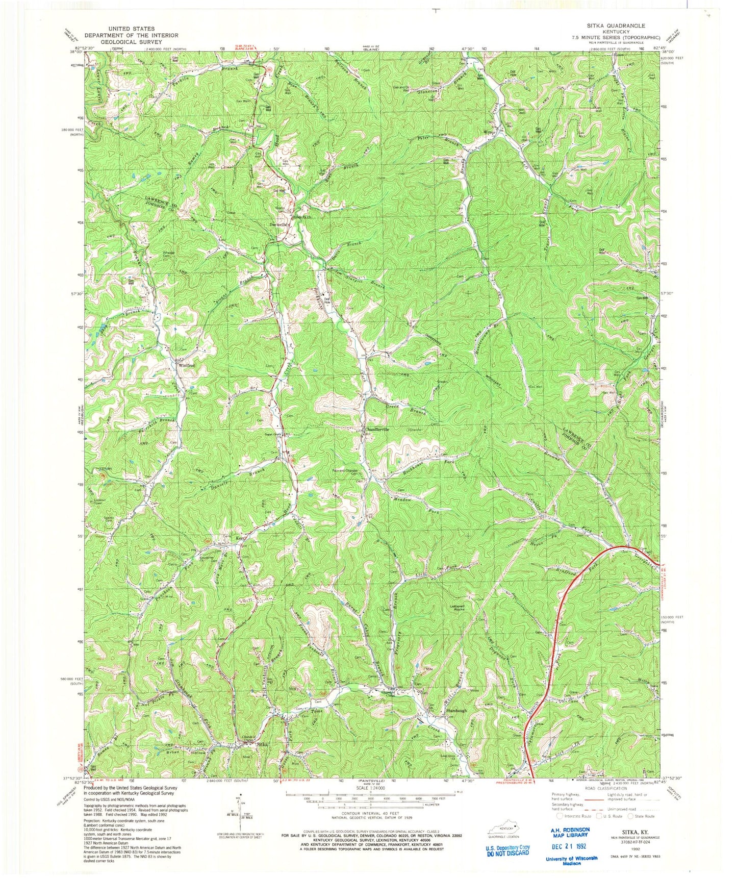
Classic USGS Sitka Kentucky 7.5'x7.5' Topo Map
Couldn't load pickup availability
Historical USGS topographic quad map of Sitka in the state of Kentucky. Map scale may vary for some years, but is generally around 1:24,000. Print size is approximately 24" x 27"
This quadrangle is in the following counties: Johnson, Lawrence.
The map contains contour lines, roads, rivers, towns, and lakes. Printed on high-quality waterproof paper with UV fade-resistant inks, and shipped rolled.
Contains the following named places: Barn Hollow, Bear Branch, Belles Chapel, Brafford Fork, Broad Hollow, Browns Fork, Burnt Cabin Branch, Castle Fork, Caudill Branch, Cave Fork, Chandlerville, Church of Christ, Daniels Branch, Davis Branch, Davisville, Davisville Post Office, Dogwood Fork, Enterprise Church, Fairchild Branch, Fitch Branch, Frank Vanhoose Branch, Franks Creek Church, Frogonery Branch, Goose Fork, Gray Mare Branch, Green Branch, Hawes Fork, Hoods Fork United Baptist Church, Hunterscamp Branch, Jim Stambaugh Fork, Jim Sturgill Branch, Kerz, Left Fork Brushy Creek, Lettered Rocks, Lick Branch, Lick Fork, Locust Grove United Baptist Church, Marvin Sparks Cemetery, Meadow Fork, Mount Olive School, Mount Olive United Baptist Church, Nat Pickle Fork, Nippa Division, Pack and Chandler Cemetery, Peter Branch, Puncheon Fork, Ramey Branch, Rockhouse Fork, Rocky Point School, Ross Branch, Shop Branch, Sip, Sitka, Sloane Branch, Sparks Branch, Sparks Cemetery, Stambaugh Cemetery, Stonecoal Branch, Sugar Grove United Baptist Church, Tarkiln, Tarkiln Branch, Tarkiln Post Office, Tarkiln School, Tarklin Church, Tick Vanhoose Branch, Travis Branch, Well Branch, Wheeler Cemetery, Wilbur, Wilbur Post Office, Wilbur School, Winifred, ZIP Codes: 41255, 41257


