MyTopo
Classic USGS Sixmile Creek New York 7.5'x7.5' Topo Map
Couldn't load pickup availability
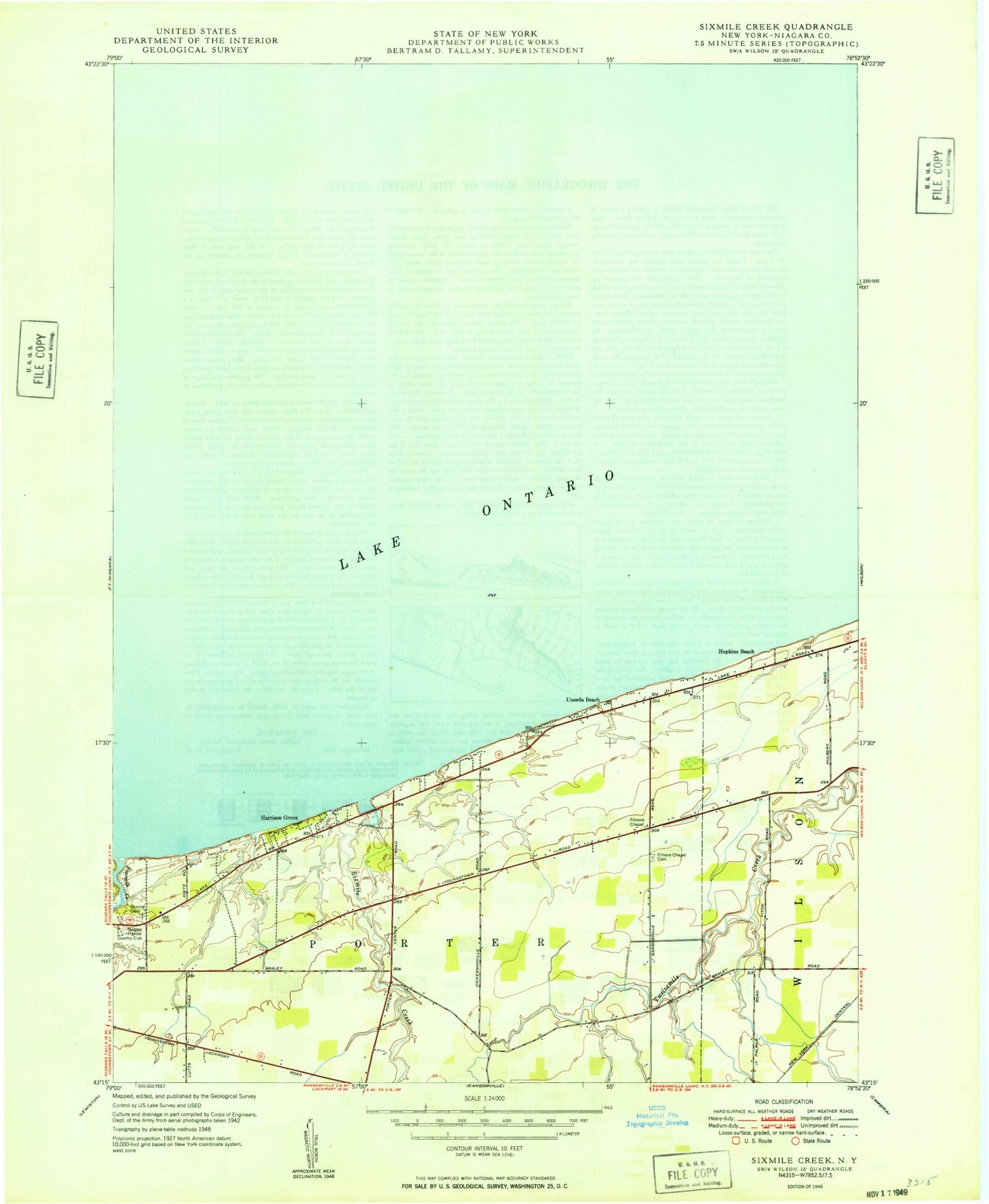
Historical USGS topographic quad map of Sixmile Creek in the state of New York. Map scale may vary for some years, but is generally around 1:24,000. Print size is approximately 24" x 27"
This quadrangle is in the following counties: Niagara.
The map contains contour lines, roads, rivers, towns, and lakes. Printed on high-quality waterproof paper with UV fade-resistant inks, and shipped rolled.
Contains the following named places: Filmore Chapel, Fourmile Creek, Fourmile Creek State Park, Halsted Cemetery, Harrison Grove, Hopkins Beach, Niagara Frontier Country Club, Oakland Cemetery, School Number 11, School Number 5, School Number 8, School Number 9, Scott Memorial YMCA Camp, Shear Airport, Sixmile Creek, Town of Porter, Tryonville, Uneeda Beach