MyTopo
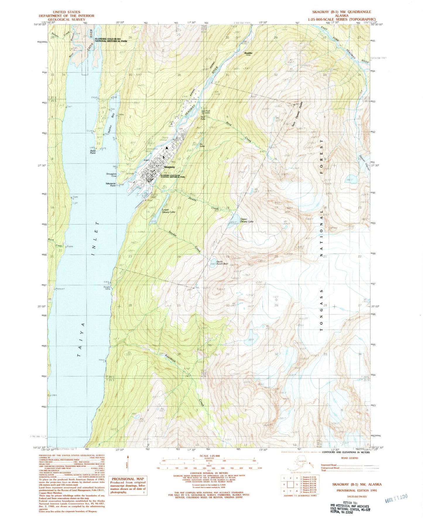
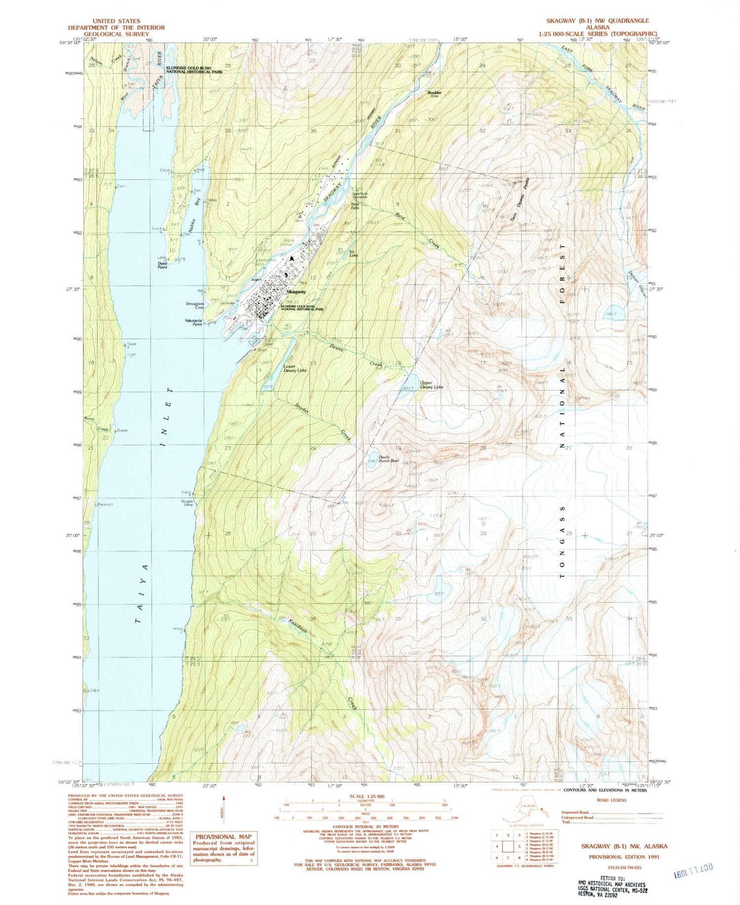
Classic USGS Skagway B-1 NW Alaska 7.5'x7.5' Topo Map
Couldn't load pickup availability
Historical USGS topographic quad map of Skagway B-1 NW in the state of Alaska. Typical map scale is 1:24,000, but may vary for certain years, if available. Print size: 24" x 27"
This quadrangle is in the following counties: Skagway.
The map contains contour lines, roads, rivers, towns, and lakes. Printed on high-quality waterproof paper with UV fade-resistant inks, and shipped rolled.
Contains the following named places: Yakutania Point, Skagway, Skagway River, Snyder Creek, Taiya River, Twin Dewey Peaks, Upper Dewey Lake, Lower Dewey Lake Number 1 Dam, Lower Dewey Reservoir, Upper Dewey Lake Dam, Upper Dewey Reservoir, Lower Dewey Lake Forebay Dam, Lower Dewey Lake Forebay, Skagway Seaplane Base (historical), Dyea Wharf Ruins, Skagway Airport, Liarsville Campground, Burro Creek, Devils Punch Bowl, Dewey Creek, Dyea Point, Icy Lake, Kasidaya Creek, Lower Dewey Lake, Nahku Bay, Nelson Creek, Reid Creek, Reid Falls, Smugglers Cove, Sturgills Camp and Picnic Area, Skagway Census Designated Place, Skagway Volunteer Fire Department, Dahl Memorial Medical Clinic, Skagway Post Office, Skagway Police Department, Gold Rush Cemetery


