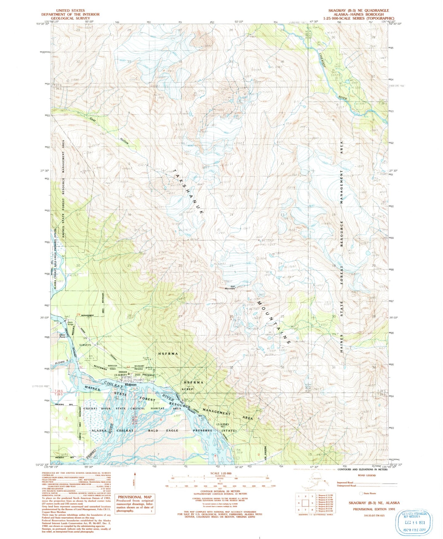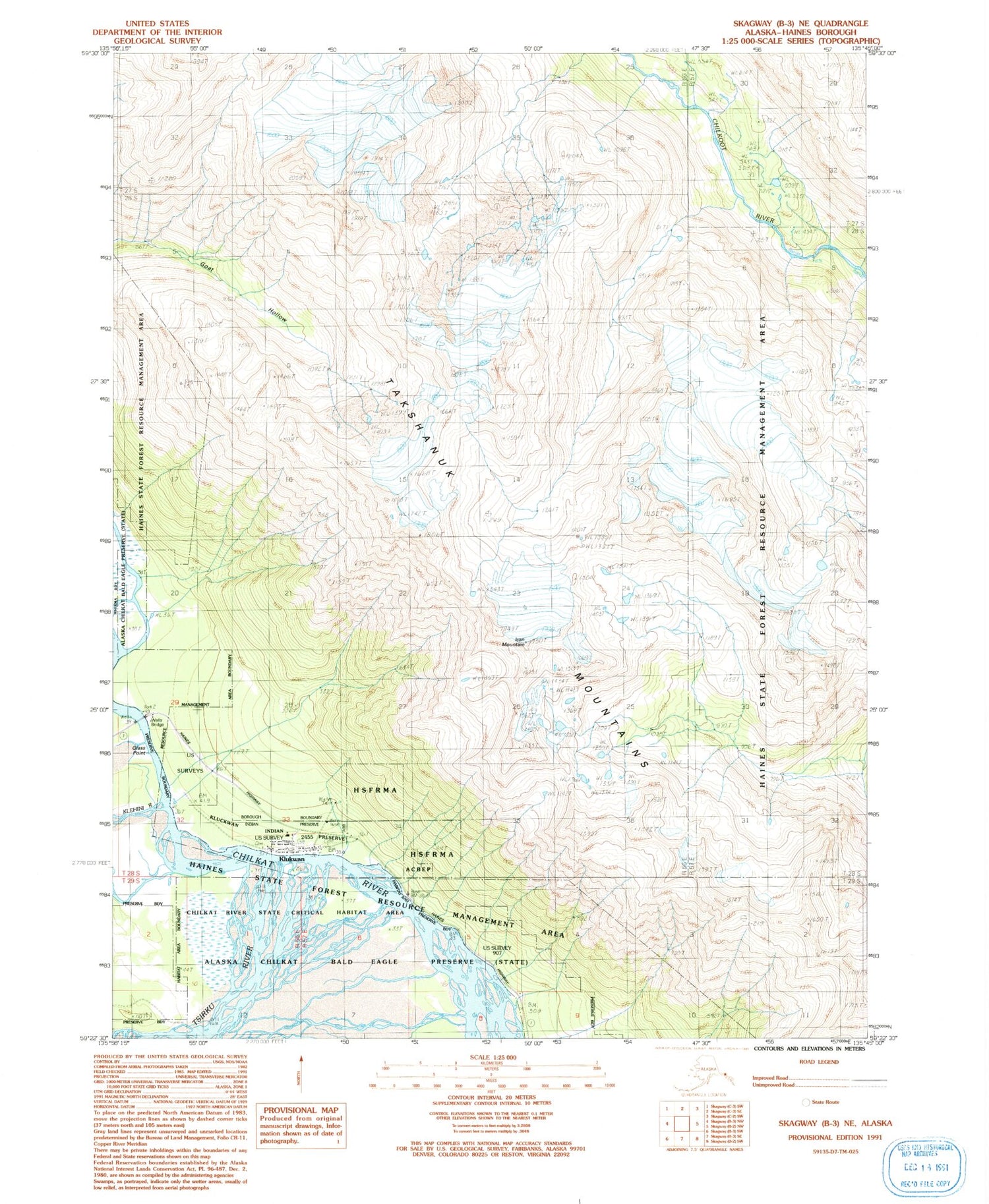
MyTopo
Classic USGS Skagway B-3 NE Alaska 7.5'x7.5' Topo Map
Couldn't load pickup availability
Historical USGS topographic quad map of Skagway B-3 NE in the state of Alaska. Map scale may vary for some years, but is generally around 1:24,000. Print size is approximately 24" x 27"
This quadrangle is in the following counties: Haines, Hoonah-Angoon (CA).
The map contains contour lines, roads, rivers, towns, and lakes. Printed on high-quality waterproof paper with UV fade-resistant inks, and shipped rolled.
Contains the following named places: Chilkat, Chilkat Alaska Native Village Statistical Area, Glass Point, Iron Mountain, Klehini River, Klukwan, Klukwan Census Designated Place, Klukwan Census Subarea, Klukwan Dam, Klukwan Indian Reservation, Klukwan Post Office, Kohklux, Southeast Alaska Regional Health Consortium Klukwan Health Center, Takshanuk Mountains, Tsirku River, Wells