MyTopo
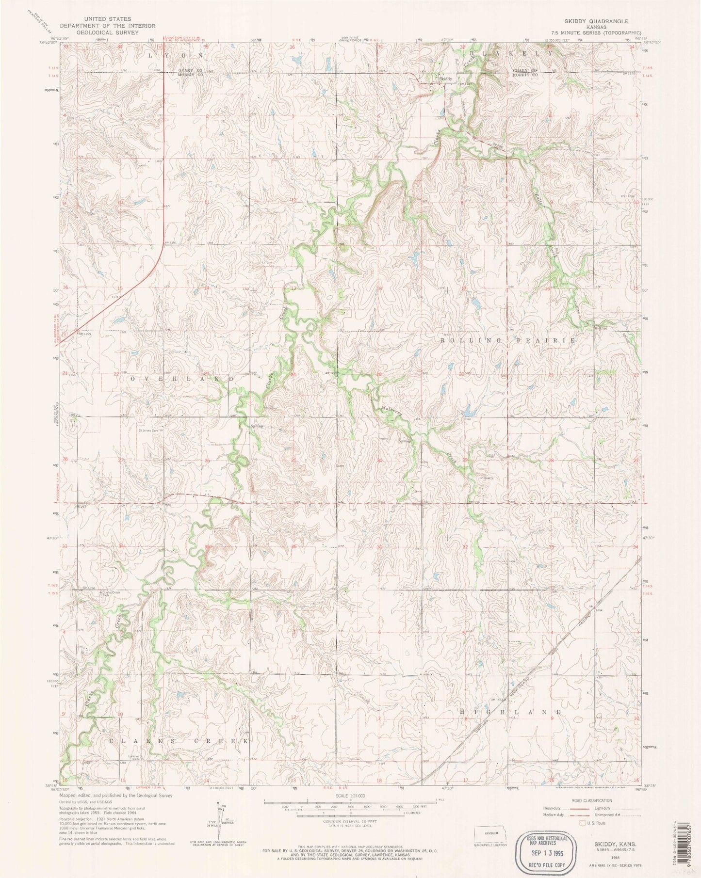
Classic USGS Skiddy Kansas 7.5'x7.5' Topo Map
Regular price
$16.95
Regular price
Sale price
$16.95
Unit price
per
Couldn't load pickup availability
Historical USGS topographic quad map of Skiddy in the state of Kansas. Map scale may vary for some years, but is generally around 1:24,000. Print size is approximately 24" x 27"
This quadrangle is in the following counties: Geary, Morris.
The map contains contour lines, roads, rivers, towns, and lakes. Printed on high-quality waterproof paper with UV fade-resistant inks, and shipped rolled.
Contains the following named places: Calling Winds Farm, Clarks Creek Cemetery, Herpich Farm, Kniebel Farms, Latimer Cemetery, Mulberry Creek, Ralls Creek, Saint John's Cemetery, Skiddy, Spring Creek Ranch, Stilwell Ranch, Township 5, Township of Overland, ZIP Code: 66872