
MyTopo
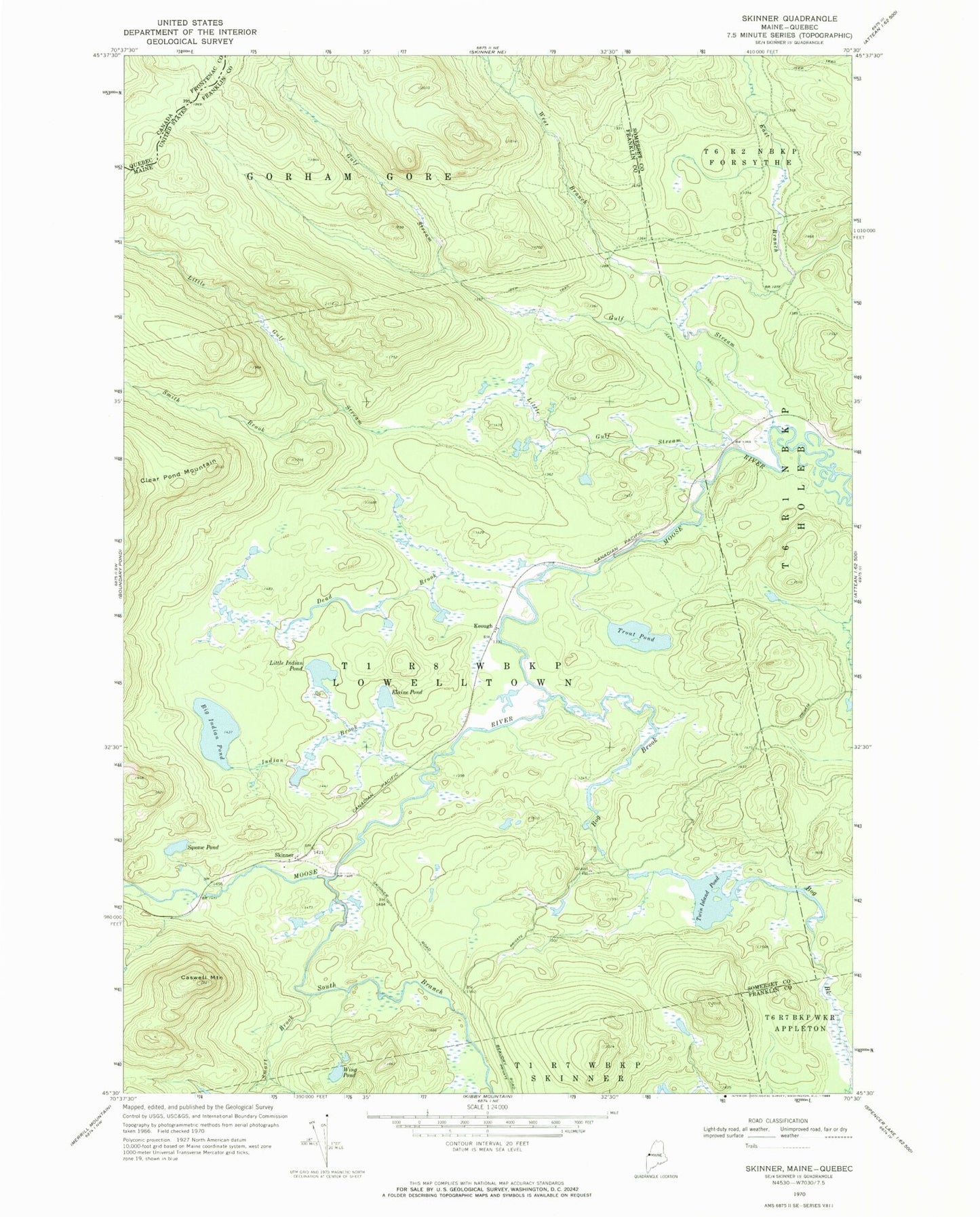
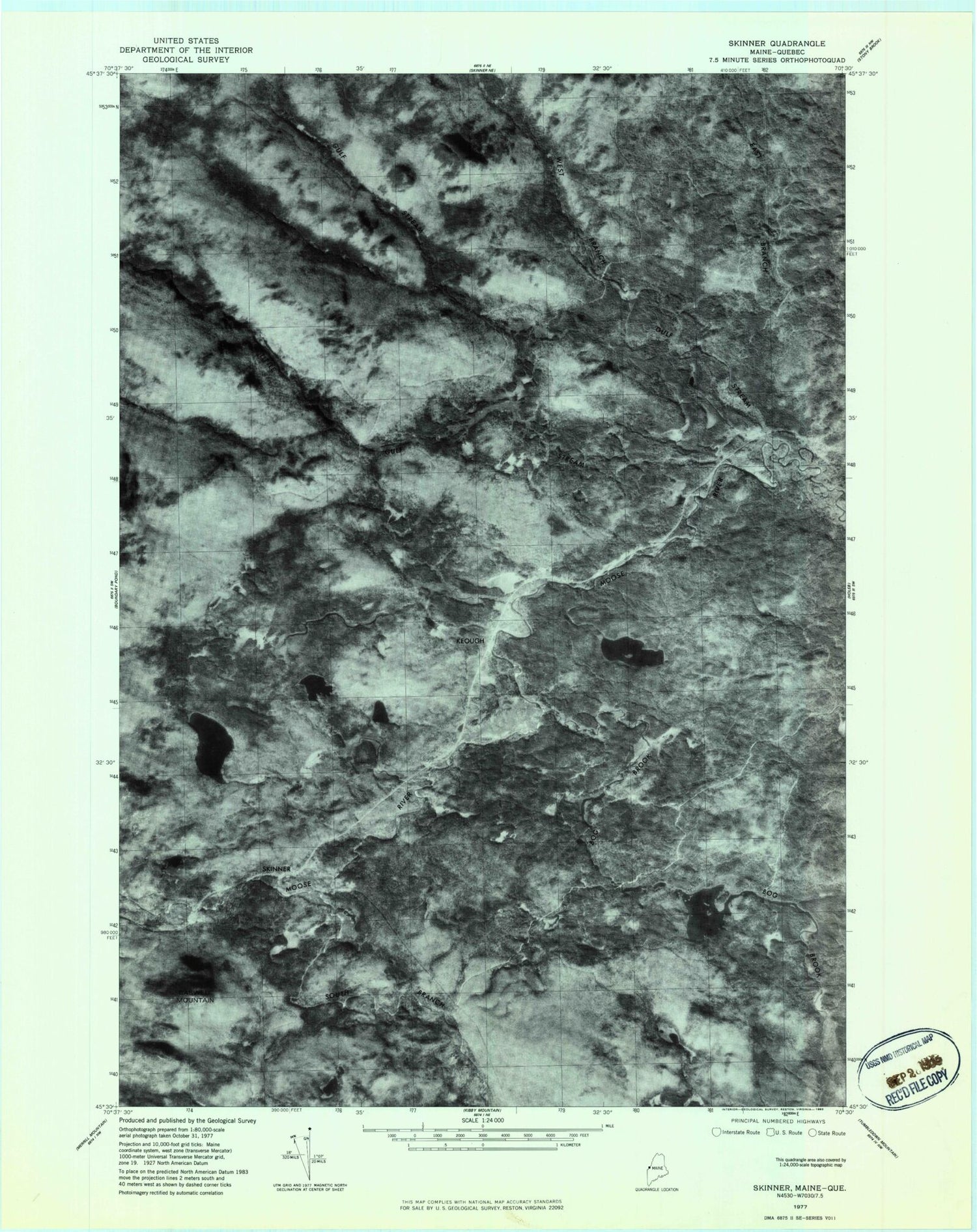
Classic USGS Skinner Maine 7.5'x7.5' Topo Map
Couldn't load pickup availability
Historical USGS topographic quad map of Skinner in the state of Maine. Typical map scale is 1:24,000, but may vary for certain years, if available. Print size: 24" x 27"
This quadrangle is in the following counties: Franklin, Somerset.
The map contains contour lines, roads, rivers, towns, and lakes. Printed on high-quality waterproof paper with UV fade-resistant inks, and shipped rolled.
Contains the following named places: Oqim Pond, Bog Brook, Caswell Mountain, Dead Brook, East Branch Gulf Stream, Elaine Pond, Gulf Stream, Indian Brook, Little Gulf Stream, Sapet Pond, Smart Brook, Smith Brook, South Branch Moose River, Sipun Pond, Trout Pond, Twin Island Pond, West Branch Gulf Stream, Wing Pond, Keough, Skinner, Passamaquoddy Trust Land, Gorham Gore, Lowelltown Township