
MyTopo
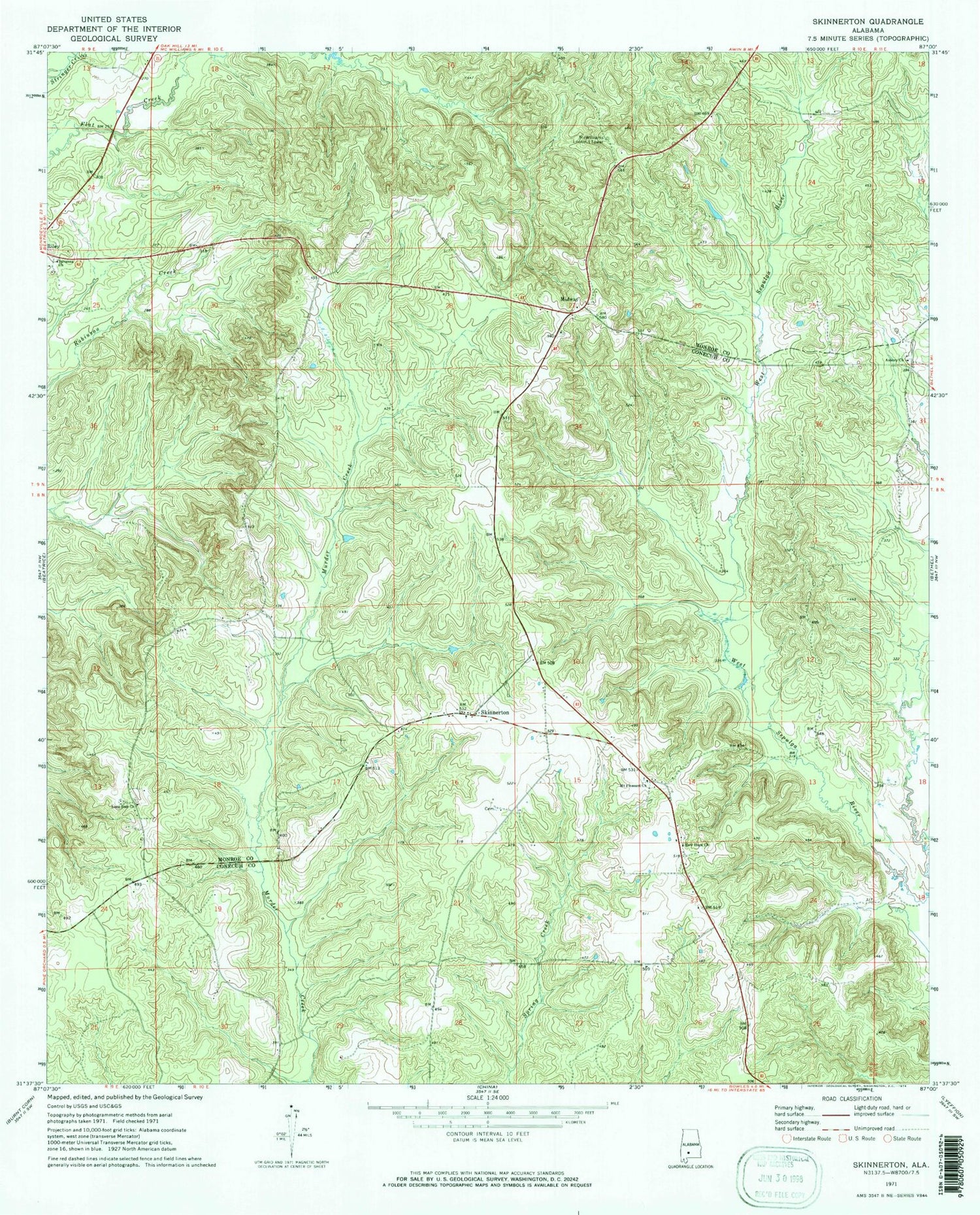
Classic USGS Skinnerton Alabama 7.5'x7.5' Topo Map
Couldn't load pickup availability
Historical USGS topographic quad map of Skinnerton in the state of Alabama. Map scale may vary for some years, but is generally around 1:24,000. Print size is approximately 24" x 27"
This quadrangle is in the following counties: Conecuh, Monroe.
The map contains contour lines, roads, rivers, towns, and lakes. Printed on high-quality waterproof paper with UV fade-resistant inks, and shipped rolled.
Contains the following named places: Asbury Church, Beatrice Division, Brooks School, Brown School, Christian Valley Church, Lone Star Cemetery, Lone Star Reorganized Church of Jesus Christ of Latter Day Saints, McWilliams Lookout Tower, Midway, Midway Baptist Church, Midway Cemetery, Midway School, Mims School, Mixons School, Mount Pleasant United Methodist Church, New Hope Church, Savannah Missionary Baptist Church, Skinnerton, Skinnerton Church, Skinnerton Volunteer Fire Department, Watters School


