MyTopo
Classic USGS Skull Creek Butte Oregon 7.5'x7.5' Topo Map
Regular price
$16.95
Regular price
Sale price
$16.95
Unit price
per
Couldn't load pickup availability
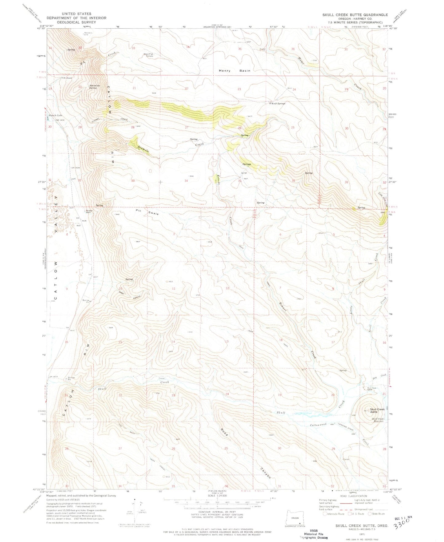
Historical USGS topographic quad map of Skull Creek Butte in the state of Oregon. Map scale may vary for some years, but is generally around 1:24,000. Print size is approximately 24" x 27"
This quadrangle is in the following counties: Harney.
The map contains contour lines, roads, rivers, towns, and lakes. Printed on high-quality waterproof paper with UV fade-resistant inks, and shipped rolled.
Contains the following named places: Alkali Flat Corrals, Bohemian Spring, Brezniak Ranch, Catlow Rim, Coon Canyon, Cottonwood Creek, Dry Creek, Echart Creek, Echart Grade, H L Ranch, Henry Basin, Little Skull Creek, O'Keefe Springs, Pic Swale, Road Canyon, Skull Creek Butte, Skull Creek Dam, Skull Creek Ranch