MyTopo
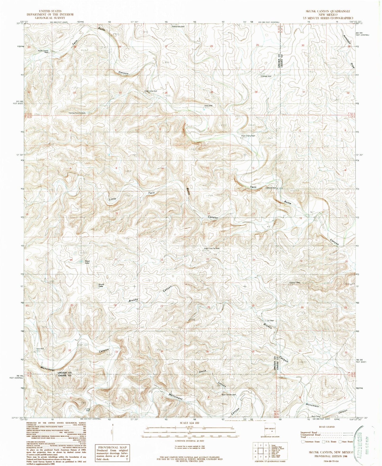
Classic USGS Skunk Canyon New Mexico 7.5'x7.5' Topo Map
Couldn't load pickup availability
Historical USGS topographic quad map of Skunk Canyon in the state of New Mexico. Map scale may vary for some years, but is generally around 1:24,000. Print size is approximately 24" x 27"
This quadrangle is in the following counties: Chaves, Lincoln.
The map contains contour lines, roads, rivers, towns, and lakes. Printed on high-quality waterproof paper with UV fade-resistant inks, and shipped rolled.
Contains the following named places: Antelope Well, Black Canyon Well, Brushy Canyon, Burk Camp, Cat Well, Corn Ranch, Dicks Well, Johnson Ranch, Little Twin Butte Canyon, Little Well, Lone Well, Lookout Well, Lubbock Well, Martin Harold Well, Mattox Well, Mothers Well, Pond Lake, Rattlesnake Well, Skunk Canyon, South Lake, Water Hole Well, West Cherry Well, West Crow Flat Well, Yearling Pasture Well