MyTopo
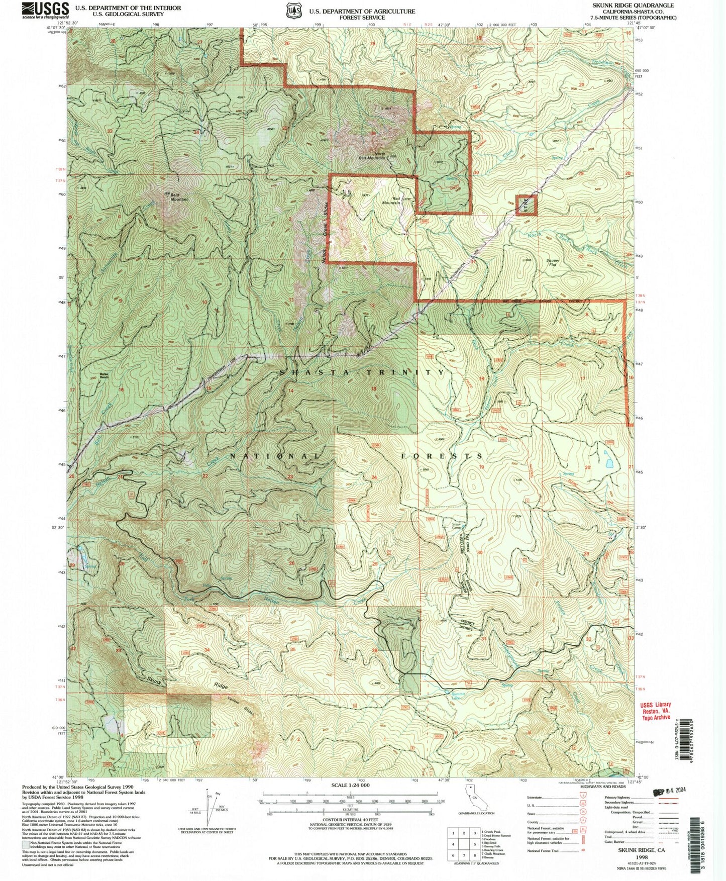
Classic USGS Skunk Ridge California 7.5'x7.5' Topo Map
Couldn't load pickup availability
Historical USGS topographic quad map of Skunk Ridge in the state of California. Map scale may vary for some years, but is generally around 1:24,000. Print size is approximately 24" x 27"
This quadrangle is in the following counties: Shasta.
The map contains contour lines, roads, rivers, towns, and lakes. Printed on high-quality waterproof paper with UV fade-resistant inks, and shipped rolled.
Contains the following named places: Bald Mountain, Bull Creek, Burke Ranch, Coal Mine Trail, Crews Cabin, Deadman Creek, Indian Creek, Nelson Creek Slides, North Fork Rock Creek, North Red Mountain, Peavine Creek, Poison Creek, Red Mountain, Rough and Ready Trail, Skunk Ridge, Snow Camp, Squaw Flat, Summit Lake, Underground Creek, Yellow Slides