MyTopo
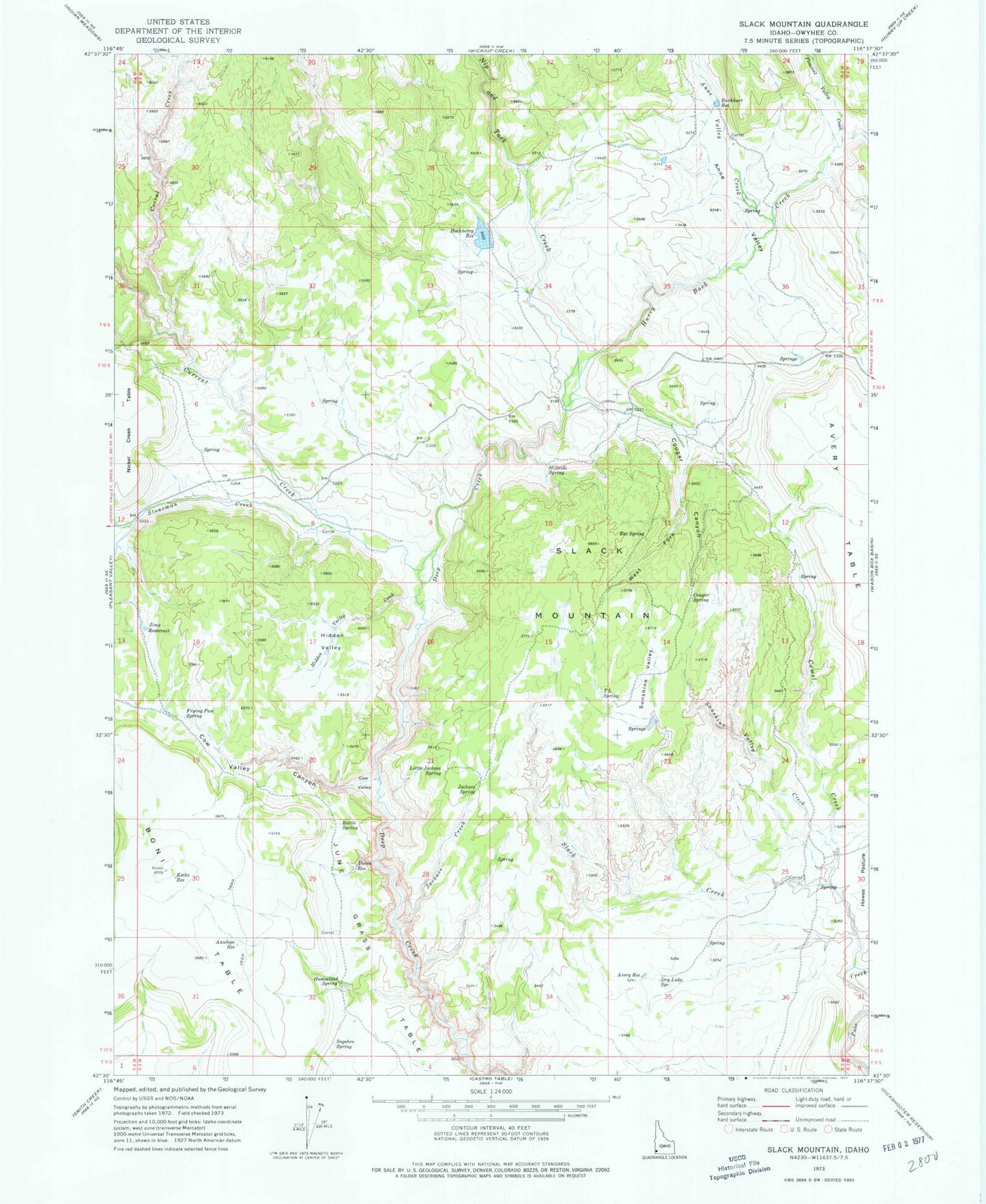
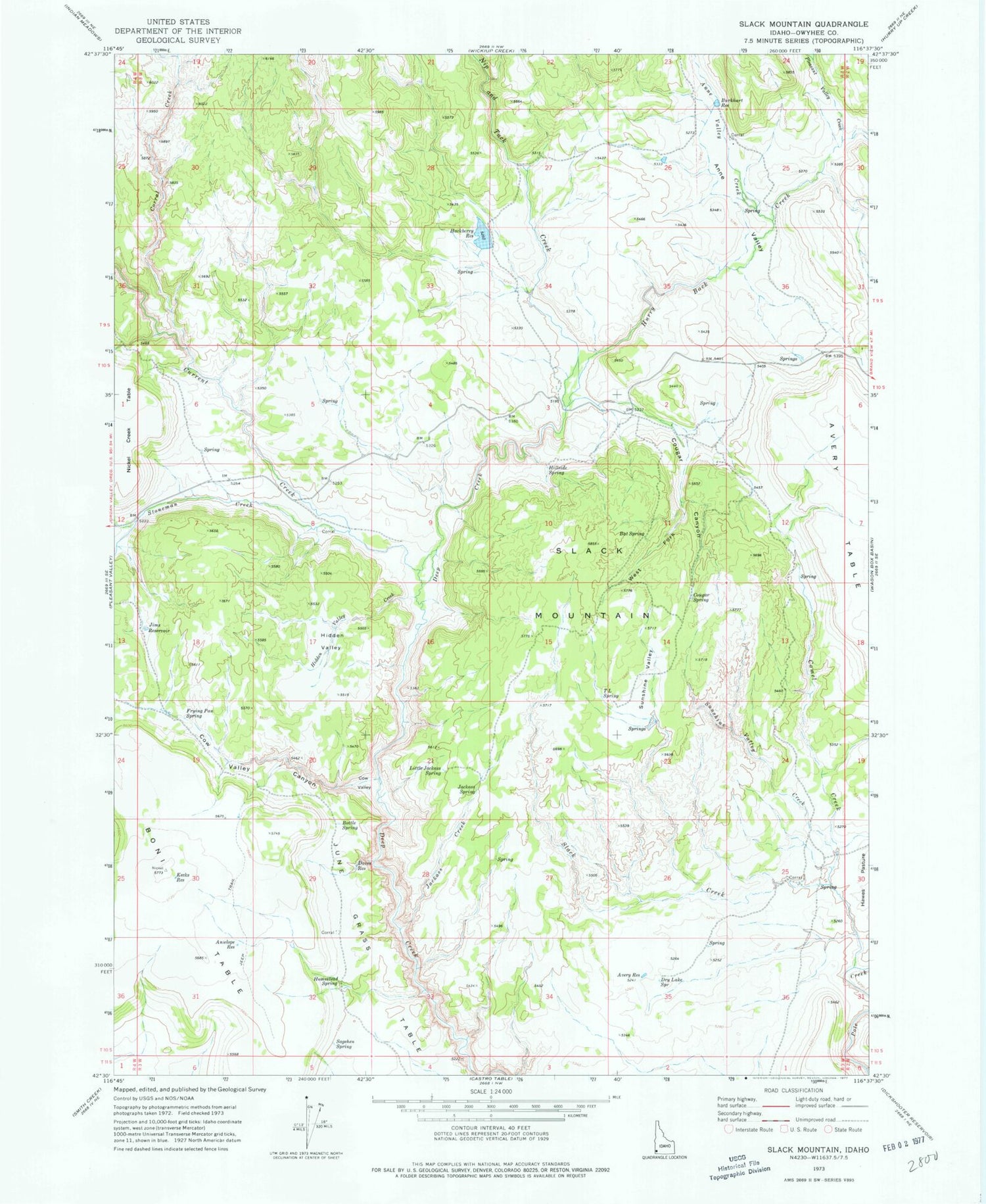
Classic USGS Slack Mountain Idaho 7.5'x7.5' Topo Map
Couldn't load pickup availability
Historical USGS topographic quad map of Slack Mountain in the state of Idaho. Map scale may vary for some years, but is generally around 1:24,000. Print size is approximately 24" x 27"
This quadrangle is in the following counties: Owyhee.
The map contains contour lines, roads, rivers, towns, and lakes. Printed on high-quality waterproof paper with UV fade-resistant inks, and shipped rolled.
Contains the following named places: Anne Valley, Anne Valley Creek, Antelope Reservoir, Avery Reservoir, Bat Spring, Boni Table, Bottle Spring, Burkhart Reservoir, Camel Creek, Corral Creek, Cougar Canyon, Cougar Spring, Cow Valley, Cow Valley Canyon, Crooked Creek, Current Creek, Daves Reservoir, Dry Lake Spring, Frying Pan Spring, Hackberry Reservoir, Hagberry Dam, Hidden Valley, Hidden Valley Creek, Hillside Spring, Homestead Spring, Hurry Back Creek, Jackass Creek, Jackass Spring, Jims Reservoir, June Grass Table, Kecks Reservoir, Little Jackass Spring, Nip and Tuck Creek, Pleasant Valley Creek, Sagehen Spring, Slack Creek, Slack Mountain, Stoneman Creek, Sunshine Valley, Sunshine Valley Creek, T L Spring, West Fork Cougar Canyon


