MyTopo
Classic USGS Slategoat Mountain Montana 7.5'x7.5' Topo Map
Regular price
$16.95
Regular price
Sale price
$16.95
Unit price
per
Couldn't load pickup availability
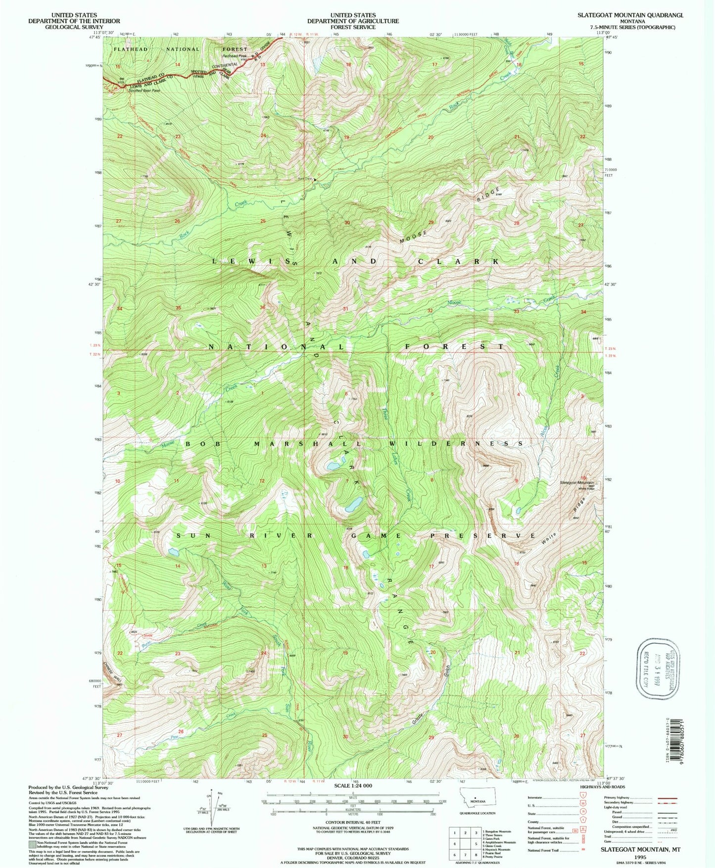
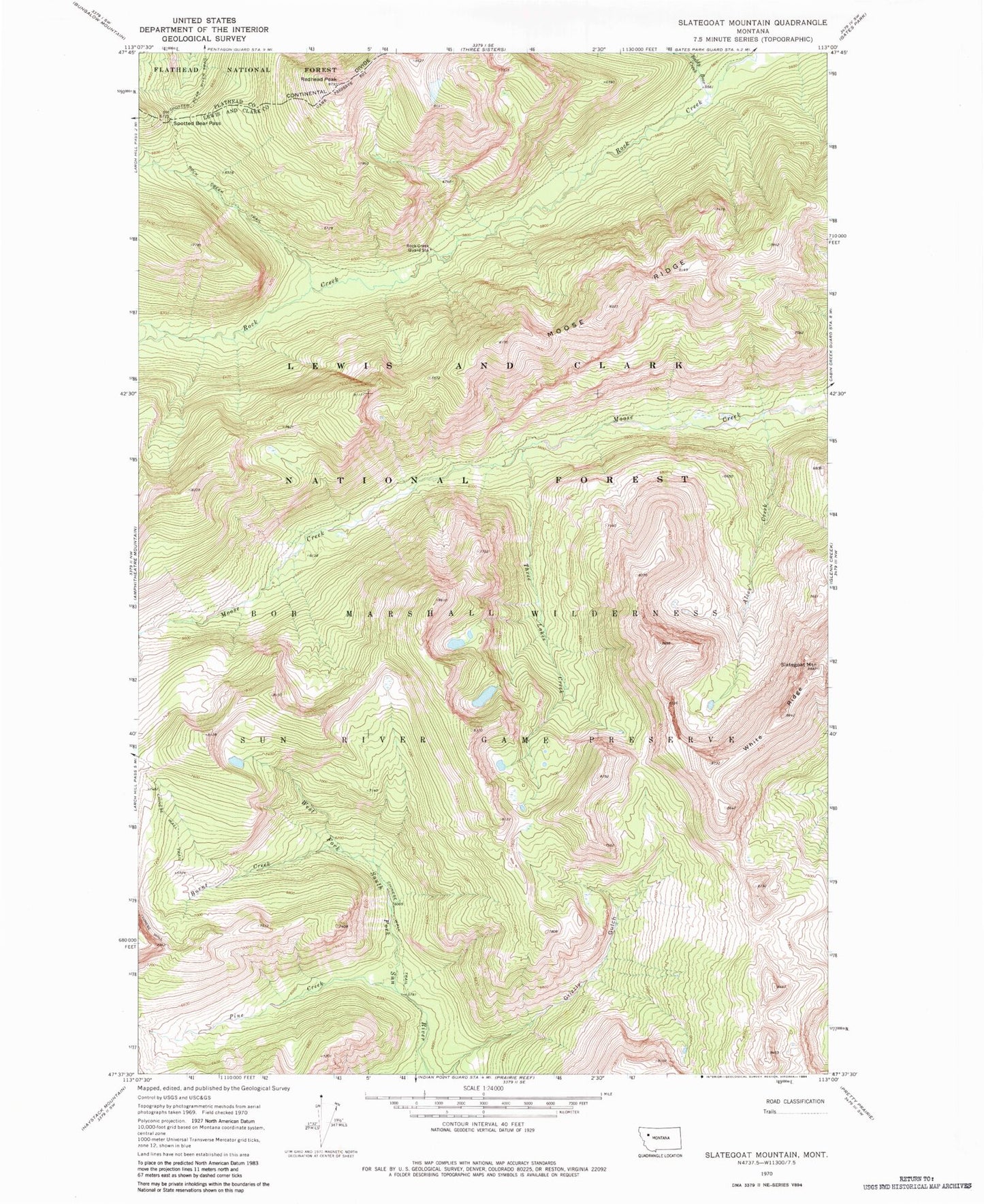
Historical USGS topographic quad map of Slategoat Mountain in the state of Montana. Typical map scale is 1:24,000, but may vary for certain years, if available. Print size: 24" x 27"
This quadrangle is in the following counties: Flathead, Lewis and Clark.
The map contains contour lines, roads, rivers, towns, and lakes. Printed on high-quality waterproof paper with UV fade-resistant inks, and shipped rolled.
Contains the following named places: Spotted Bear River Trail, Alces Creek, Baldy Bear Creek, Burnt Creek, Moose Ridge, Pine Creek, Redhead Peak, Rock Creek Guard Station, Rock Creek Trail, Slategoat Mountain, Spotted Bear Pass, Three Lakes Creek, White Ridge