MyTopo
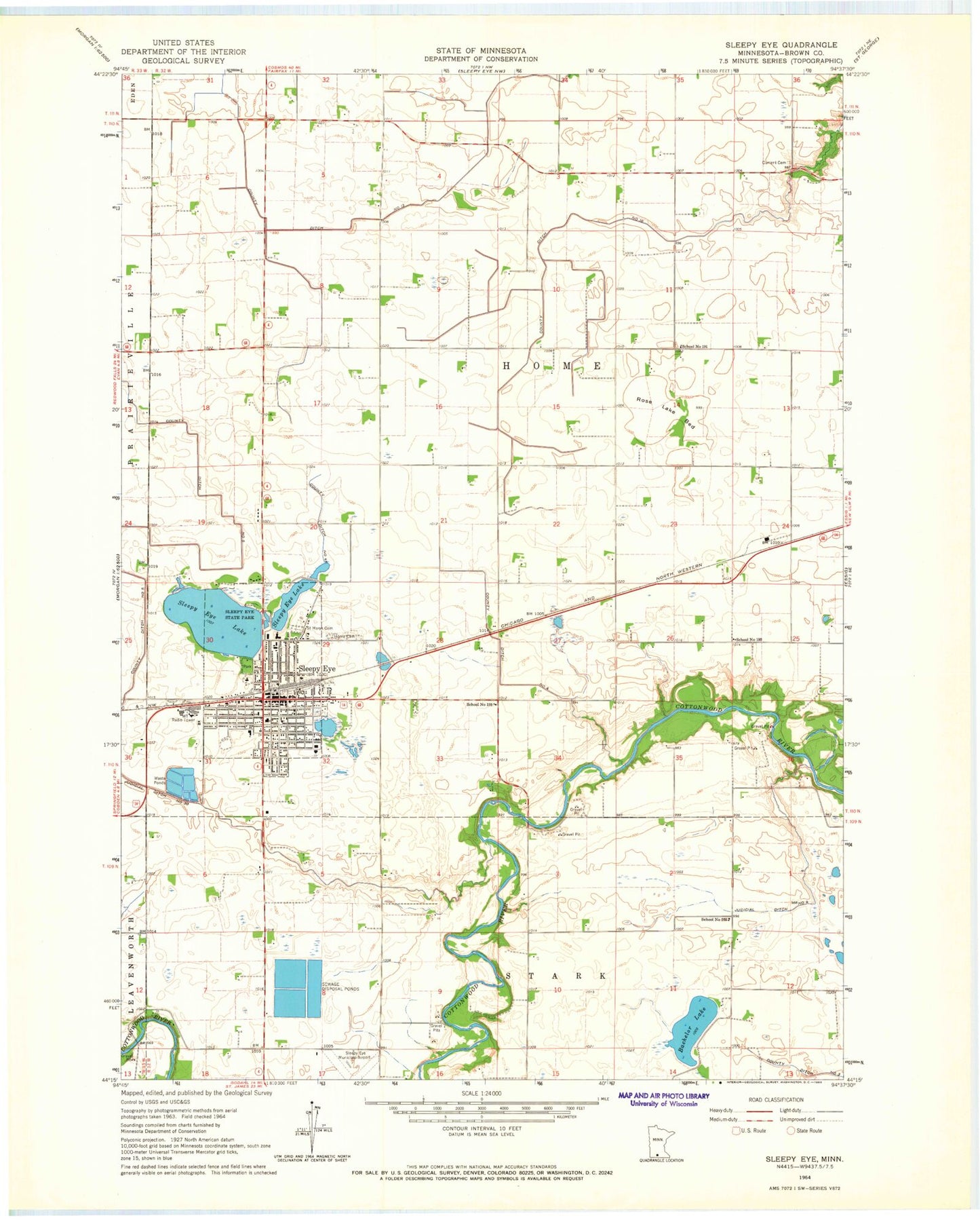
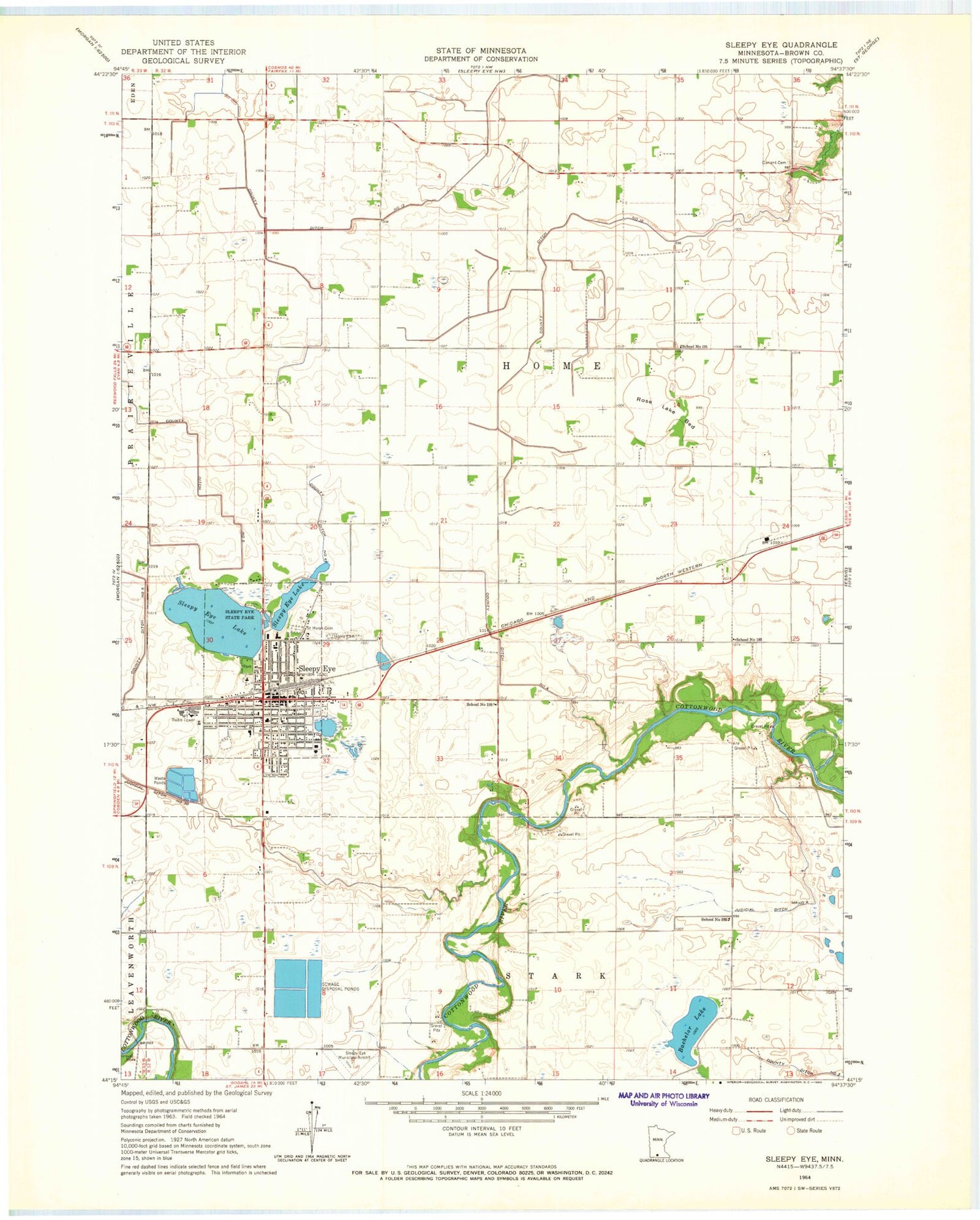
Classic USGS Sleepy Eye Minnesota 7.5'x7.5' Topo Map
Couldn't load pickup availability
Historical USGS topographic quad map of Sleepy Eye in the state of Minnesota. Map scale may vary for some years, but is generally around 1:24,000. Print size is approximately 24" x 27"
This quadrangle is in the following counties: Brown.
The map contains contour lines, roads, rivers, towns, and lakes. Printed on high-quality waterproof paper with UV fade-resistant inks, and shipped rolled.
Contains the following named places: Allison Park, Bachelor Lake, Brauns Airport, Burnside Park, Calvary Baptist Church, Chief Sleepy Eye Statue, Chief Sleepy Eyes State Monument, City of Sleepy Eye, County Ditch Number Five, County Ditch Number Fortyfive, County Ditch Number Four, County Ditch Number Ten, County Ditch Number Thirteen, Current Cemetery, Divine Providence Nursing Home, Dyckman Free Library, Eagles Park, Faith United Methodist Church, Grace Evangelical Lutheran Church, Home Cemetery, Judicial Ditch Number Four, Judicial Ditch Number Thirty, Kiefer Park, New Hope Community Church, Prairieview Park, Rose Lake Bed, Saint John's Elementary School, Saint John's Evangelical Lutheran Church, Saint Mary's Catholic School, Saint Mary's Cemetery, Saint Mary's Church, School Number 191, School Number 193, School Number 199, School Number 203, Sleepy Eye, Sleepy Eye Area Depot Museum, Sleepy Eye Baseball Park, Sleepy Eye Campground, Sleepy Eye Care Center, Sleepy Eye Control Dam, Sleepy Eye Fire Department, Sleepy Eye Lake, Sleepy Eye Medical Center, Sleepy Eye Medical Clinic, Sleepy Eye Municipal Airport, Sleepy Eye Police Department, Sleepy Eye Post Office, Sleepy Eye Public High School, Sleepy Eye State Park, South Park, Sportman's Park, Templo Horeb, Township of Home, Trinity Lutheran Church, Union Congregational Church, Wooldrik Park, ZIP Code: 56085


