MyTopo
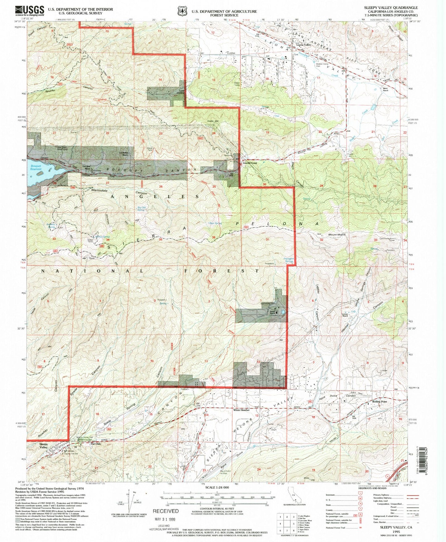
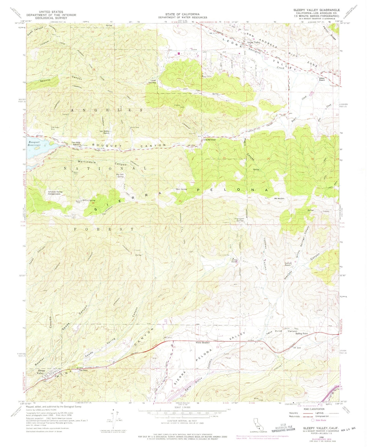
Classic USGS Sleepy Valley California 7.5'x7.5' Topo Map
Couldn't load pickup availability
Historical USGS topographic quad map of Sleepy Valley in the state of California. Map scale may vary for some years, but is generally around 1:24,000. Print size is approximately 24" x 27"
This quadrangle is in the following counties: Los Angeles.
The map contains contour lines, roads, rivers, towns, and lakes. Printed on high-quality waterproof paper with UV fade-resistant inks, and shipped rolled.
Contains the following named places: Agua Dulce Airport, Agua Dulce Census Designated Place, Agua Dulce School, Annan Ranch, Artesian Spring, Artesian Spring Campgrounds, Bear Spring, Big Oak Spring, Boiling Point, Fryingpan Springs, Grass Mountain Leona Divide Truck Trail, Gray Eagle Mine, Hauser Canyon, Lannan Ranch, Leona School, Leona Valley, Leona Valley Census Designated Place, Leona Valley Elementary School, Letteau Canyon, Lincoln Crest, Los Angeles County Fire Department Station 140, Los Angeles County Fire Department Station 81, Los Robles Ranch, Lost Valley, Maple Canyon, Martindale Canyon, Mount McDill, Pelona Lookout, R and H Trail, Ritter Ranch, Rogers Creek, Sierra Pelona, Sleepy Valley, Spade Canyon, Spade Spring Canyon, The Oaks, Two Shay Ranch, White Heather, Willow Spring, Willow Springs Canyon