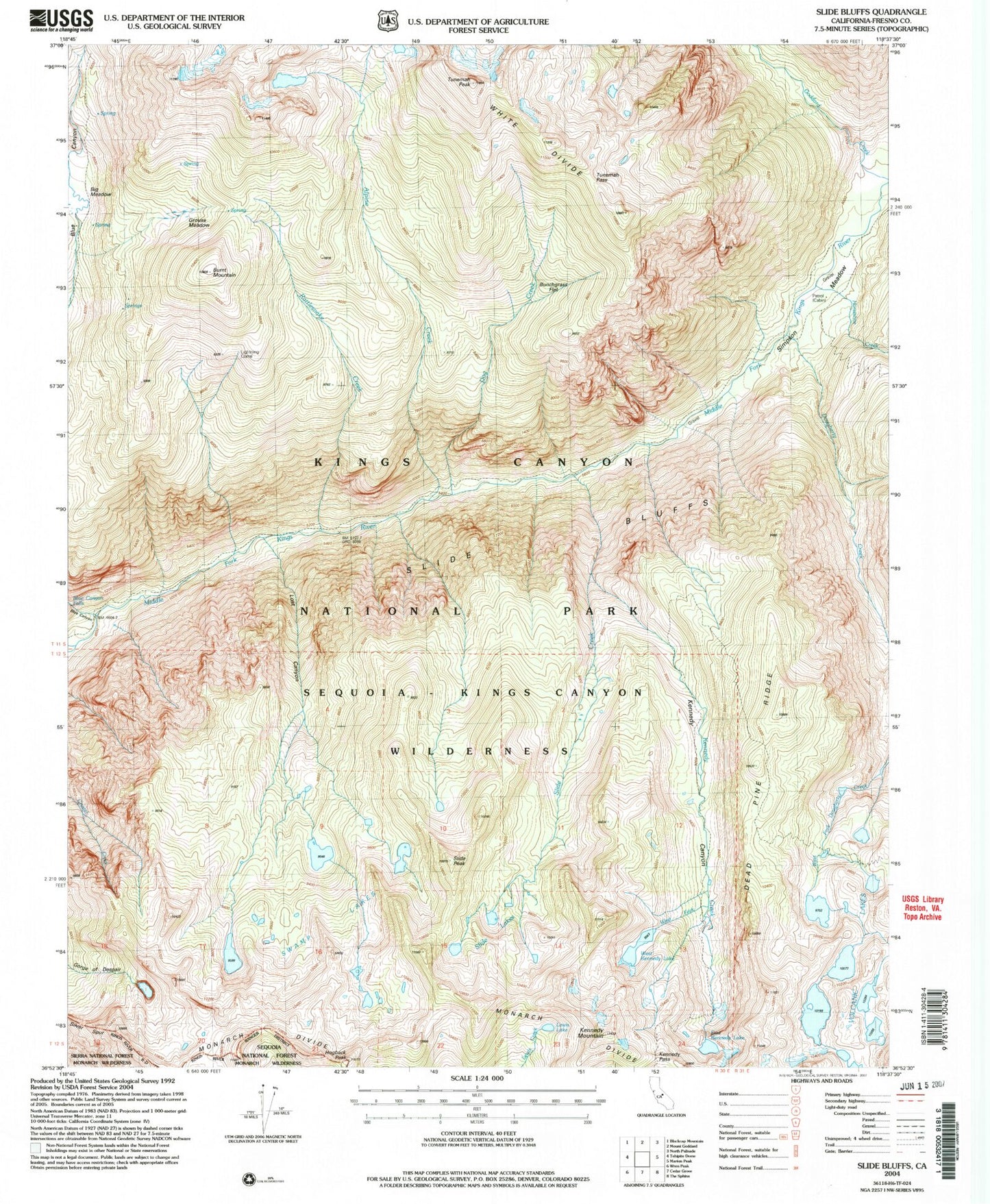
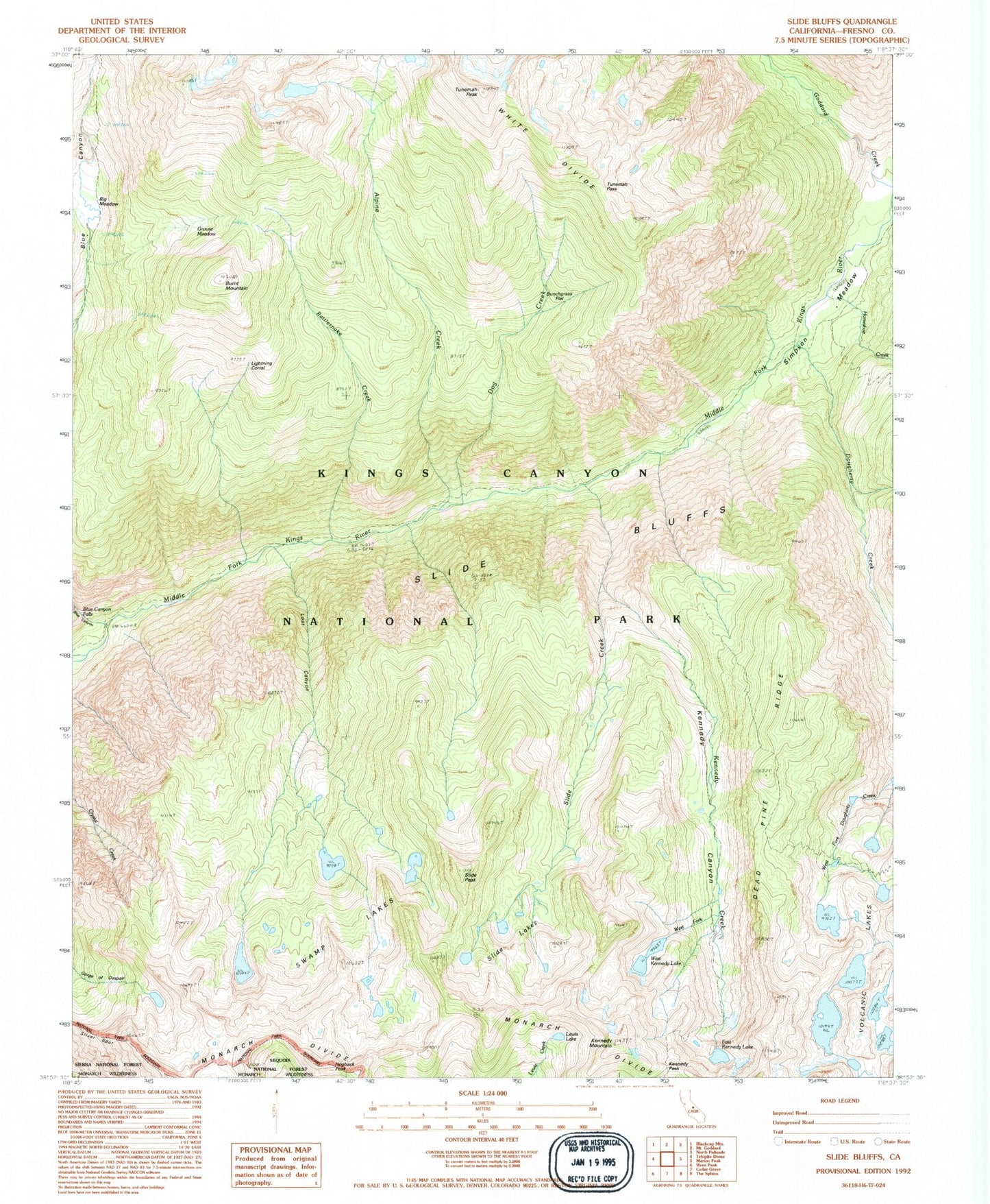
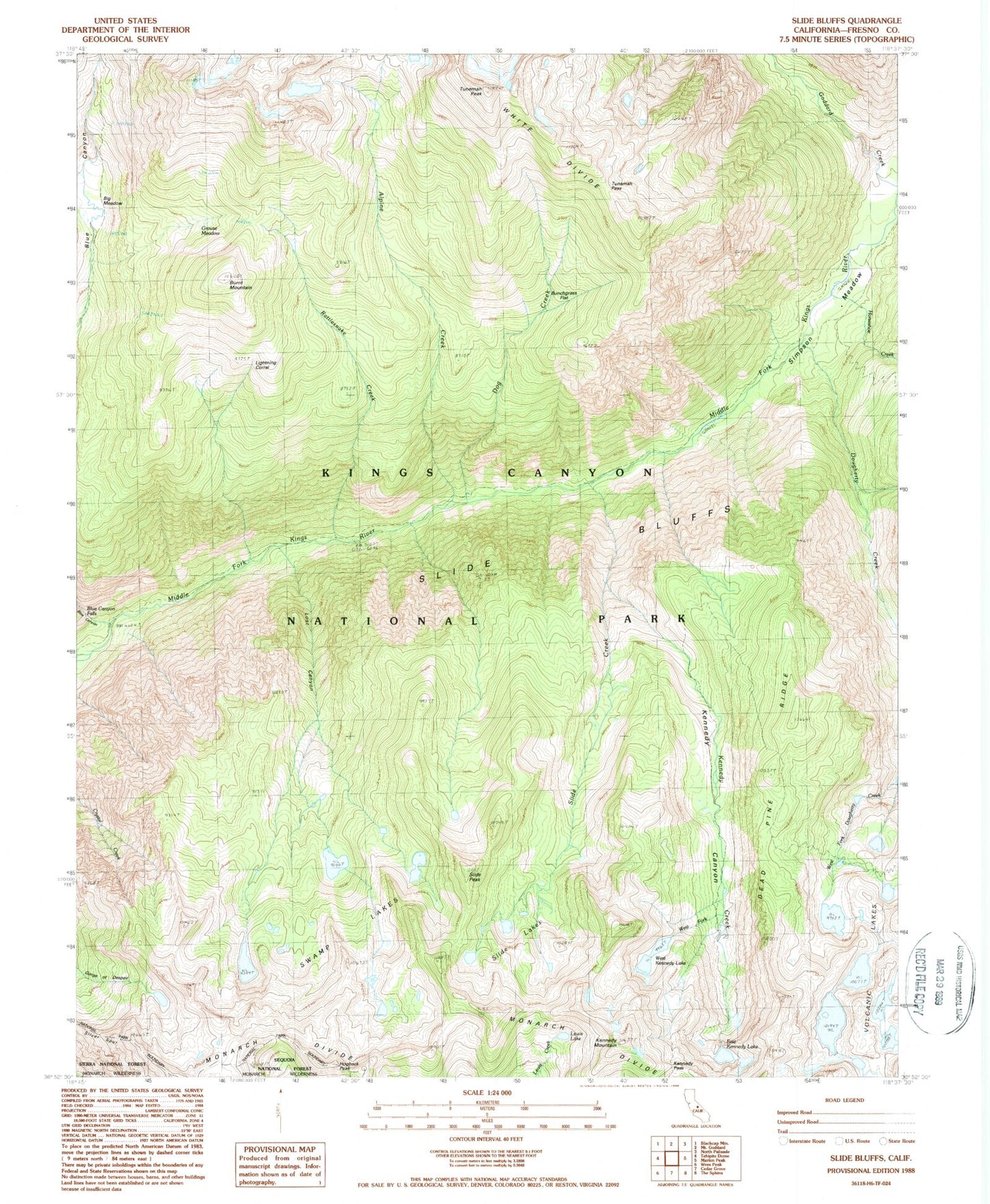
MyTopo
Classic USGS Slide Bluffs California 7.5'x7.5' Topo Map
Couldn't load pickup availability
Historical USGS topographic quad map of Slide Bluffs in the state of California. Map scale may vary for some years, but is generally around 1:24,000. Print size is approximately 24" x 27"
This quadrangle is in the following counties: Fresno.
The map contains contour lines, roads, rivers, towns, and lakes. Printed on high-quality waterproof paper with UV fade-resistant inks, and shipped rolled.
Contains the following named places: Alpine Creek, Big Meadow, Blue Canyon, Blue Canyon Falls, Bunchgrass Flat, Burnt Mountain, Dead Pine Ridge, Dog Creek, Dougherty Creek, East Kennedy Lake, Grouse Meadow, Hogback Peak, Horseshoe Creek, Kennedy Canyon, Kennedy Creek, Kennedy Mountain, Kennedy Pass, Lewis Lake, Lightning Corral, Lost Canyon, Rattlesnake Creek, Silver Spur, Simpson Meadow, Slide Bluffs, Slide Creek, Slide Lakes, Slide Peak, Swamp Lakes, Tunemah Pass, Tunemah Peak, Volcanic Lakes, West Fork Kennedy Creek, West Kennedy Lake