MyTopo
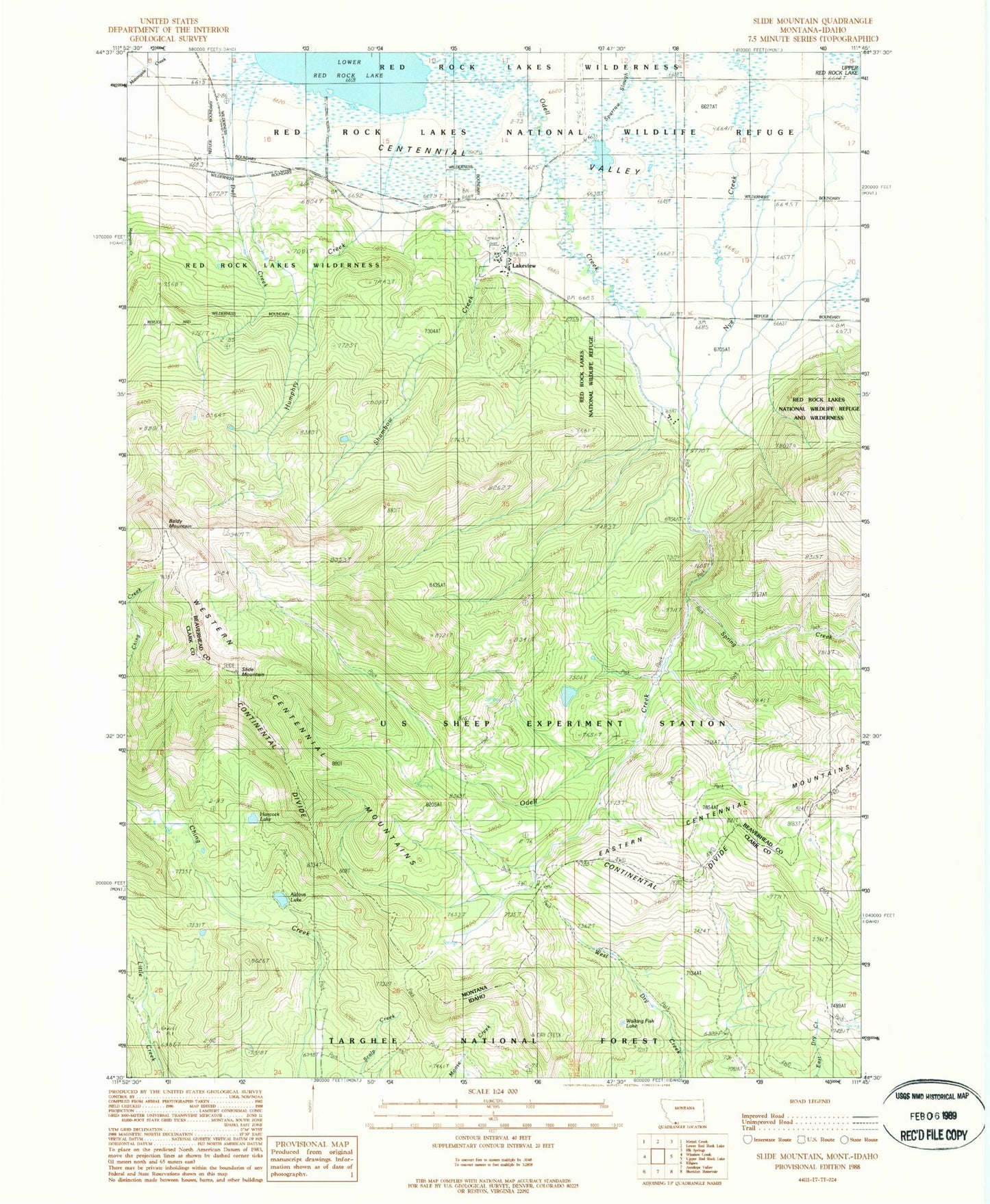
Classic USGS Slide Mountain Montana 7.5'x7.5' Topo Map
Couldn't load pickup availability
Historical USGS topographic quad map of Slide Mountain in the states of Montana, Idaho. Typical map scale is 1:24,000, but may vary for certain years, if available. Print size: 24" x 27"
This quadrangle is in the following counties: Beaverhead, Clark.
The map contains contour lines, roads, rivers, towns, and lakes. Printed on high-quality waterproof paper with UV fade-resistant inks, and shipped rolled.
Contains the following named places: Baldy Mountain, Centennial Mountains, Duff Creek, Humphry Creek, Lakeview, Shambow Creek, Lakeview Mountain Ski Area, Spring Creek, Lakeview Airport (historical), 14S02W23CAA_01 Well, 14S02W23BCA_01 Well, 14S02W23BDDA01 Well, 14S02W23BDAA01 Well, 14S02W22AACD01 Well, 14S02W23BABA01 Well, Lakeview Post Office (historical), Magdalen Post Office (historical), Lakeview School (historical), Magdalen (historical), Lakeview Census Designated Place, Hancock Lake, Slide Mountain, Walking Fish Lake, Aldous Lake