MyTopo
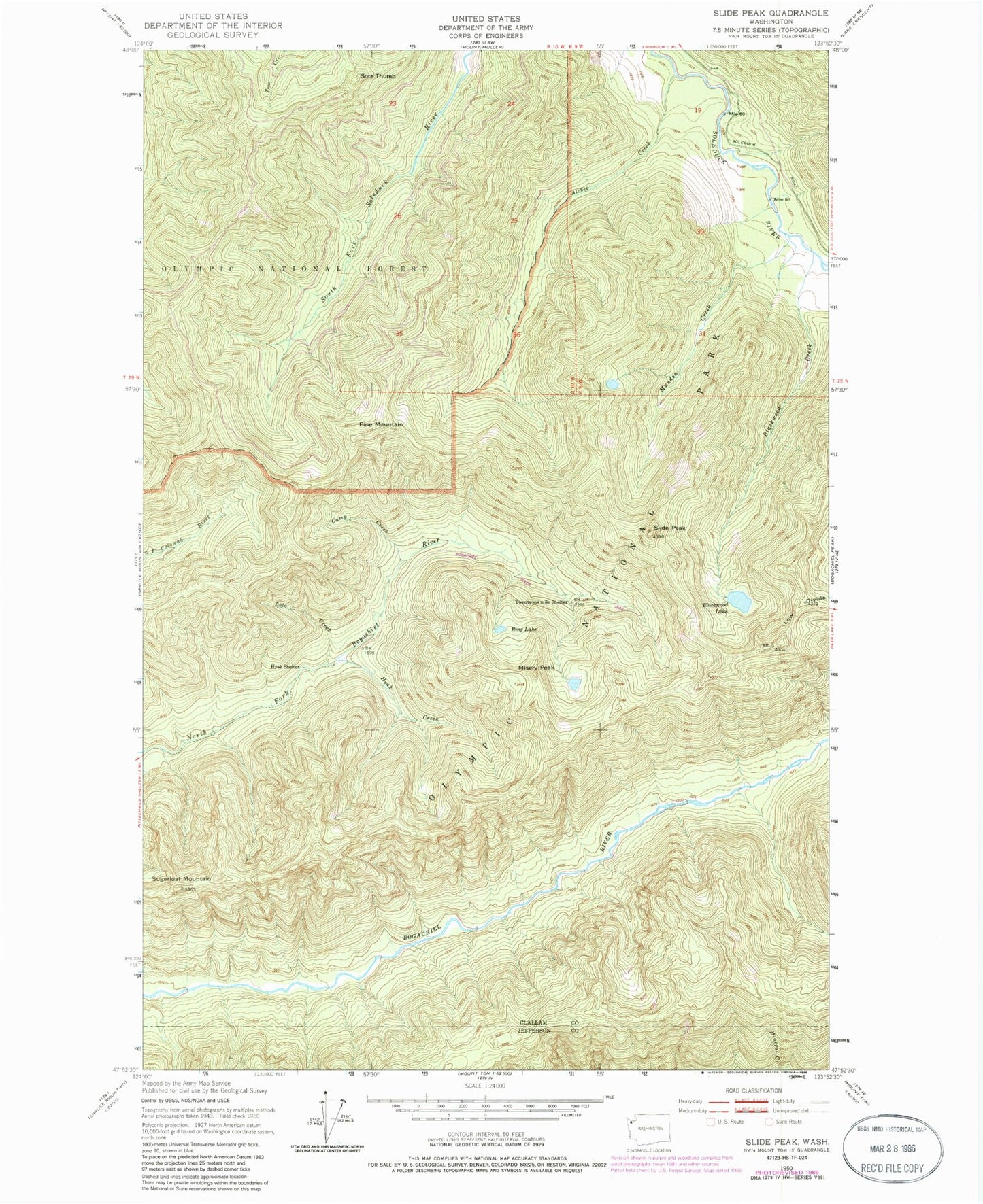
Classic USGS Slide Peak Washington 7.5'x7.5' Topo Map
Regular price
$16.95
Regular price
Sale price
$16.95
Unit price
per
Couldn't load pickup availability
Historical USGS topographic quad map of Slide Peak in the state of Washington. Map scale may vary for some years, but is generally around 1:24,000. Print size is approximately 24" x 27"
This quadrangle is in the following counties: Clallam, Jefferson.
The map contains contour lines, roads, rivers, towns, and lakes. Printed on high-quality waterproof paper with UV fade-resistant inks, and shipped rolled.
Contains the following named places: Alckee Creek, Blackwood Creek, Blackwood Lake, Bogachiel Trail, Camp Creek, Hyak Creek, Hyak Shelter, Lolo Creek, Low Divide, Misery Peak, Munden Creek, Pine Mountain, Ring Lake, Slide Peak, Sore Thumb, Sugarloaf Mountain, Twentyone Mile Shelter