MyTopo
Classic USGS Slippery Rock Pennsylvania 7.5'x7.5' Topo Map
Couldn't load pickup availability
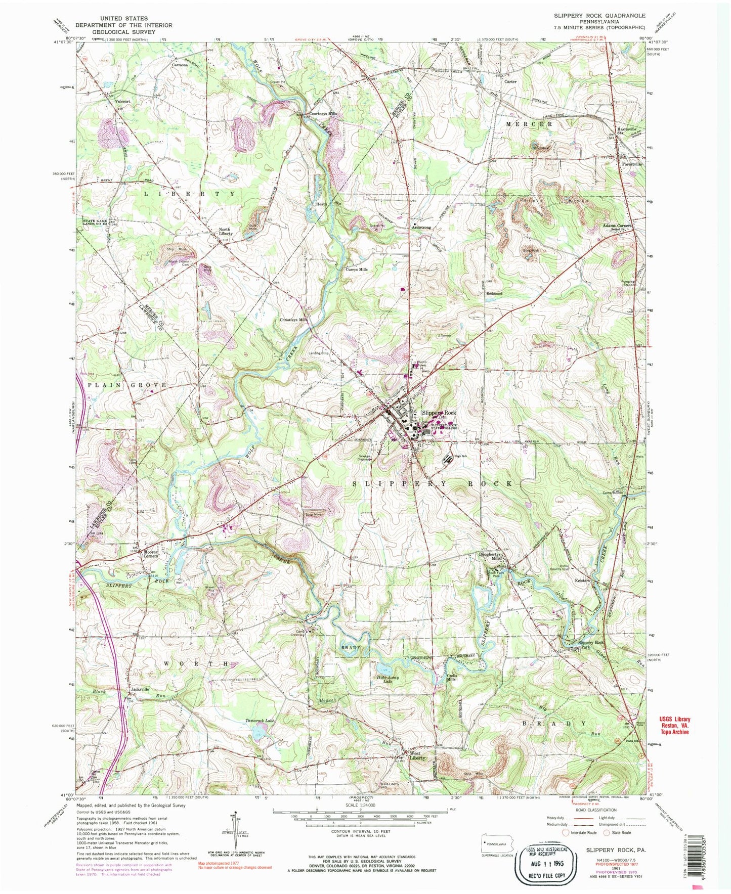
Historical USGS topographic quad map of Slippery Rock in the state of Pennsylvania. Typical map scale is 1:24,000, but may vary for certain years, if available. Print size: 24" x 27"
This quadrangle is in the following counties: Butler, Lawrence, Mercer.
The map contains contour lines, roads, rivers, towns, and lakes. Printed on high-quality waterproof paper with UV fade-resistant inks, and shipped rolled.
Contains the following named places: Adams Corners, Bethel Church, Big Run, Camp Bucoco, Camp Crestview, Carter, Center School, Doughertys Mills, Foltz School, Glade Run, Harrisville Station, Hide-Away Lake, Hogue Run, Jacksville, Keisters, Moores Corners, North Liberty, North Liberty Cemetery, Redmond, Rock Falls Park, Slippery Rock Park, Swamp Run, Tamarack Lake, West Liberty, West Liberty Cemetery, Wolf Creek, Forestville, Long Run, Flying Acres Airport (historical), Jennings Environmental Education Center, Miller School, Holliday School, Ralston School, Crocker School, Kelly Bridge, Kelly School, McKee School, Courtney School, WSRU-FM (Slippery Rock), West Liberty Esker, Armstrong, Carmona, Christleys Mills, Courtneys Mills, Crolls Mills, Currys Mills, Heath, Valcourt, Shamrock Public Golf Course, Slippery Rock University, Slippery Rock Area Elementary School, Slippery Rock Area Middle School, Slippery Rock Area High School, Kettle Hole, Armco Country Club, Slippery Rock, Old Stone House, Borough of Slippery Rock, Borough of West Liberty, Township of Slippery Rock, Township of Worth, Township of Liberty, Pittsburgh Presbyterian School, Slippery Rock University Census Designated Place, Slippery Rock Volunteer Fire Company 33, Slippery Rock Quarry, Forestville Post Office, Slippery Rock Post Office, Slippery Rock Police Department, Slippery Rock Cemetery, Wolf Creek United Presbyterian Cemetery, Centreville Cemetery


