MyTopo
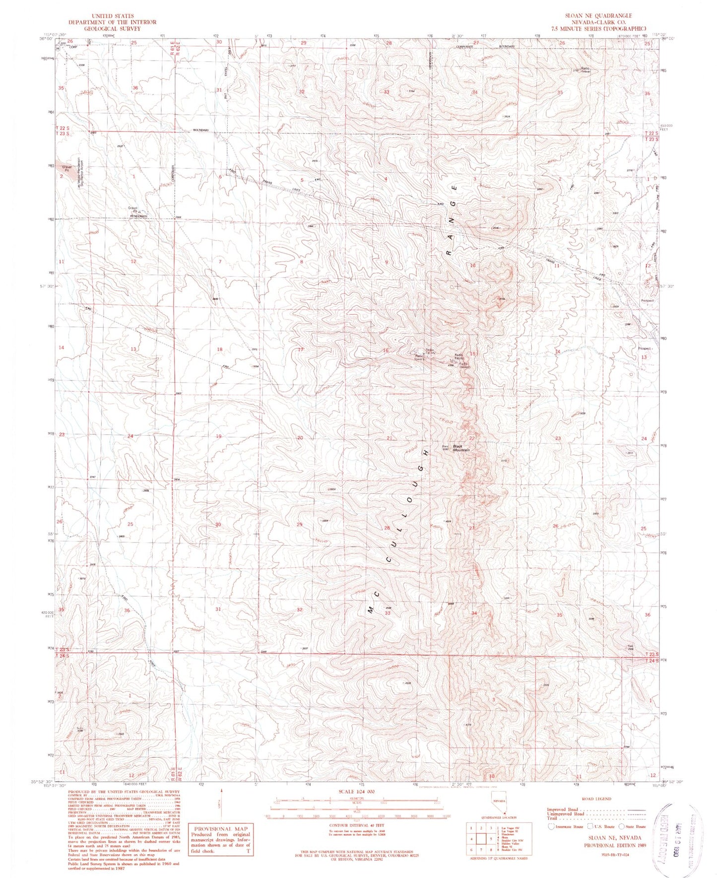
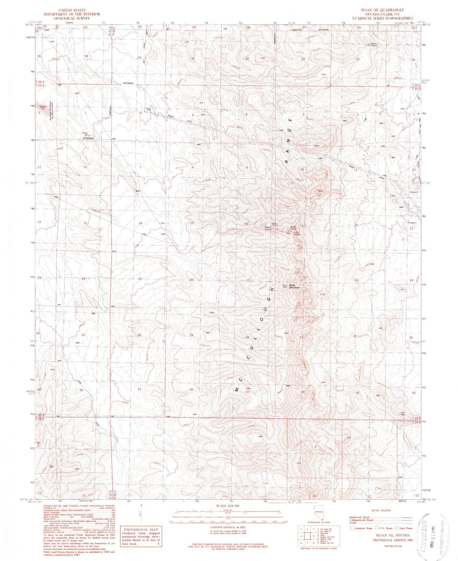
Classic USGS Sloan NE Nevada 7.5'x7.5' Topo Map
Couldn't load pickup availability
Historical USGS topographic quad map of Sloan NE in the state of Nevada. Typical map scale is 1:24,000, but may vary for certain years, if available. Print size: 24" x 27"
This quadrangle is in the following counties: Clark.
The map contains contour lines, roads, rivers, towns, and lakes. Printed on high-quality waterproof paper with UV fade-resistant inks, and shipped rolled.
Contains the following named places: Black Mountain, McCullough Range, Las Vegas Valley, KYRK-FM (Las Vegas), KILA-FM (Las Vegas), KOMP-FM (Las Vegas), KNPR-FM (Las Vegas), KLAS-TV (Las Vegas), KTNV-TV (Las Vegas), KFBT-TV (Las Vegas), Frank Lamping Elementary School, Elise L Wolff Elementary School, Del E Webb Middle School, Coronado High School, Hillcrest Academy, Warren Walker Upper School, Henderson Fire Department Station 98, Henderson Fire Department Station 99, Allegro Park, Sonata Park, North McCullough Wilderness, Seven Hills Post Office


