MyTopo
Classic USGS Sloan Reservoir Montana 7.5'x7.5' Topo Map
Couldn't load pickup availability
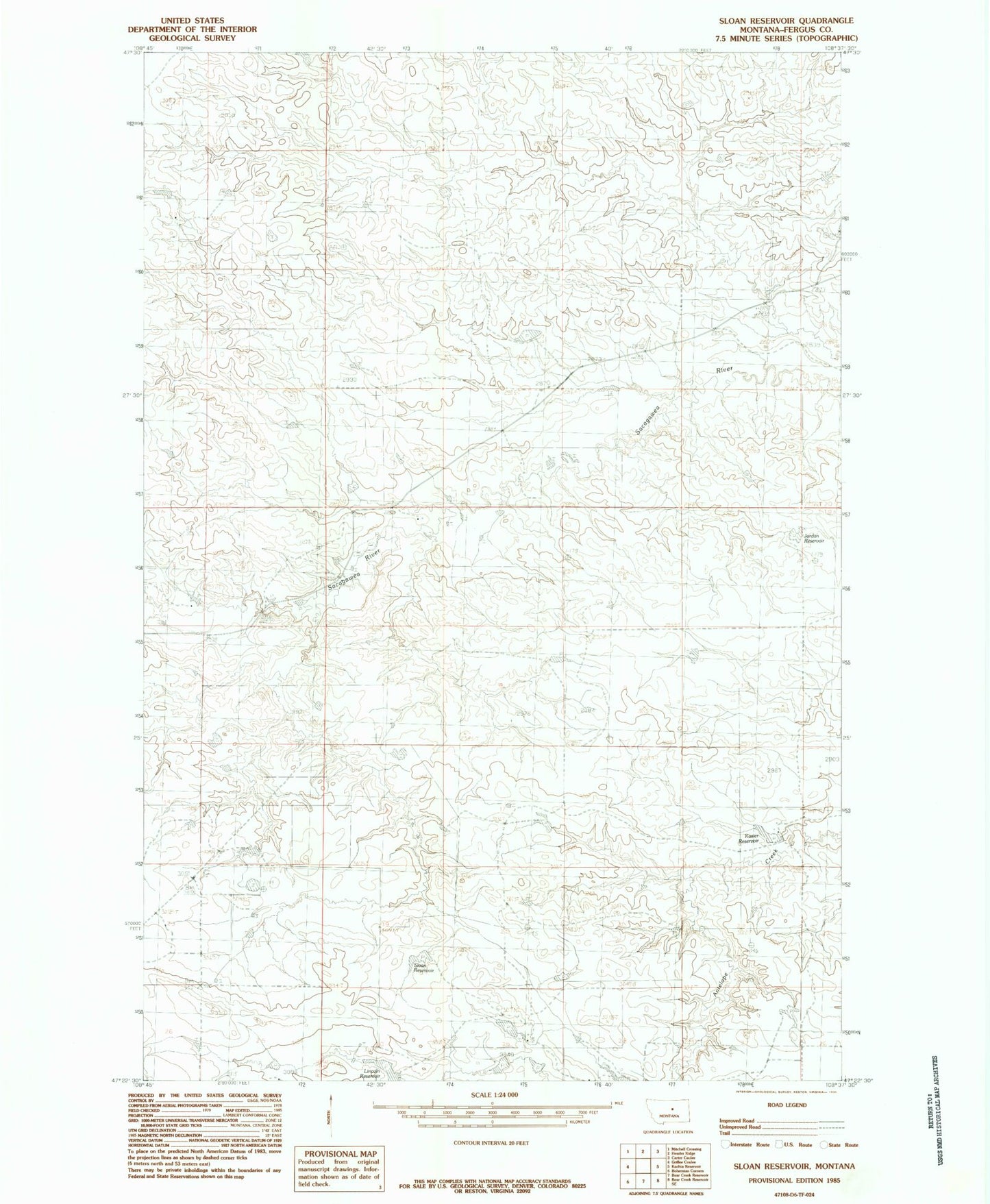
Historical USGS topographic quad map of Sloan Reservoir in the state of Montana. Map scale may vary for some years, but is generally around 1:24,000. Print size is approximately 24" x 27"
This quadrangle is in the following counties: Fergus.
The map contains contour lines, roads, rivers, towns, and lakes. Printed on high-quality waterproof paper with UV fade-resistant inks, and shipped rolled.
Contains the following named places: 19N24E06AA__01 Well, 19N24E06CBB_01 Well, Antelope School, Byford Post Office, Dory School, Ed Styer Number 2 Dam, Gullwing Dam, Indian Number 4 Dam, Jordan Reservoir, Joslin Bridge, Joslin Post Office, Kosier Reservoir, Lincoln Reservoir, Roy Division, Sloan Reservoir, Wood School