MyTopo
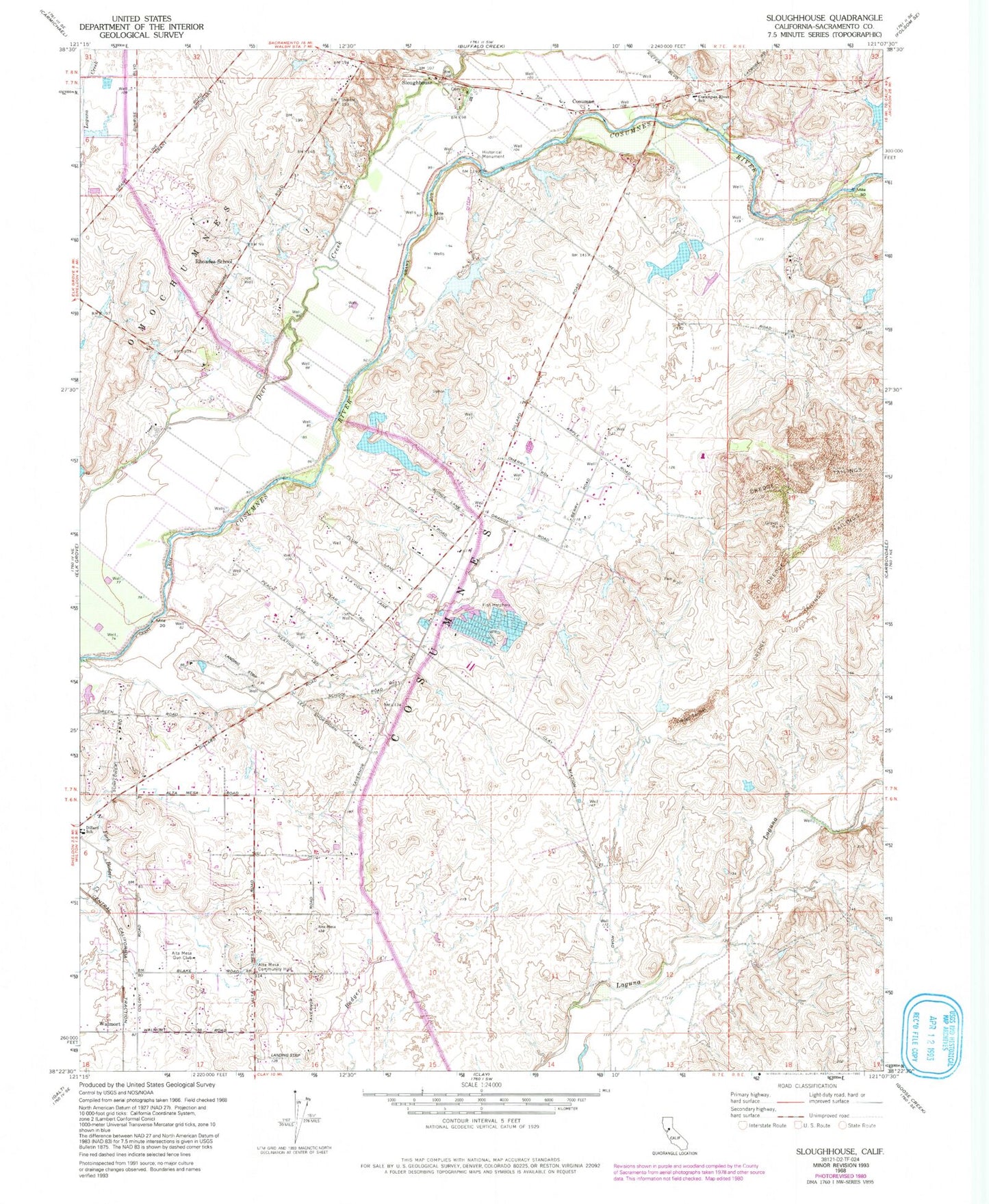
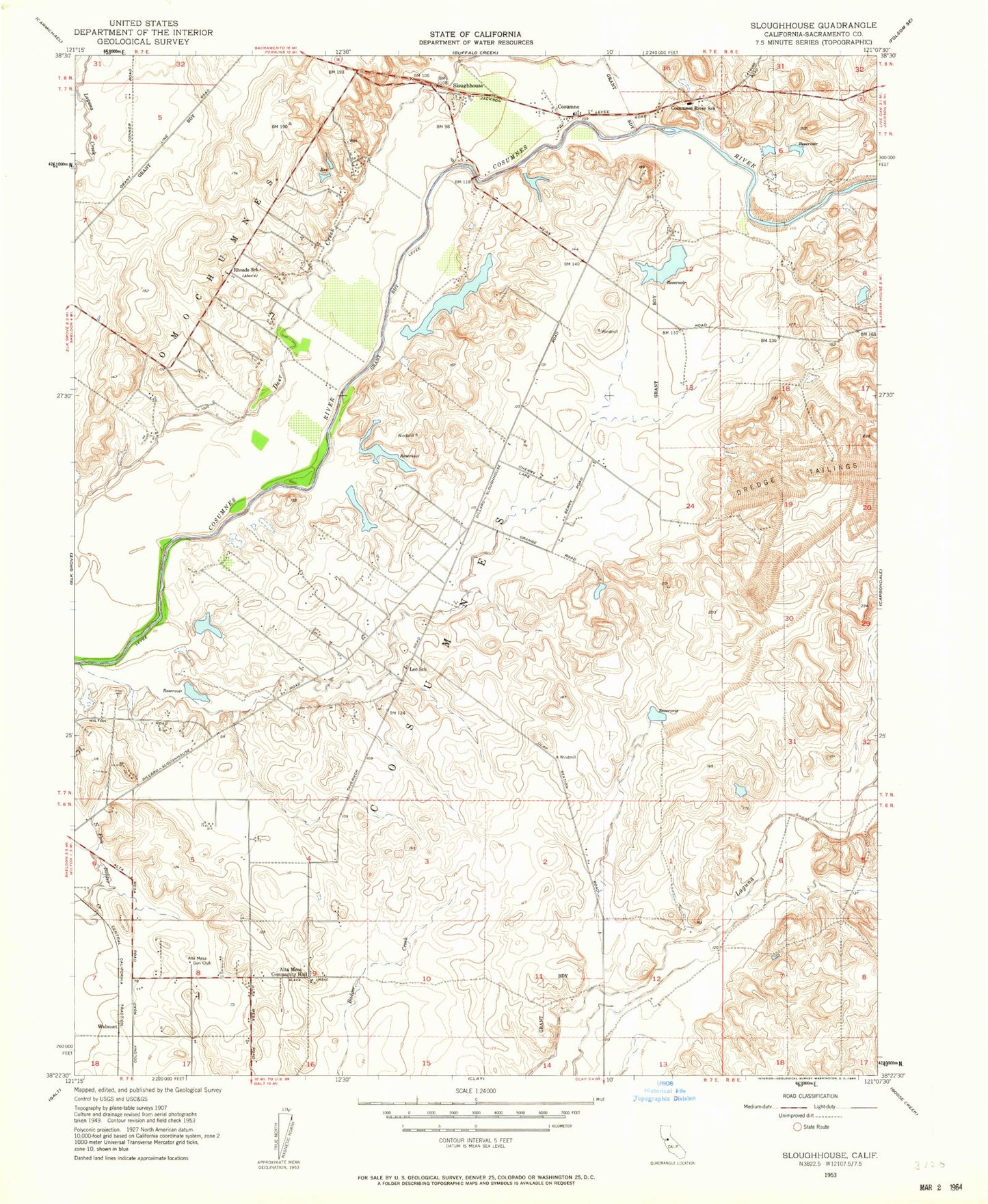
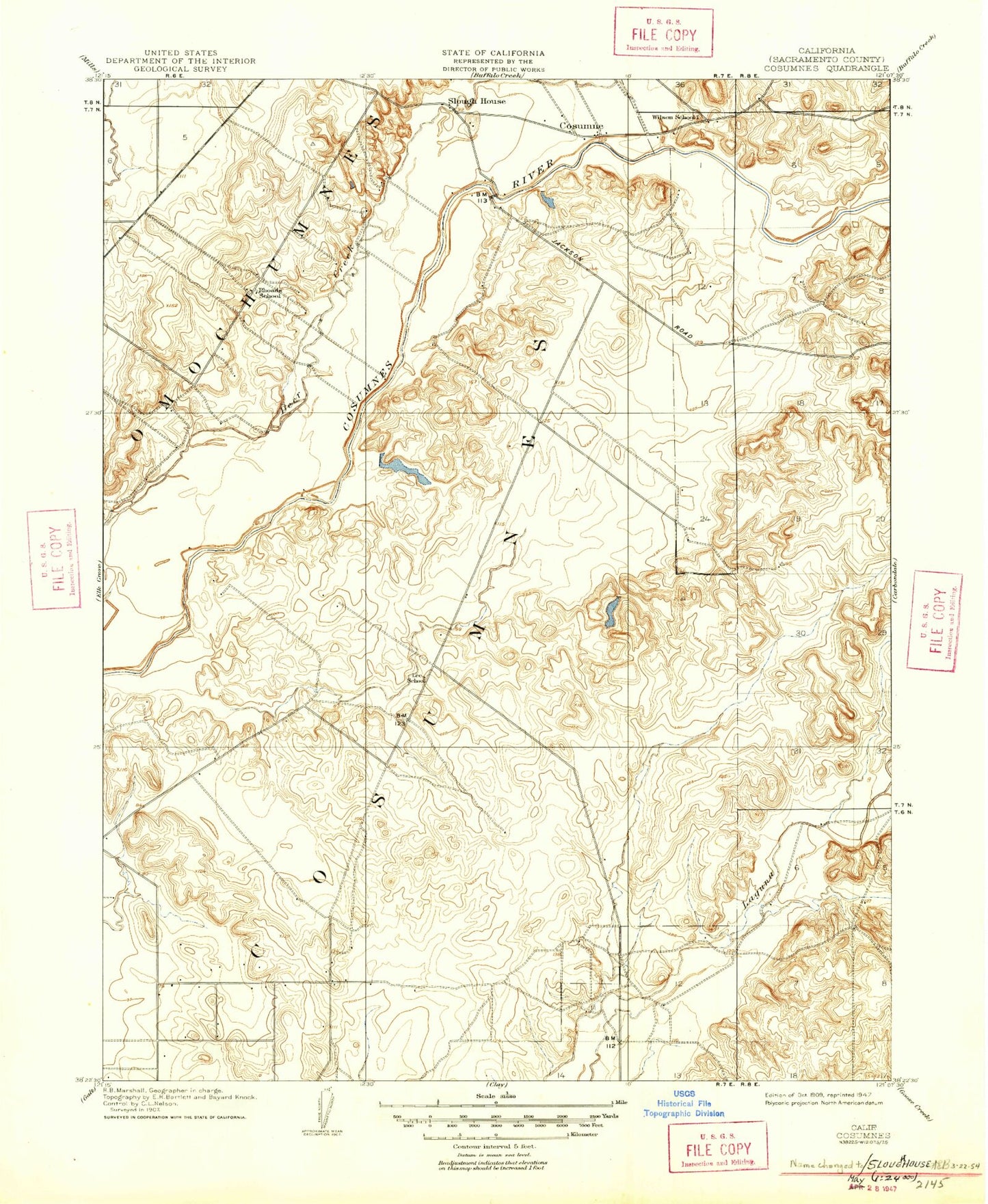
Classic USGS Sloughhouse California 7.5'x7.5' Topo Map
Couldn't load pickup availability
Historical USGS topographic quad map of Sloughhouse in the state of California. Map scale may vary for some years, but is generally around 1:24,000. Print size is approximately 24" x 27"
This quadrangle is in the following counties: Sacramento.
The map contains contour lines, roads, rivers, towns, and lakes. Printed on high-quality waterproof paper with UV fade-resistant inks, and shipped rolled.
Contains the following named places: Alta Mesa Airpark, Alta Mesa Community Hall, Alta Mesa Gun Club, Boeckmann Ranch Airport, Cosumne, Cosumnes, Cosumnes River Elementary School, Folsom South Canal, KEBR-AM (Rocklin), KEDR-FM (Ione), KRAK-AM (Sacramento), Lee School, Lucchetti Ranch Airport, Rhoades School, Sacramento Metropolitan Fire District Station 58, Sky Way Estates Airport, Sloughhouse, Walmort, Wilson School, Wilton Census Designated Place, Wilton Fire Protection District Station 83, ZIP Code: 95693