MyTopo
Classic USGS Slovak Arkansas 7.5'x7.5' Topo Map
Couldn't load pickup availability
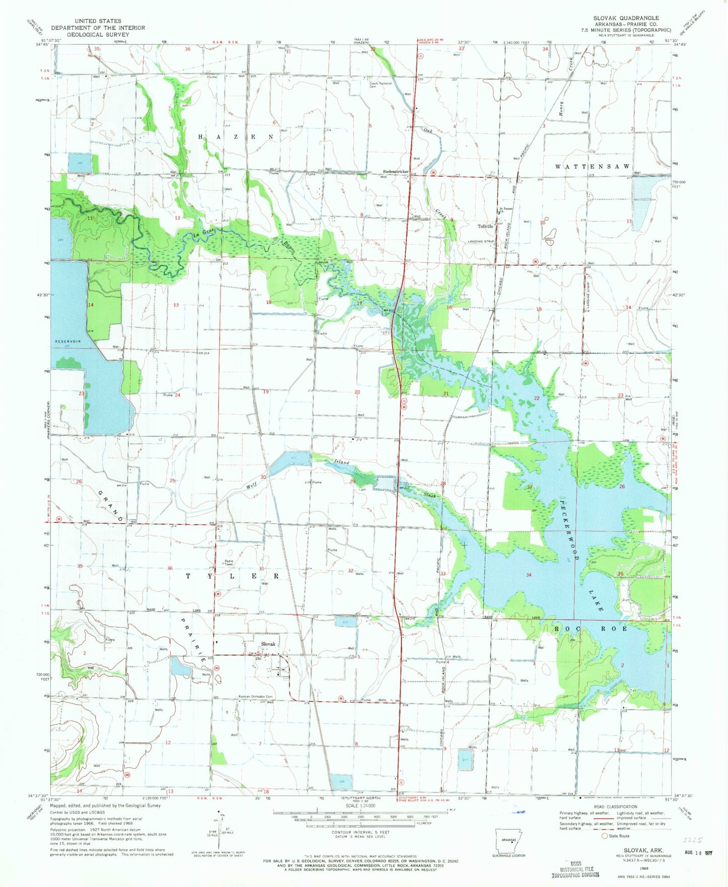
Historical USGS topographic quad map of Slovak in the state of Arkansas. Map scale may vary for some years, but is generally around 1:24,000. Print size is approximately 24" x 27"
This quadrangle is in the following counties: Prairie.
The map contains contour lines, roads, rivers, towns, and lakes. Printed on high-quality waterproof paper with UV fade-resistant inks, and shipped rolled.
Contains the following named places: Balle, Czech National Cemetery, Fisher School, Hartz Reservoir, Hartz Reservoir Dam, Kreger School, La Grue, Nahay, Oak Creek, Peckerwood Lake, Russian Orthodox Cemetery, Saint Peters Church, Siedenstricker, Skarda/Tollville Airport, Skorda School, Slovak, Slovak Volunteer Fire Department, Slovaktown, Spear, Thomas Reservoir Number 2, Tollville, Tollville Volunteer Fire Department, Township of Tyler, Veits, Wolf Island Slash