MyTopo
Classic USGS Small Point Maine 7.5'x7.5' Topo Map
Couldn't load pickup availability
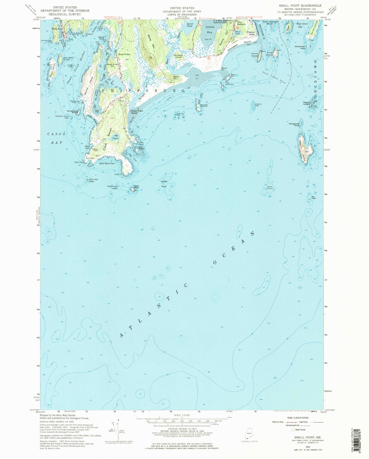
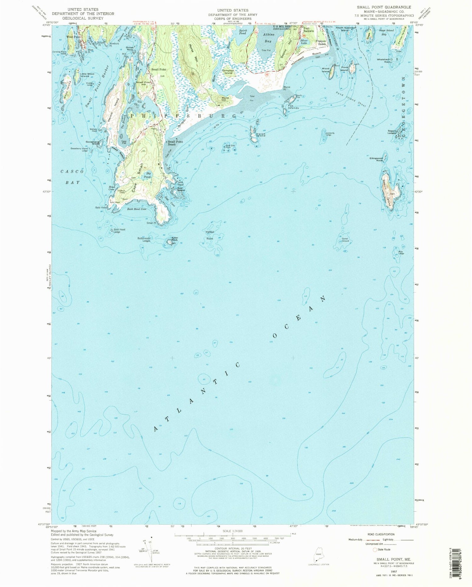
Historical USGS topographic quad map of Small Point in the state of Maine. Typical map scale is 1:24,000, but may vary for certain years, if available. Print size: 24" x 27"
This quadrangle is in the following counties: Sagadahoc.
The map contains contour lines, roads, rivers, towns, and lakes. Printed on high-quality waterproof paper with UV fade-resistant inks, and shipped rolled.
Contains the following named places: Bald Head, Bald Head Cove, Bald Head Ledge, Cape Small Pond, Bold Dick Rock, Buttonmold Ledges, Camel Ground, Campbell Island, Cape Small, Cape Small Harbor, Carrying Place Cove, Carrying Place Head, Ellingwood Rock, Fish House Cove, Flat Point, Fort Baldwin, Fox Islands, Fuller Rock, Goose Rock, Gooseberry Island, Gooseberry Island Ledge, Halibut Rocks, Head Beach, Head Cove, Hermit Island, Heron Island, Isiah Head, Jackknife Ledge, Kennebec River, Little Wood Island, Middle Ledge, Mile Ledge, Mill Point, Morse Hill, Morse Mountain, Morse Point, Morse River, Newbury Point, Pond Island, Pond Island Shoal, Popham Beach, Sabino Hill, Salter Island, Seal Cove, Seal Island, Seguin Island, Seguin Ledges, Silver Lake, Sister Point, Small Point, Small Point Beach, Small Point Harbor, Small Point Hill, South Sugarloaf Island, Spirit Pond, Sprague River, Stage Island, Stage Island Bay, The Branch, Wallace Head, West Point, West Point, Whaleback Rock, Wood Island, Wood Island, Bigelow Bight, Small Point, Big Pond, Haskell Hill, Spoonbowl Ledge, Hunnewell Beach, Bill Wallace Ground, Pitchpine Ledges, Sequin South Southwest Ledge, White Ledge, Wood Island South Ledge, Town of Phippsburg, Fuller Rock Lighthouse, Hermit Island Campground, Morses Mountain Sanctuary, Ocean View Park Campground, Pond Island Light, Popham Beach State Park, Seguin Island Light Station, Small Point Yacht Club, Wallace Cemetery, Pond Island National Wildlife Refuge


