MyTopo
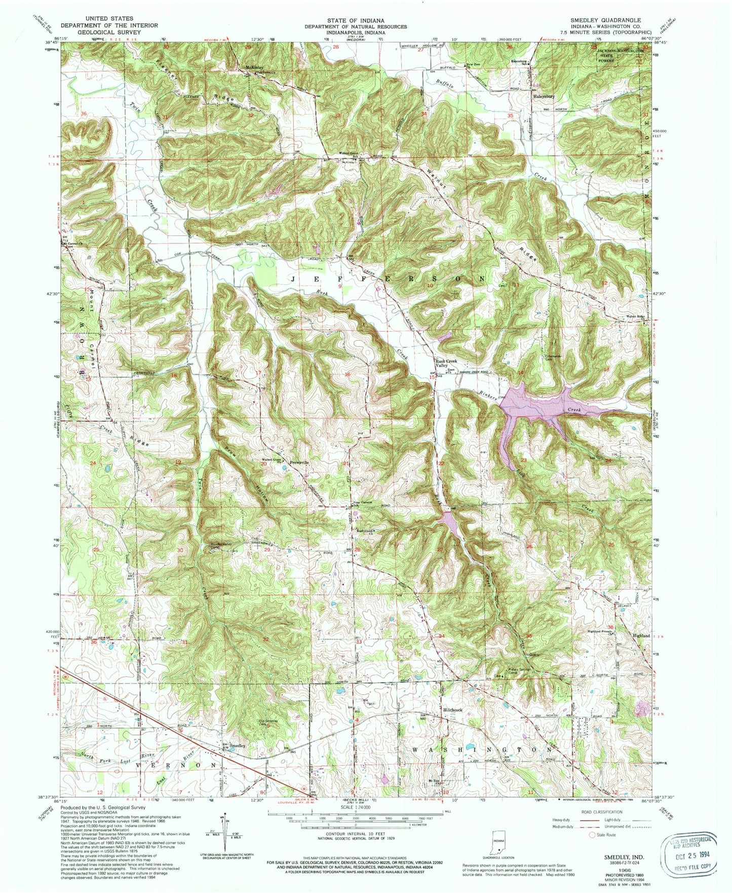
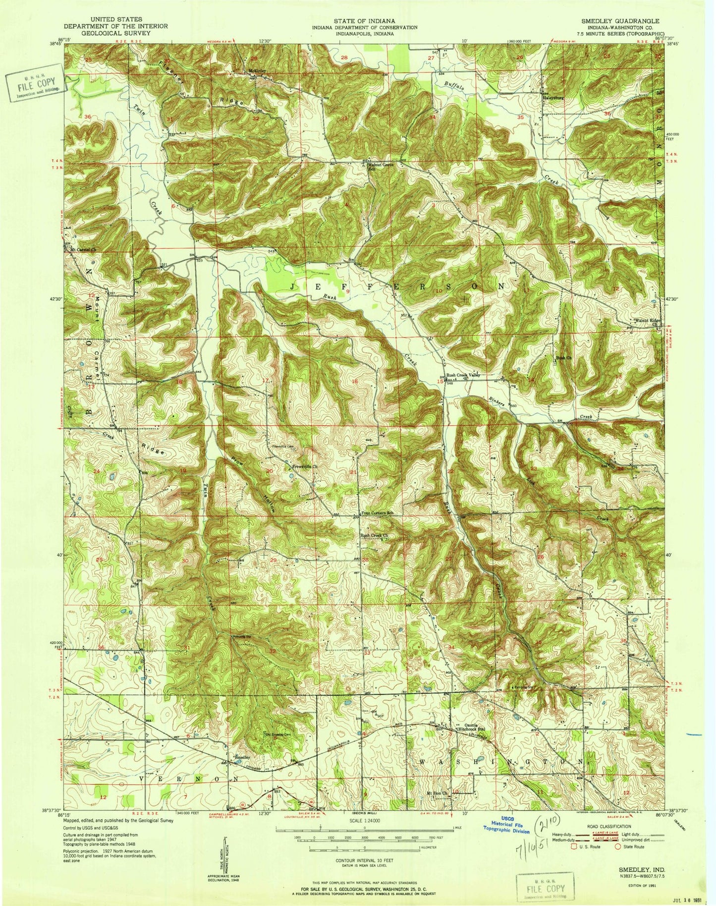
Classic USGS Smedley Indiana 7.5'x7.5' Topo Map
Couldn't load pickup availability
Historical USGS topographic quad map of Smedley in the state of Indiana. Map scale may vary for some years, but is generally around 1:24,000. Print size is approximately 24" x 27"
This quadrangle is in the following counties: Washington.
The map contains contour lines, roads, rivers, towns, and lakes. Printed on high-quality waterproof paper with UV fade-resistant inks, and shipped rolled.
Contains the following named places: Covenanter Cemetery, Enon Church, Fleener Ridge, Four Corners School, Haleysburg School, Haleysbury, Hamilton Cemetery, Highland, Highland Friends Church, Hitchcock, John Hays Lake, Lick Creek, McKinley, Mount Carmel, Mount Carmel Church, Mount Carmel Ridge, Mount Eden Church, Mount Zion Church, New Philadelphia Cemetery, New Zion Church, Oak Grove Church, Old Smedley Cemetery, Oxonia Post Office, Prow Hollow, Prowsville, Rinkers Creek, Rotary Springs Camp, Rush Creek, Rush Creek Church, Rush Creek Valley, Smedley, Stone Poultry Farms, Township of Jefferson, Walnut Grove Church, Walnut Grove School, Walnut Ridge, Walnut Ridge Church, Washington County Landfill, Wonder Valley Camp, ZIP Code: 47108