MyTopo
Classic USGS Smelter Knolls East Utah 7.5'x7.5' Topo Map
Regular price
$16.95
Regular price
Sale price
$16.95
Unit price
per
Couldn't load pickup availability
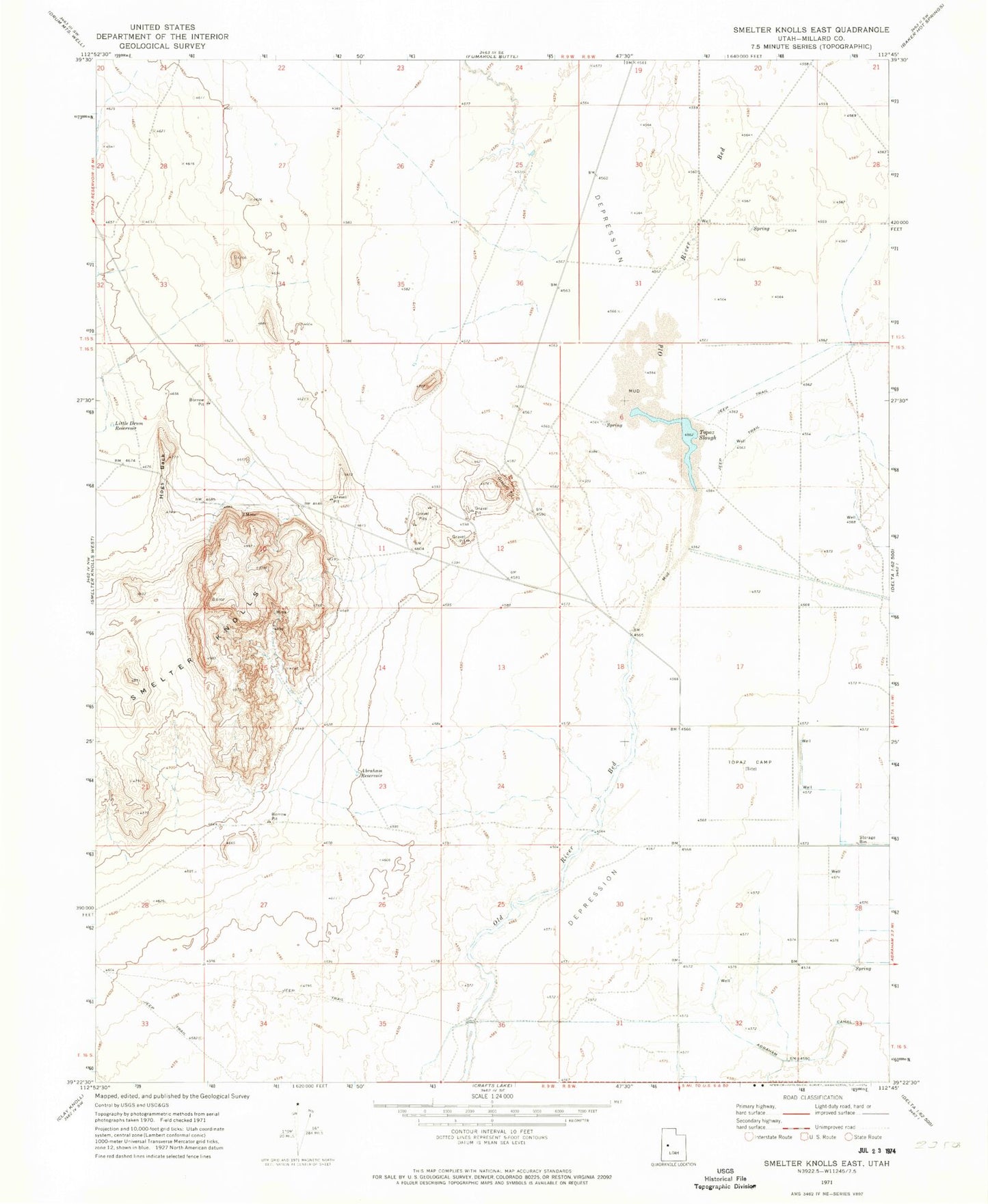
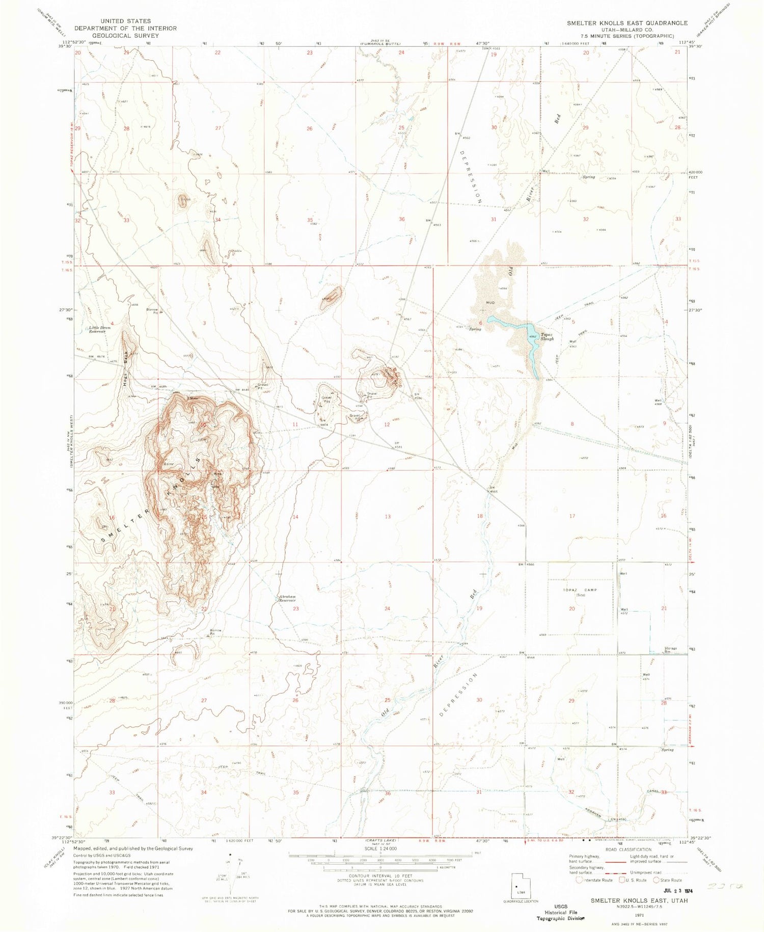
Historical USGS topographic quad map of Smelter Knolls East in the state of Utah. Map scale may vary for some years, but is generally around 1:24,000. Print size is approximately 24" x 27"
This quadrangle is in the following counties: Millard.
The map contains contour lines, roads, rivers, towns, and lakes. Printed on high-quality waterproof paper with UV fade-resistant inks, and shipped rolled.
Contains the following named places: Abraham Reservoir, Central Utah Relocation Center, Hogs Back, Little Drum Reservoir, Smelter Knolls, Topaz Marsh Waterfowl Management Area, Topaz Slough, Topaz Slough Conservation Area