MyTopo
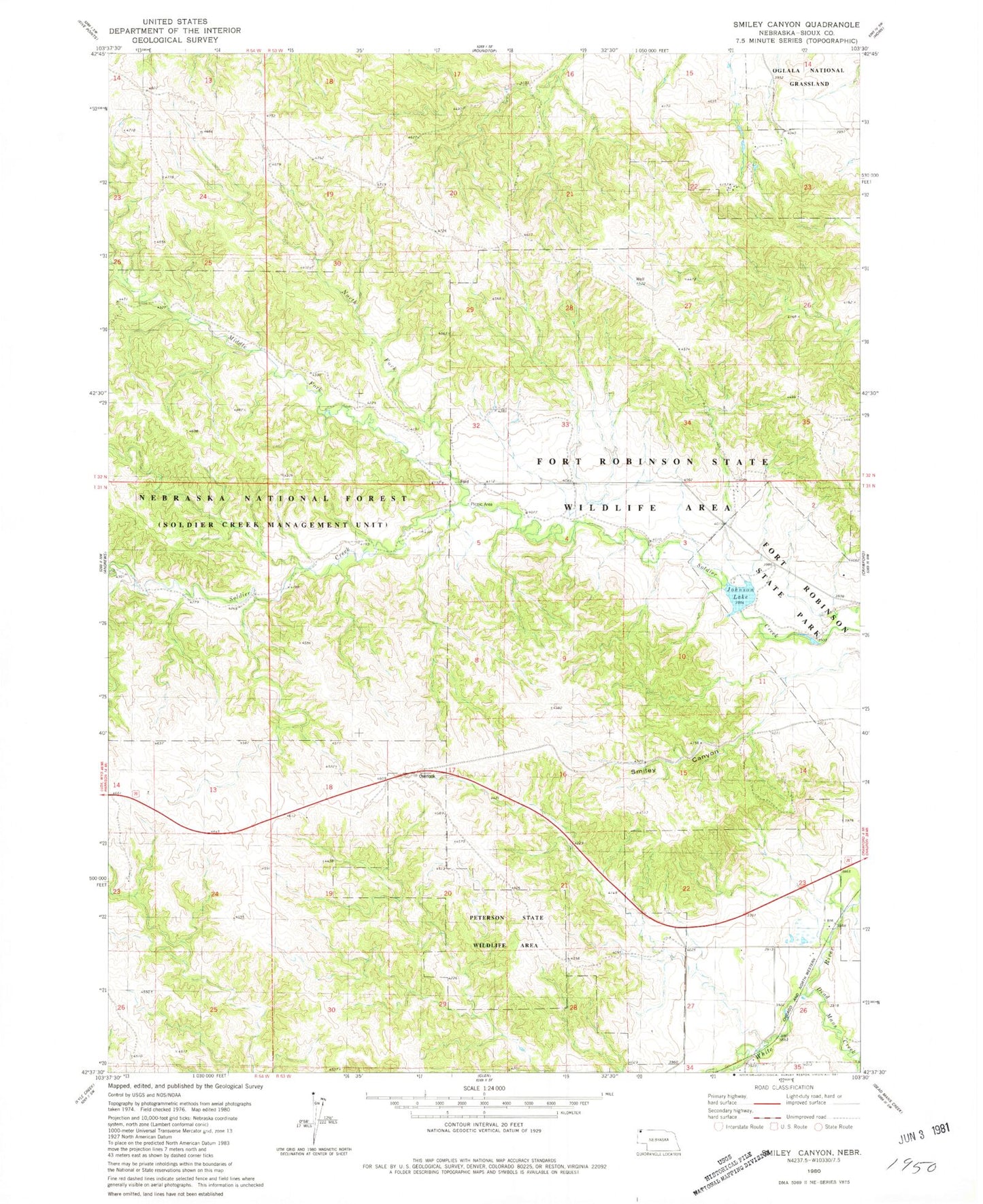
Classic USGS Smiley Canyon Nebraska 7.5'x7.5' Topo Map
Couldn't load pickup availability
Historical USGS topographic quad map of Smiley Canyon in the state of Nebraska. Typical map scale is 1:24,000, but may vary for certain years, if available. Print size: 24" x 27"
This quadrangle is in the following counties: Sioux.
The map contains contour lines, roads, rivers, towns, and lakes. Printed on high-quality waterproof paper with UV fade-resistant inks, and shipped rolled.
Contains the following named places: Dead Mans Creek, Fort Robinson State Park, Fort Robinson Wildlife Area, Middle Fork Soldier Creek, North Fork Soldier Creek, Peterson State Special Use Area, Smiley Canyon, Trooper Trail, Soldier Creek Trailhead, Boots and Saddle Trail, Soldier Creek Wilderness, Boardgate Dam, Dunlap Dam, Dunlap Reservoir, Carter P Johnson Dam, Carter P Johnson Reservoir