MyTopo
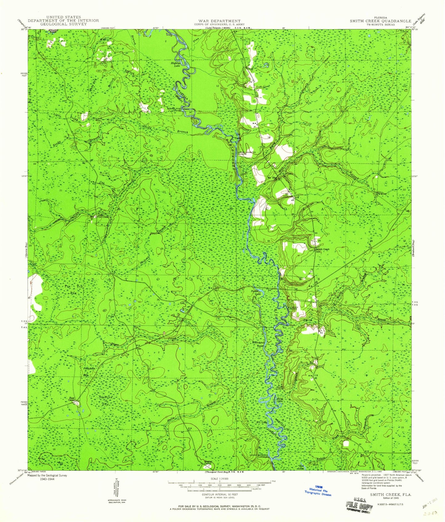
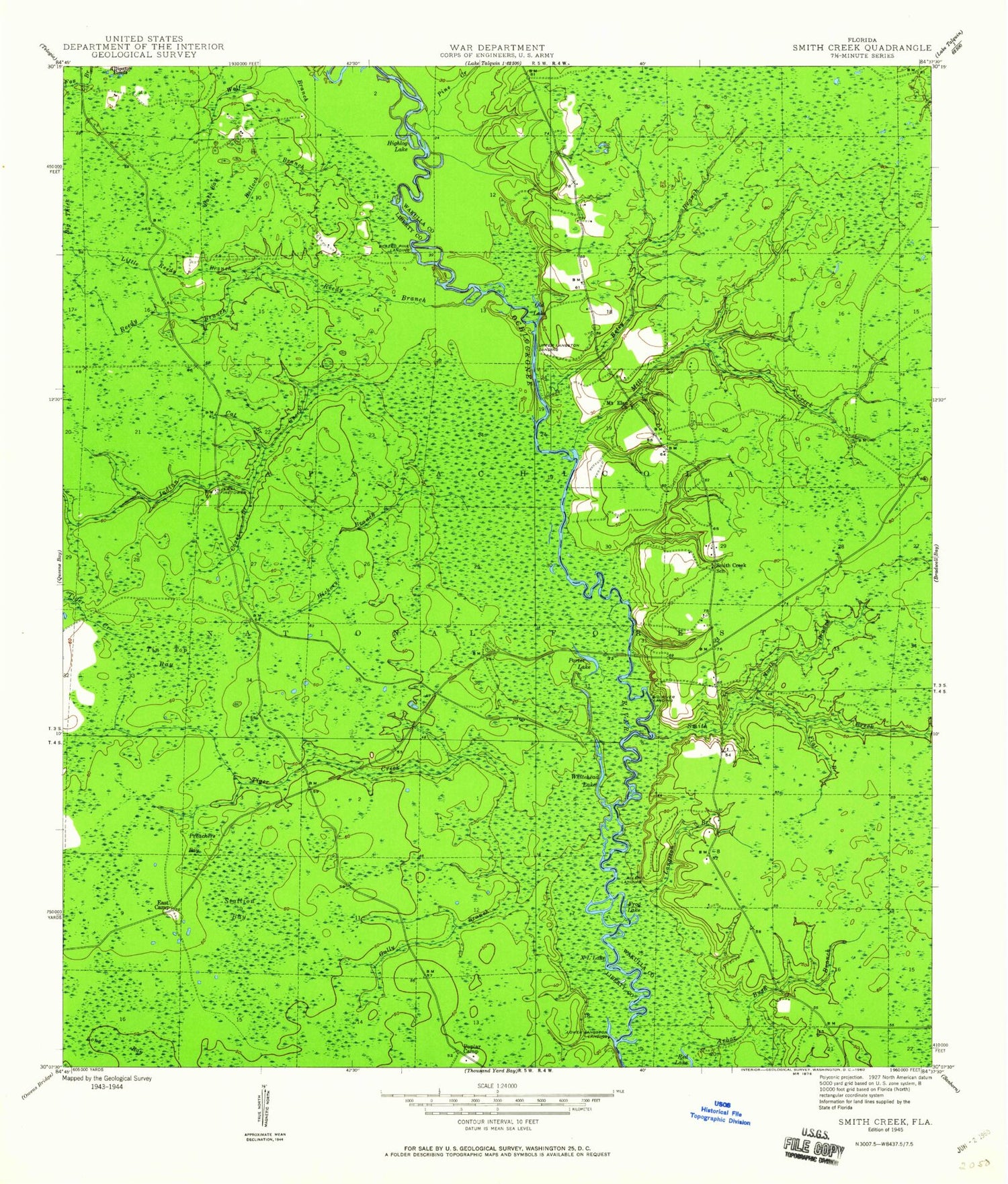
Classic USGS Smith Creek Florida 7.5'x7.5' Topo Map
Couldn't load pickup availability
Historical USGS topographic quad map of Smith Creek in the state of Florida. Map scale may vary for some years, but is generally around 1:24,000. Print size is approximately 24" x 27"
This quadrangle is in the following counties: Liberty, Wakulla.
The map contains contour lines, roads, rivers, towns, and lakes. Printed on high-quality waterproof paper with UV fade-resistant inks, and shipped rolled.
Contains the following named places: Allen Landing, Alligator Ponds, Apalachicola National Forest, Apalachicola Trail, Apalachicola Wildlife Management Area, Betsy Branch, Big River Landing, Blazed Pine Landing, Buck Bay, Bulloch Branch, Cat Branch, Coxes Branch, East Camp, Flat Branch, Frog Lake, Gully Branch, Hickory Branch, Highlog Lake, Indian Creek, Jewel Fire Tower, Langston Branch, Little Reedy Branch, Lower Langston Landing, Mill Creek, Mount Elan Church, North Branch Smith Creek, Old Lake, Pine Creek, Pine Creek Landing Campground, Poplar Camp, Porter Lake, Porter Lake Campground, Preachers Bay, Reedy Branch, Smith Creek, Smith Creek School, Smith Creek Volunteer Fire Department Station 9, Stallion Bay, Tama, Tiger Creek, Tin Top Bay, Upper Langston Landing, Wethocouchy, Whitehead Lake, Whitehead Lake Campground, Wolf Branch, X L Lake