MyTopo
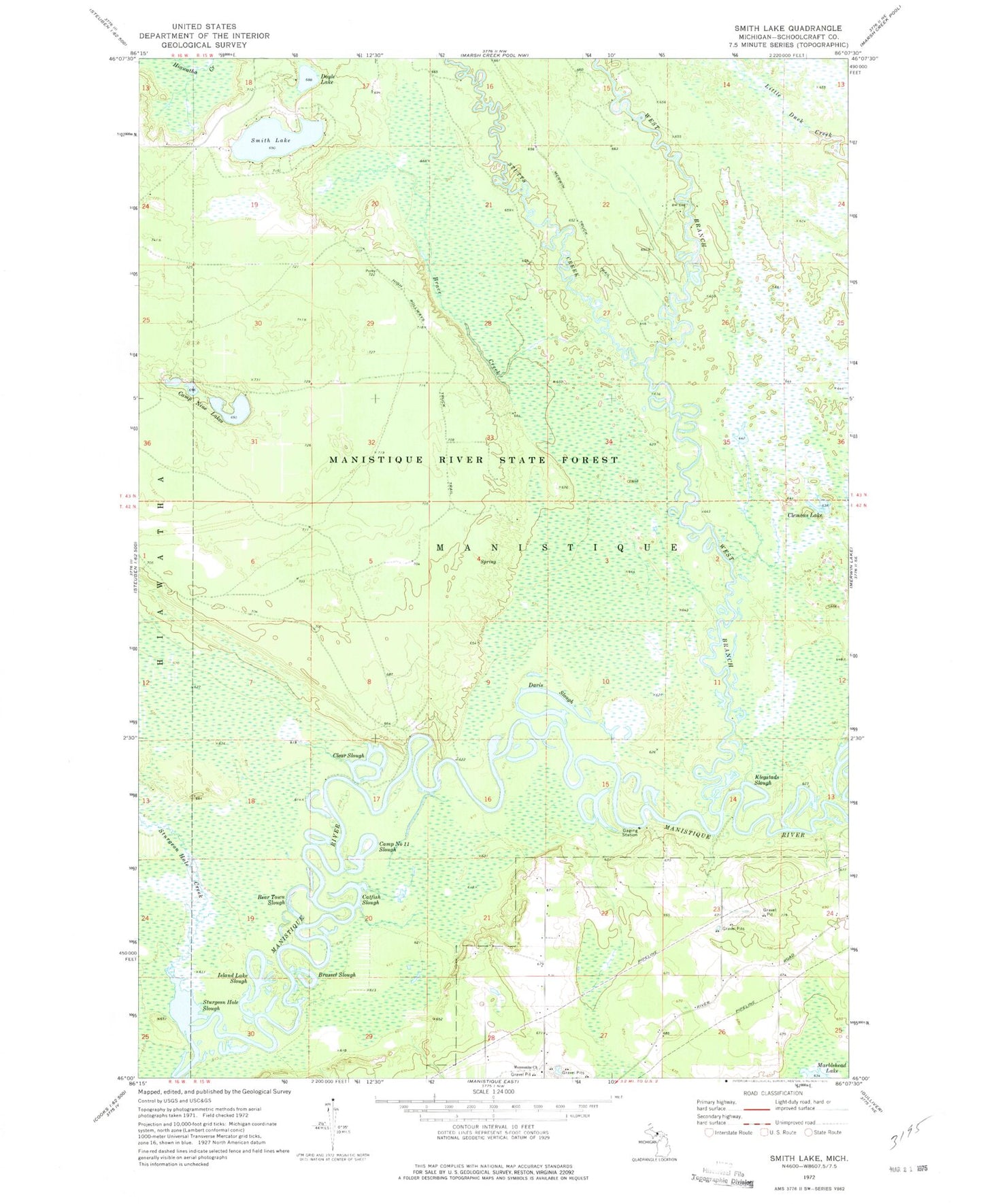
Classic USGS Smith Lake Michigan 7.5'x7.5' Topo Map
Couldn't load pickup availability
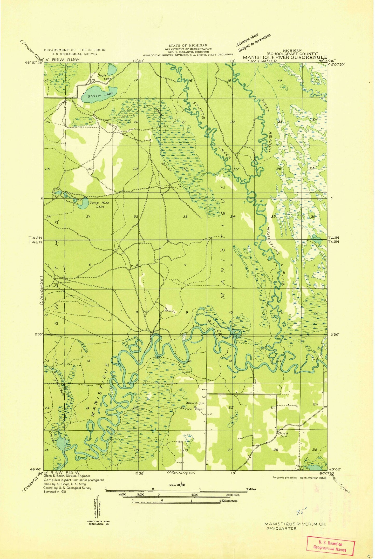
Historical USGS topographic quad map of Smith Lake in the state of Michigan. Map scale may vary for some years, but is generally around 1:24,000. Print size is approximately 24" x 27"
This quadrangle is in the following counties: Schoolcraft.
The map contains contour lines, roads, rivers, towns, and lakes. Printed on high-quality waterproof paper with UV fade-resistant inks, and shipped rolled.
Contains the following named places: Bear Town Slough, Brace Creek, Brassel Slough, Camp Nine Lakes, Camp Number 11 Slough, Catfish Slough, Cedar Grove Mennonite Church, Clear Slough, Clemons Lake, Davis Slough, Doyle Lake, High Rollways Truck Trail, Island Lake Slough, Klegstads Slough, Schoolcraft County, Smith Lake, Sturgeon Hole Creek, Sturgeon Hole Slough, Stutts Creek, West Branch Manistique River