MyTopo
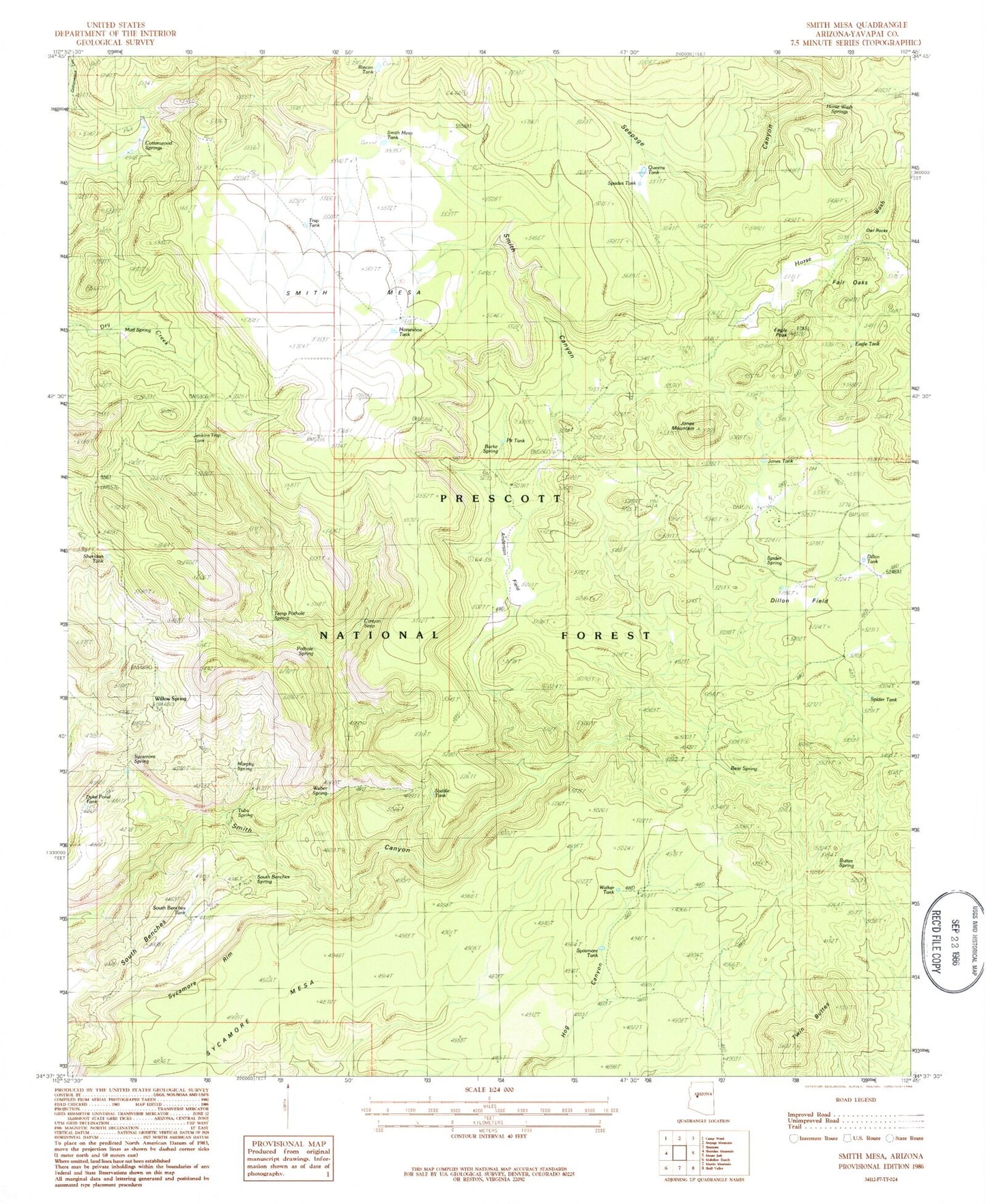
Classic USGS Smith Mesa Arizona 7.5'x7.5' Topo Map
Couldn't load pickup availability
Historical USGS topographic quad map of Smith Mesa in the state of Arizona. Map scale may vary for some years, but is generally around 1:24,000. Print size is approximately 24" x 27"
This quadrangle is in the following counties: Yavapai.
The map contains contour lines, roads, rivers, towns, and lakes. Printed on high-quality waterproof paper with UV fade-resistant inks, and shipped rolled.
Contains the following named places: Anderson Field, Bear Spring, Bull Spring, Burke Spring, Buttes Spring, Canyon Seep, Cedar Salt Ground, Cottonwood Springs, Cowboy Corral, Deer Spring, Dillon Field, Dillon Tank, Dry Creek Corral, Dumbbell Ranch, Dumbell Spring, Dyke Pond Tank, Eagle Peak, Eagle Tank, Elbow Spring, Fair Oaks, Horse Wash Springs, Horseshoe Tank, Jenkins Trap Spring, Jenkins Trap Tank, Jones Mountain, Jones Tank, Mud Spring, Murphy Spring, North Benches Corral, Owl Rocks, Pothole Spring, Prescott Division, Queens Tank, Rincon Tank, Saddle Tank, Seepage Canyon, Sheridan Tank, Smith Canyon Corral, Smith Mesa, Smith Mesa Corral, Smith Mesa Tank, South Benches, South Benches Spring, South Benches Tank, Spades Tank, Spider Ranch, Spider Spring, Spider Tank, Sycamore Dam, Sycamore Mesa, Sycamore Rim, Sycamore Spring, Sycamore Tank, Temp Pothole Spring, Trap Tank, Tub Spring, Tubs Spring, Twin Buttes, Walker Tank, Weber Canyon, Weber Spring, Willow Spring


