MyTopo
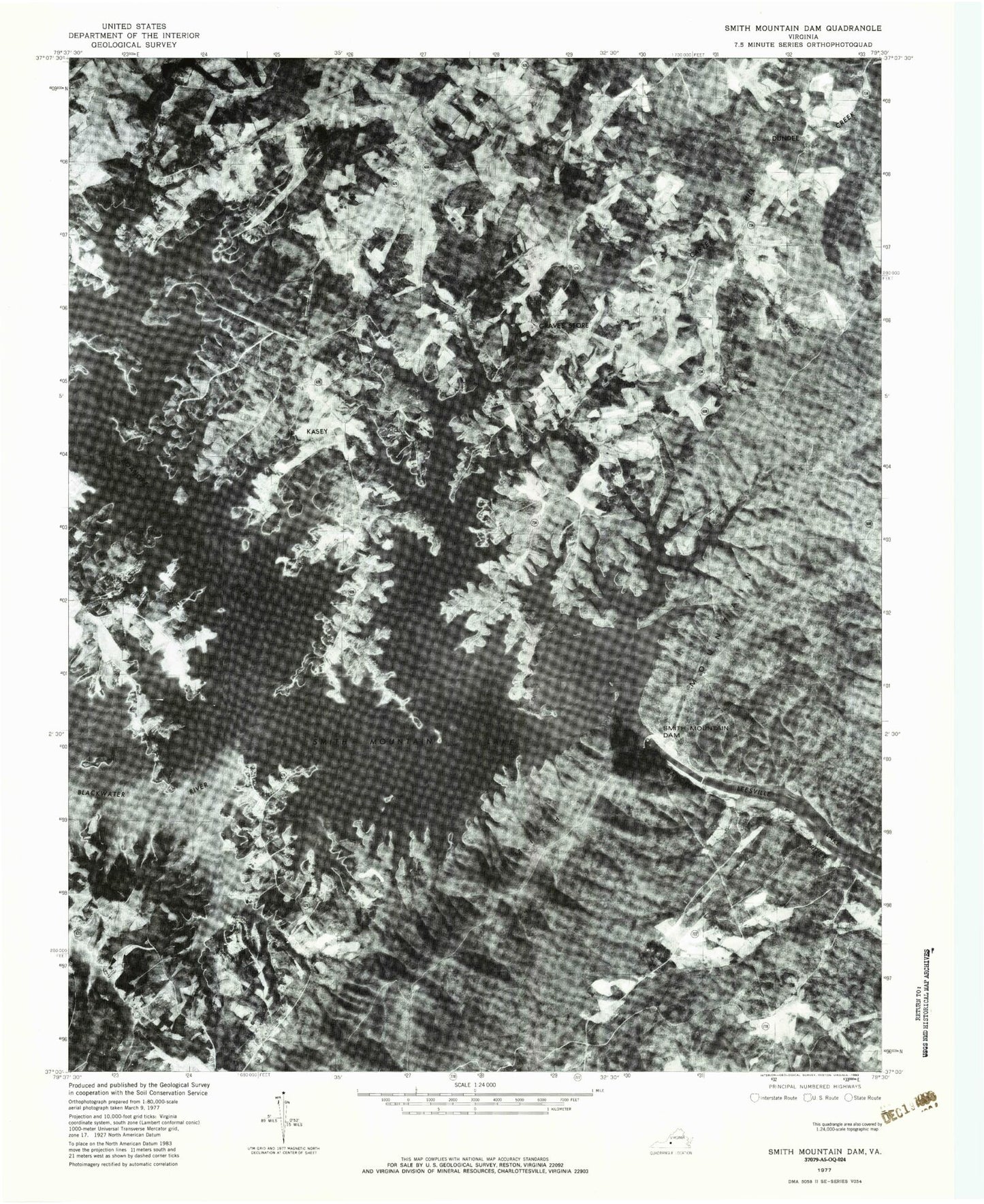
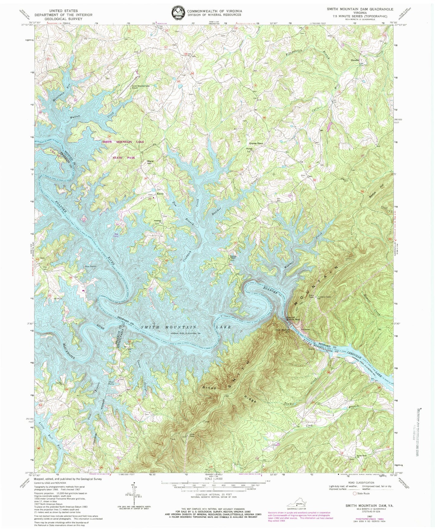
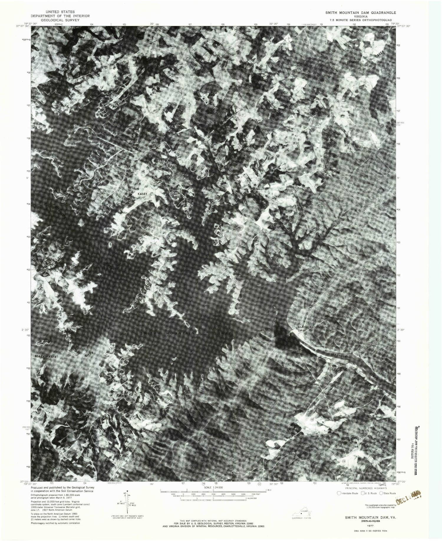
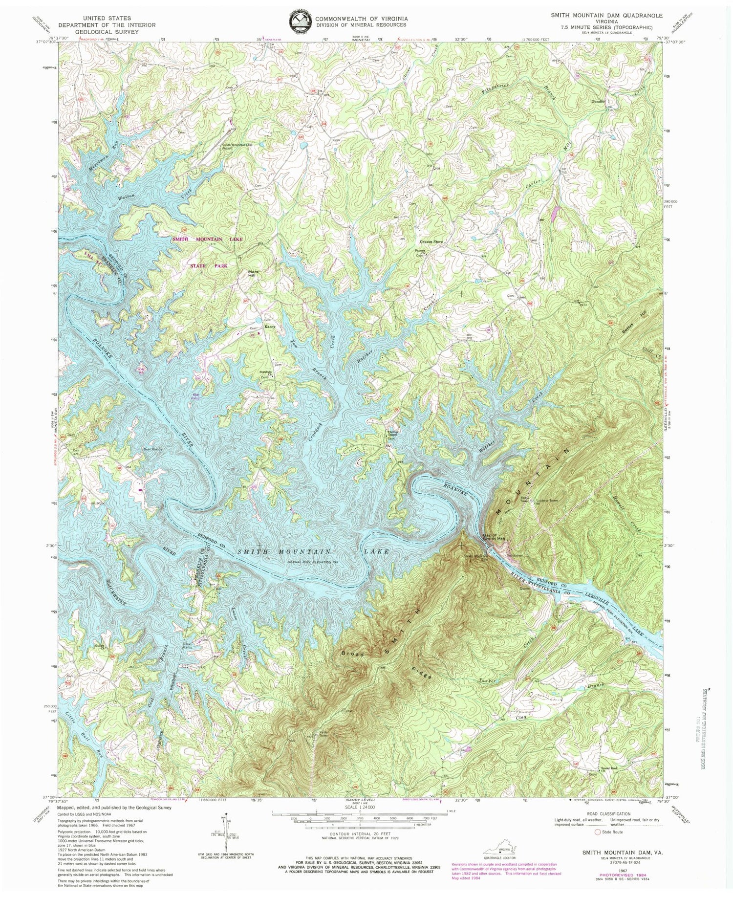
Classic USGS Smith Mountain Dam Virginia 7.5'x7.5' Topo Map
Couldn't load pickup availability
Historical USGS topographic quad map of Smith Mountain Dam in the state of Virginia. Typical map scale is 1:24,000, but may vary for certain years, if available. Print size: 24" x 27"
This quadrangle is in the following counties: Bedford, Franklin, Pittsylvania.
The map contains contour lines, roads, rivers, towns, and lakes. Printed on high-quality waterproof paper with UV fade-resistant inks, and shipped rolled.
Contains the following named places: Blackwater River, Broad Ridge, Cool Branch, Craddock Creek, Fitzpatrick Branch, Galilee Church, Gap of Smith Mountain, Graves Store, Hatcher Creek, Louse Creek, Merriman Run, Patmos Church, Round Pond Church, Staunton Church, Tanker Creek, Thomas Chapel, Tom Branch, Walton Creek, Witcher Creek, Bernards Landing, Mount Zion Church (historical), McField Branch, Lockerman Seaplane Base, Smith Mountain Lake Airport, Lakeview Aerodrome, Red Birds Airyard, Bettys Hill, Dundee, Kasey, Mars Hill, Smith Mountain, Smith Mountain Dam, Smith Mountain Dam, Anthonys Ford, Anthony Ford Bridge (historical), Beacon Marina, Deerwood Ford, Eagles Roost, Gross Point, Lake Haven, Otter View (historical), Patmos School (historical), Saunders Marina, Shallow Ford, Smith Mountain Lake State Park, Smith Mountain Lookout Tower, Staunton Cemetery, Thomas Chapel Cemetery, Valley Mills (historical), Broad Ridge Hollow, Horseshoe Bend, Blankenship Cemetery, Mount Zion Burial Park, Parker Cemetery, Huddleston Fire Department Station 3, Huddeston Rescue Station Number 3 Squad Number 7, Saunders Volunteer Fire Department Station 2, Saunders Volunteer Fire Company 10, Brookneal Volunteer Fire Department, Brookneal Rescue Squad, Brookneal Police Department, Toney Family Cemetery, Huddleston Post Office


