MyTopo
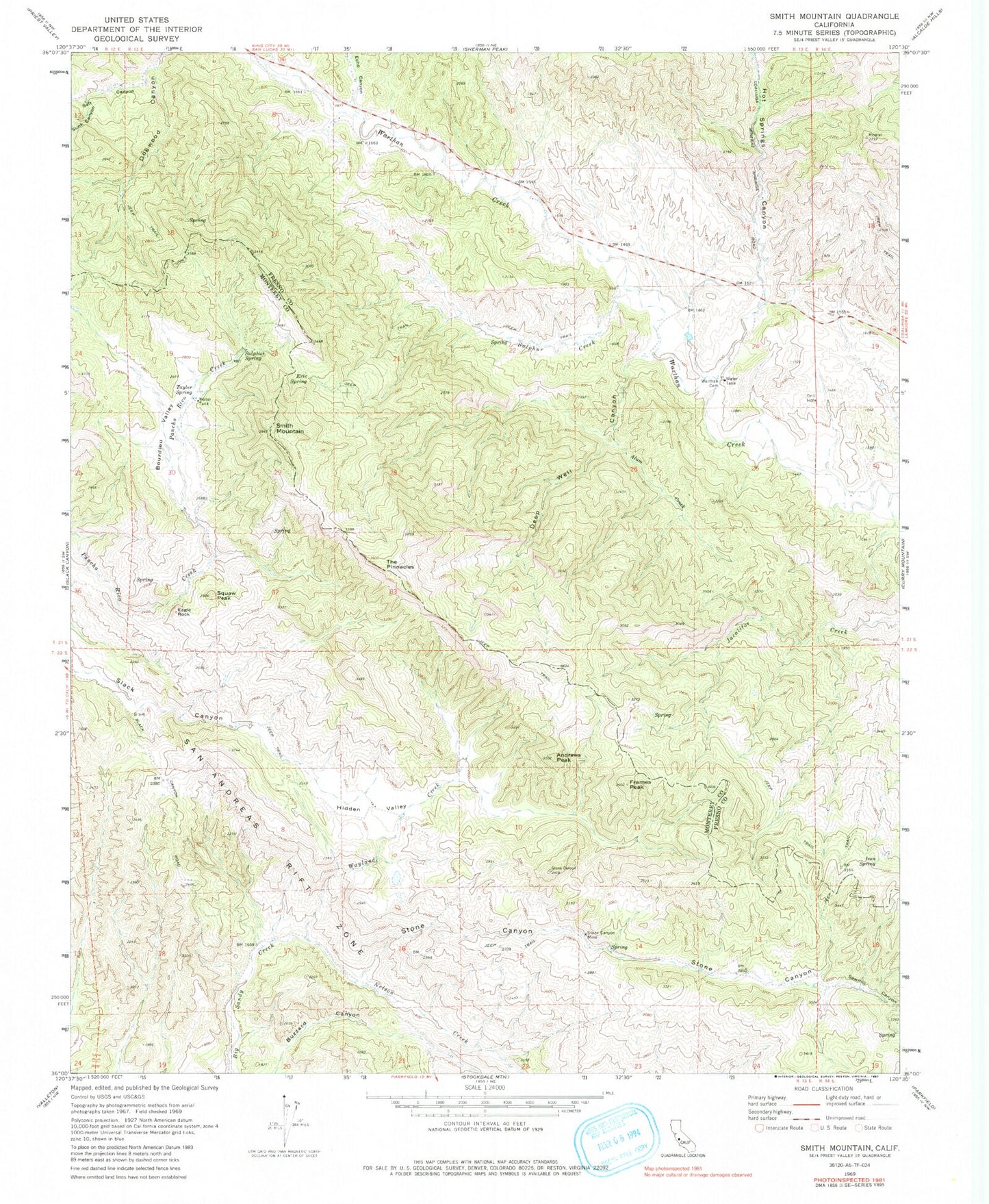
Classic USGS Smith Mountain California 7.5'x7.5' Topo Map
Couldn't load pickup availability
Historical USGS topographic quad map of Smith Mountain in the state of California. Map scale may vary for some years, but is generally around 1:24,000. Print size is approximately 24" x 27"
This quadrangle is in the following counties: Fresno, Monterey.
The map contains contour lines, roads, rivers, towns, and lakes. Printed on high-quality waterproof paper with UV fade-resistant inks, and shipped rolled.
Contains the following named places: Alum Creek, Andrews Peak, Bourdieu Valley, Deep Well Canyon, Eagle Rock, Echo Canyon, Eric Spring, Frames Peak, Hidden Valley, Hog Canyon, Hot Springs Canyon, Iron Spring, Nelson Creek, Quesada Spring, Salt Canyon, Sawmill Canyon, Smith Mountain, Squaw Peak, Stone Canyon, Stone Canyon Mine, Sulphur Creek, Sulphur Spring, Sunk Canyon, Taylor Spring, The Pinnacles, Warthan Cemetery, Wayland Creek