MyTopo
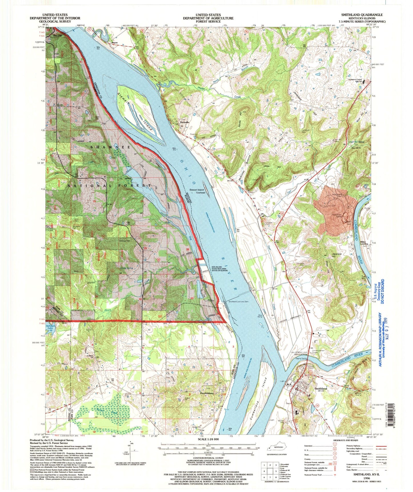
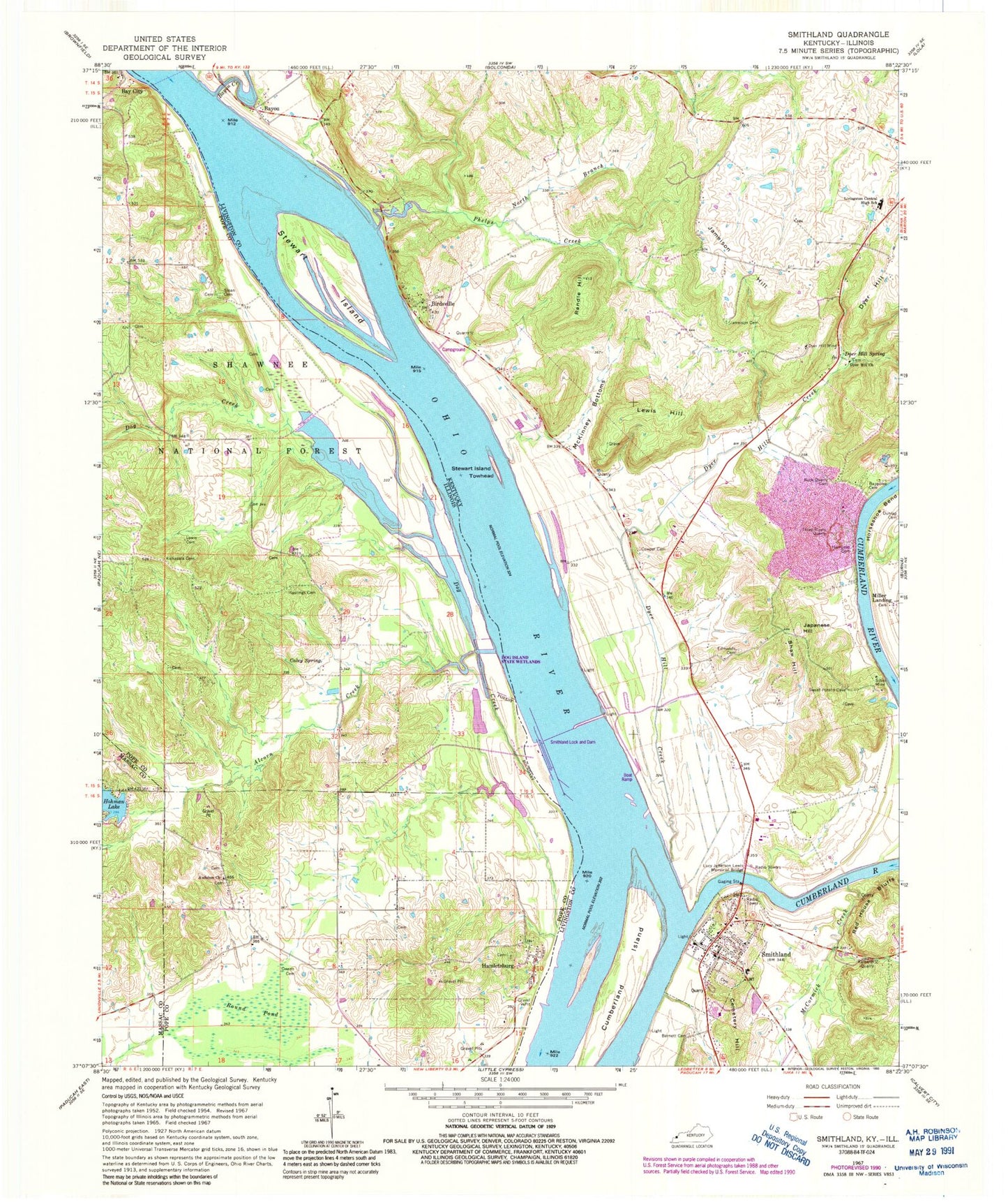
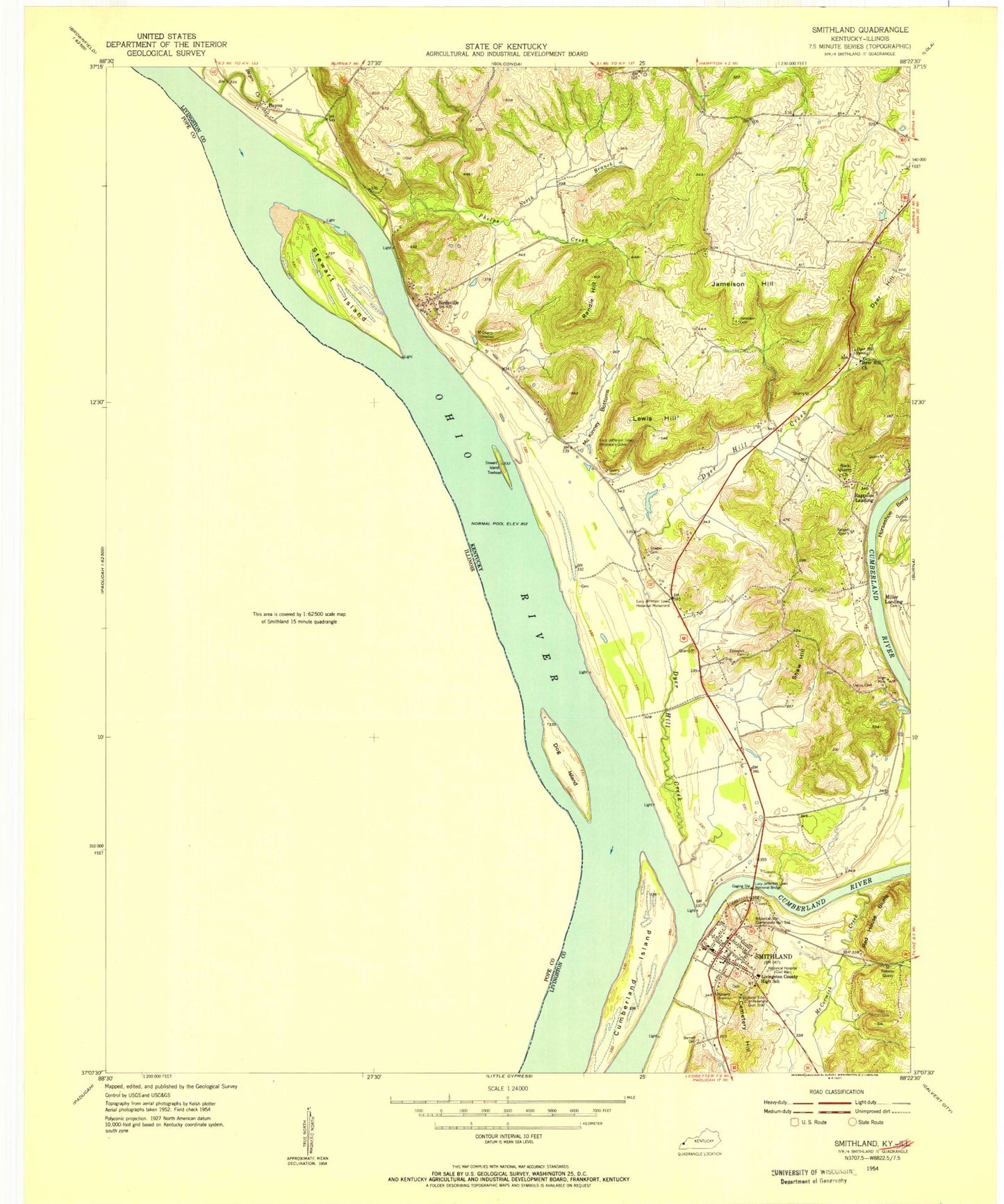
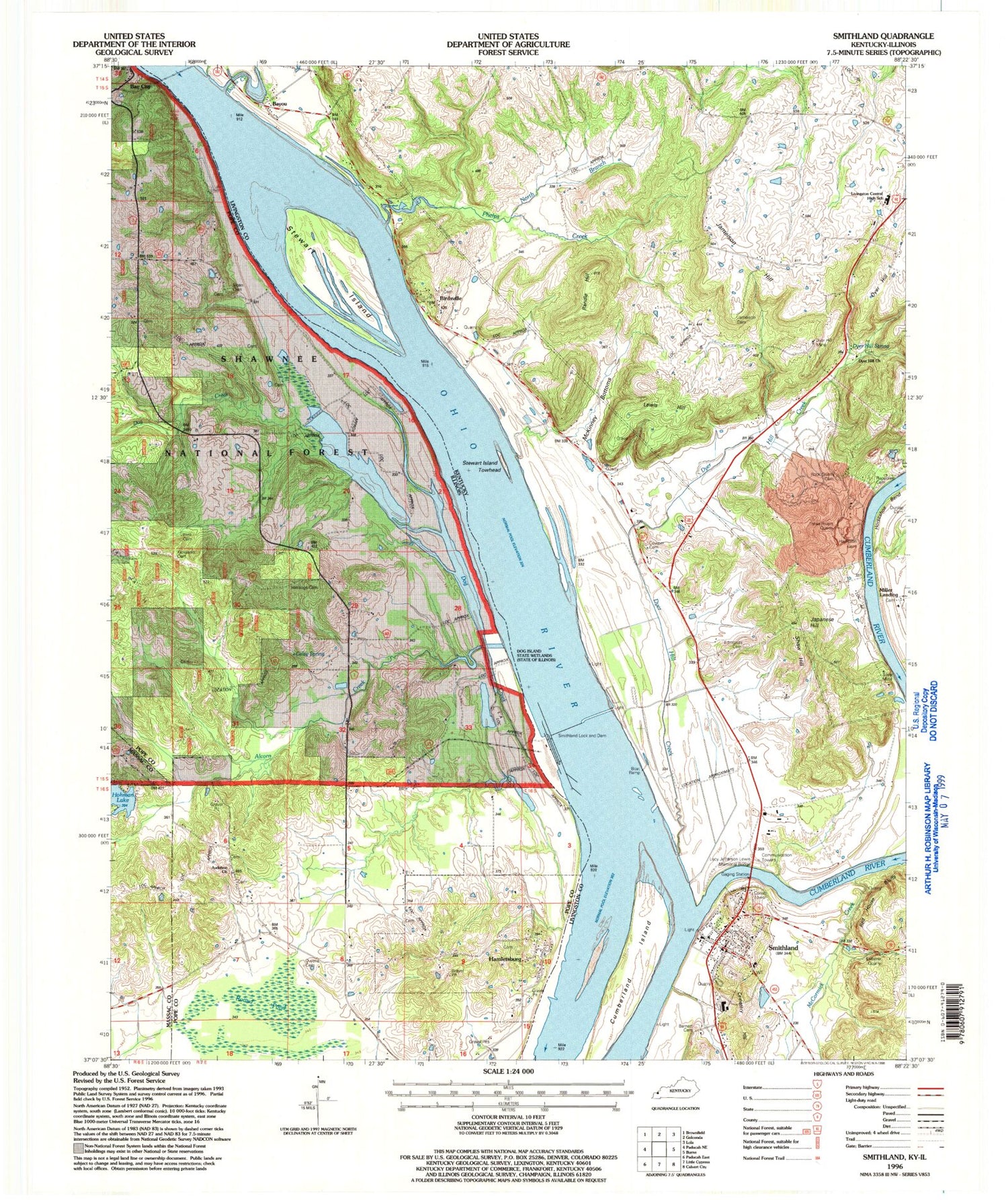
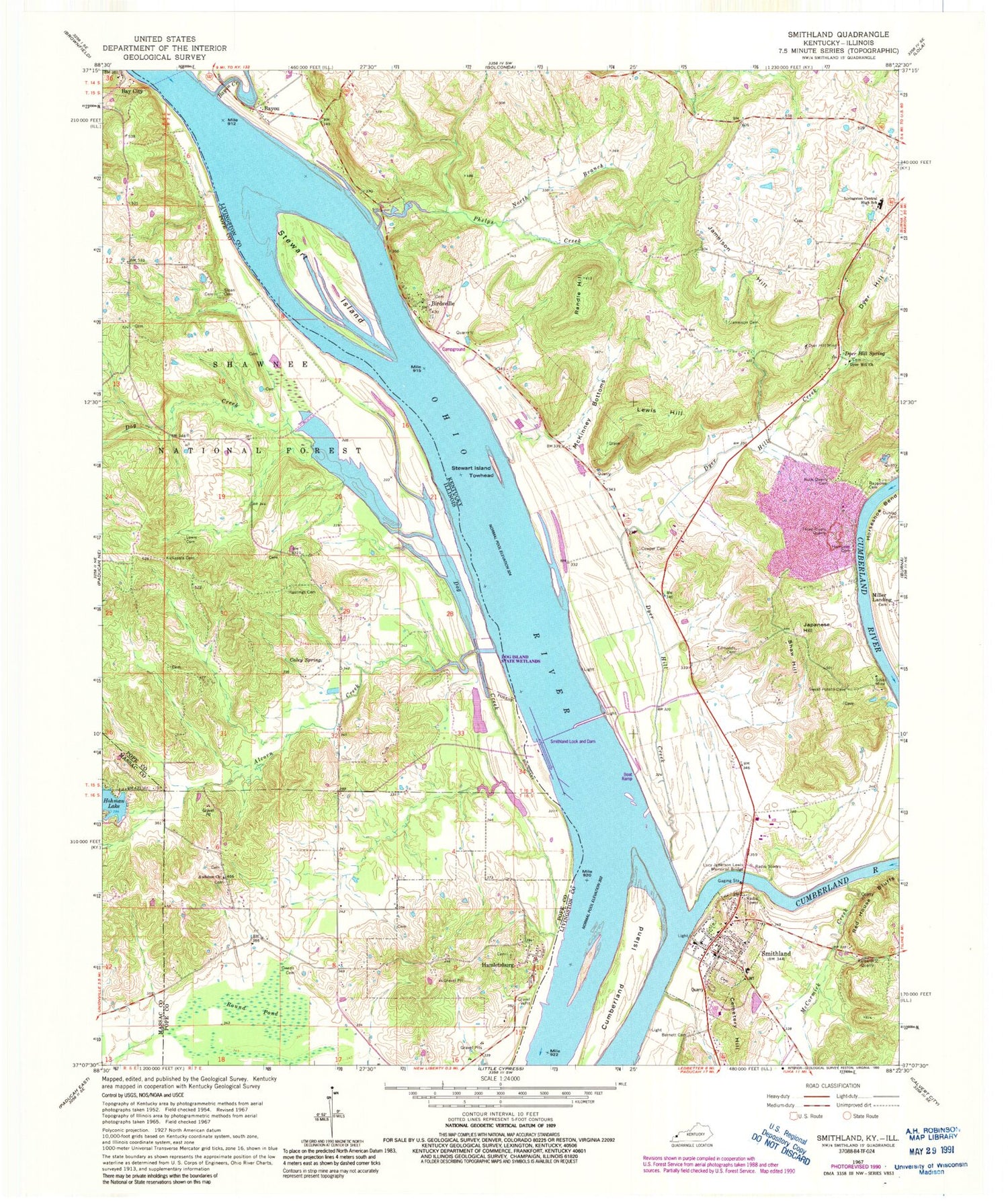
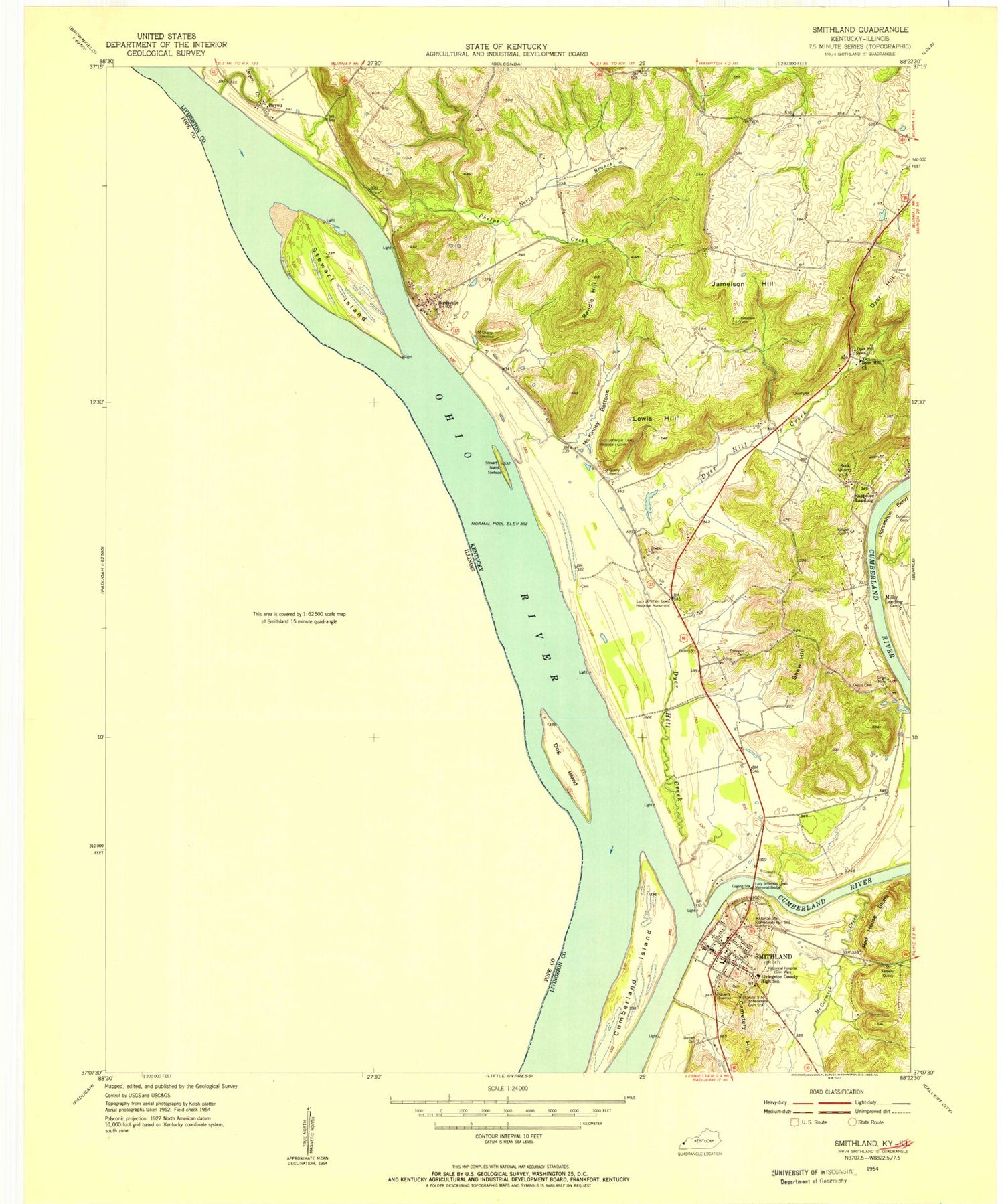
Classic USGS Smithland Kentucky 7.5'x7.5' Topo Map
Couldn't load pickup availability
Historical USGS topographic quad map of Smithland in the states of Kentucky, Illinois. Map scale may vary for some years, but is generally around 1:24,000. Print size is approximately 24" x 27"
This quadrangle is in the following counties: Livingston, Massac, Pope.
The map contains contour lines, roads, rivers, towns, and lakes. Printed on high-quality waterproof paper with UV fade-resistant inks, and shipped rolled.
Contains the following named places: Alcorn Creek, Audubon Cemetery, Audubon Church, Barnett Cemetery, Bay City, Bayou, Bayou Creek, Birdsville, Caley Spring, Cemetery Hill, City of Smithland, Cowper Cemetery, Cumberland Island, Cumberland River, Dog Creek, Dog Island, Dog Island State Wetlands, Dyer Hill, Dyer Hill Church, Dyer Hill Creek, Dyer Hill Mine, Dyer Hill Spring, Edmonds Cemetery, Hamletsburg, Hamletsburg Cemetery, Hampton Cemetery, Hastings Cemetery, Hohman Lake Dam, Jacobs School, Jameison Hill, Jameson Cemetery Number 1, Japanese Hill, Kalberer Quarry, Kickasola Cemetery, Lewis Cemetery, Lewis Hill, Livingston Central High School, Livingston County Sheriff's Office, Lucy Jefferson Lewis Memorial Bridge, McCormick Creek, McKinley School, McKinney Bottoms, Miller Landing, Morrison Landing, Muddy Church, North Branch Phelps Creek, Oakdale School, Old Maid Crossing, Owens Cemetery, Phelps Creek, Randle Hill, Rappolee Cemetery Number 2, Red House Bluffs, Rock Quarry Cemetery, Round Pond, Rural Pope County Fire Protection District Station 3, Shaw Hill, Silver Mine, Sloan Cemetery, Smithland, Smithland Fire Department, Smithland Lock and Dam, Smithland Post Office, Stewart Island, Stewart Island Towhead, Three Rivers Quarry, WDXR-FM (Golconda), Yellowbird School, ZIP Code: 42081
