MyTopo
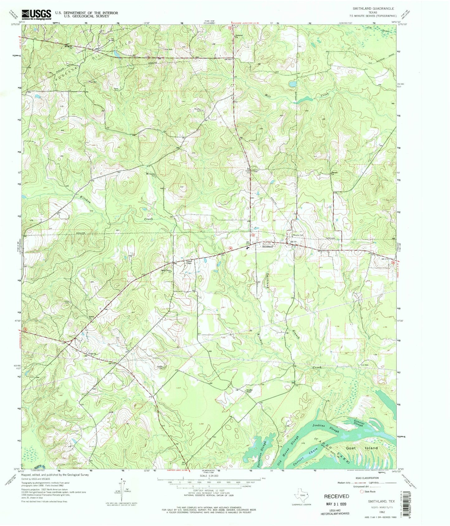
Classic USGS Smithland Texas 7.5'x7.5' Topo Map
Couldn't load pickup availability
Historical USGS topographic quad map of Smithland in the state of Texas. Map scale may vary for some years, but is generally around 1:24,000. Print size is approximately 24" x 27"
This quadrangle is in the following counties: Harrison, Marion.
The map contains contour lines, roads, rivers, towns, and lakes. Printed on high-quality waterproof paper with UV fade-resistant inks, and shipped rolled.
Contains the following named places: Belview Church, Bethel Church, Douglas Cemetery, Douglas Chapel, Goat Island, Gravier Slough, Jefferson Division, Jenkins Slough, Judea Cemetery, Judea Church, Logan Chapel, Moseley Cemetery, Mount Carmel Church, Mount Maria Church, Old House Slough, Patterson Slough, Rand Cemetery, Savannah Church, Shady Grove Church, Smithland, Smithland Branch, Smithland Volunteer Fire Department, Whatley Cemetery