MyTopo
Classic USGS Smithville NW Texas 7.5'x7.5' Topo Map
Couldn't load pickup availability
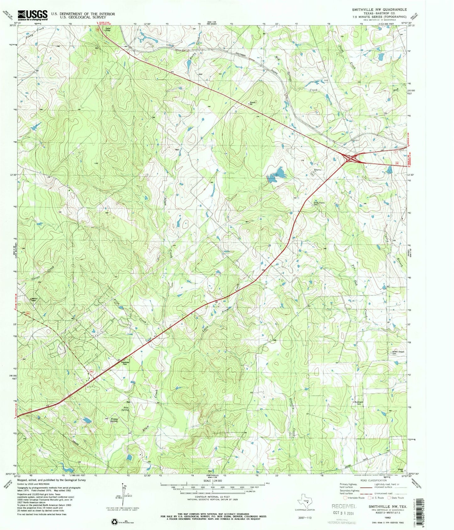
Historical USGS topographic quad map of Smithville NW in the state of Texas. Map scale may vary for some years, but is generally around 1:24,000. Print size is approximately 24" x 27"
This quadrangle is in the following counties: Bastrop.
The map contains contour lines, roads, rivers, towns, and lakes. Printed on high-quality waterproof paper with UV fade-resistant inks, and shipped rolled.
Contains the following named places: Bastrop Division, Brockstein Lake, Brockstein Lake Dam, Circle D Estates, Circle D-KC Estates Census Designated Place, Denton Public Library, Dixon Cemetery, Egger Lake, Egger Lake Dam, Flying Armadillo Field, KC Estates, Price Creek, Ridgeway Church, Ridgeway School, ZIP Code: 78659