MyTopo
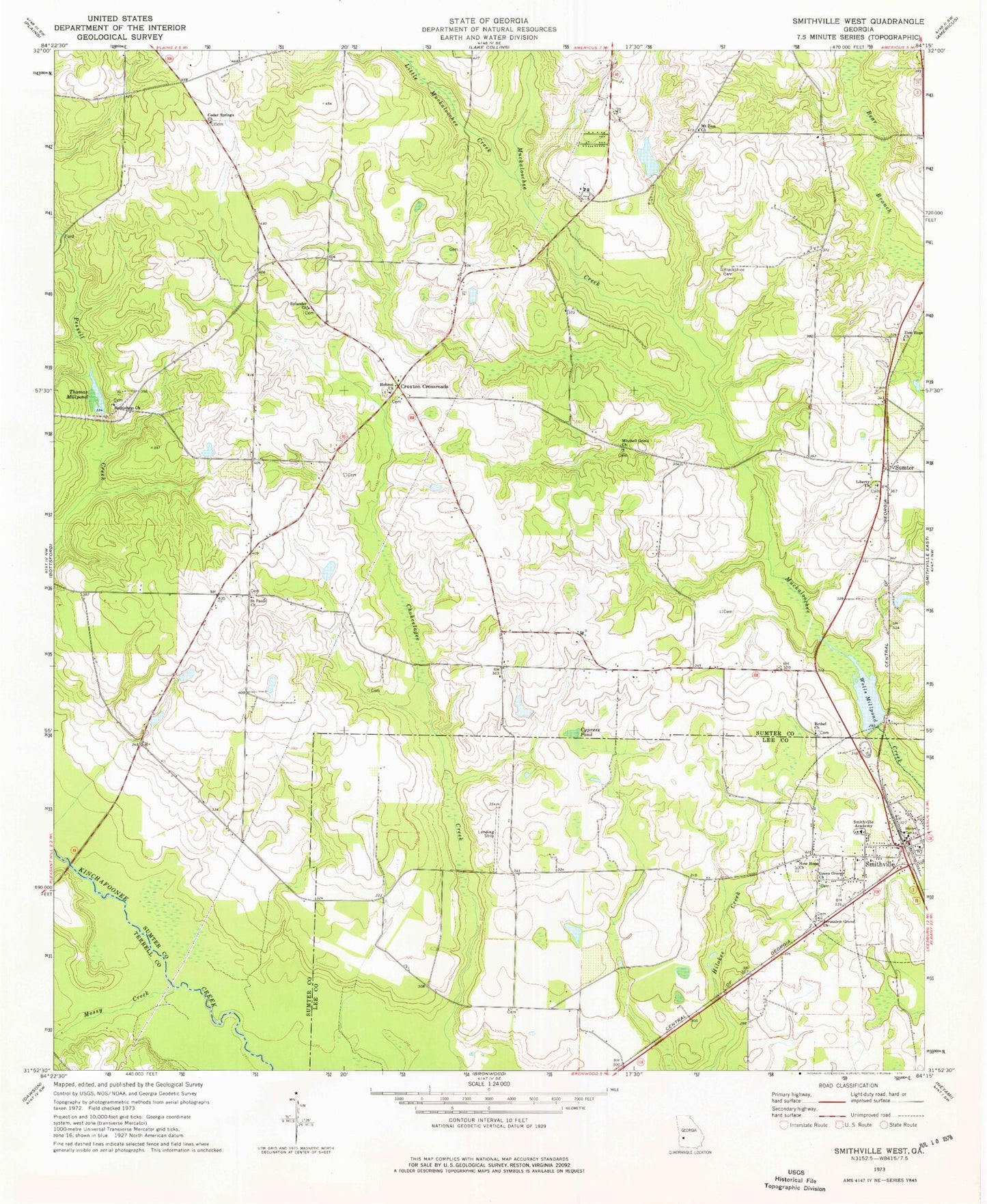
Classic USGS Smithville West Georgia 7.5'x7.5' Topo Map
Couldn't load pickup availability
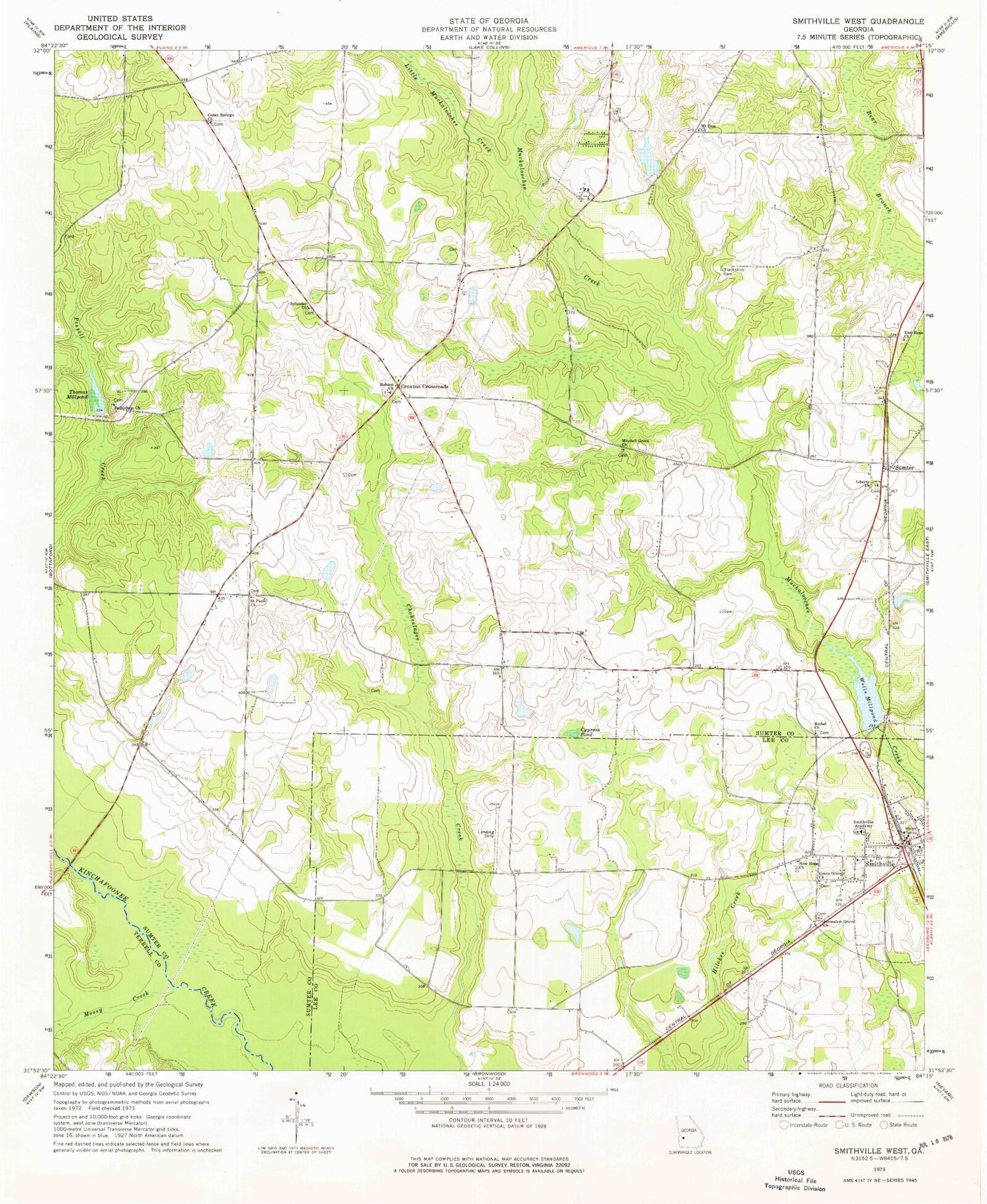
Historical USGS topographic quad map of Smithville West in the state of Georgia. Map scale may vary for some years, but is generally around 1:24,000. Print size is approximately 24" x 27"
This quadrangle is in the following counties: Lee, Sumter, Terrell.
The map contains contour lines, roads, rivers, towns, and lakes. Printed on high-quality waterproof paper with UV fade-resistant inks, and shipped rolled.
Contains the following named places: Andrews Mill, Bethel Church, Bethlehem Church, Blackshire Cemetery, Cedar Springs Church, City of Smithville, Croxton Crossroads, Cypress Pond, Davison Mill, Edwards, Green Grove Church, Hebron Cemetery, Hebron Church, Jerusalem Grove Church, Koinonia Community Lake, Koinonia Community Lake Dam, Liberty Cemetery, Liberty Church, Little Muckaloochee Creek, McCree Lake North, McCree Lake North Dam, McCree Lake South, McCree Lake South Dam, Mitchell Grove Church, Mossy Creek, Mount Zion Church, New Hope Church, Rylander Cemetery, Rylander Church, Saint Pauls Church, Smithville, Smithville Academy, Smithville Airport, Smithville Police Department, Smithville Post Office, Southwest Sumter Volunteer Fire Department, Sumter, Thomas Millpond, Thomas Millpond Dam, Thomson School, Tropic School, Wells Mill, Wells Millpond, Willburn Bridge, Williams Cemetery, Zion Hope Church


