MyTopo
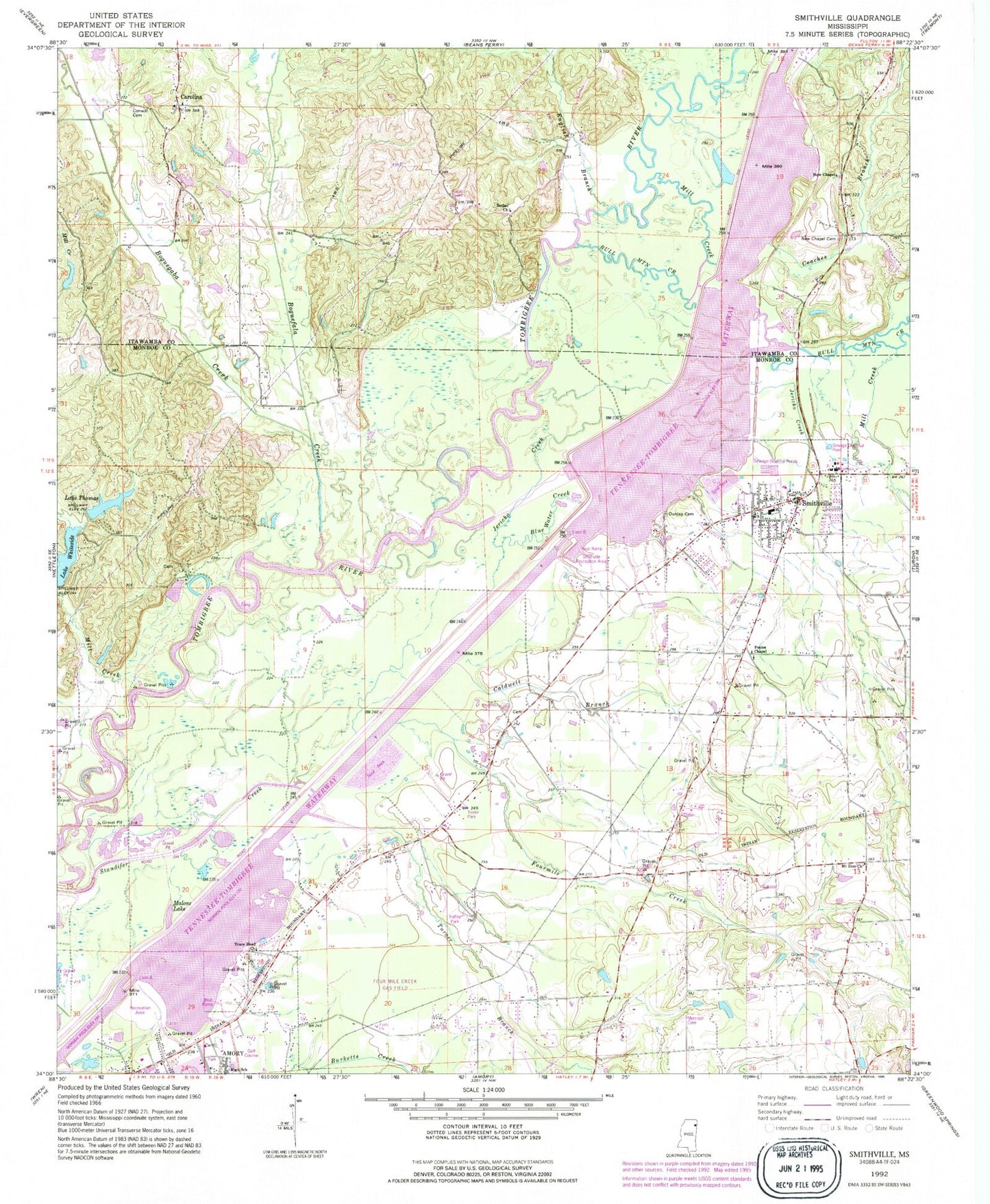
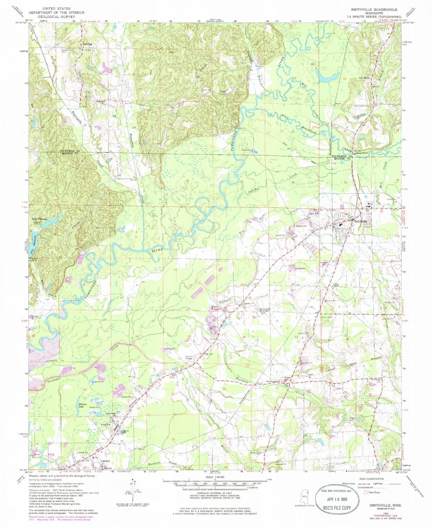
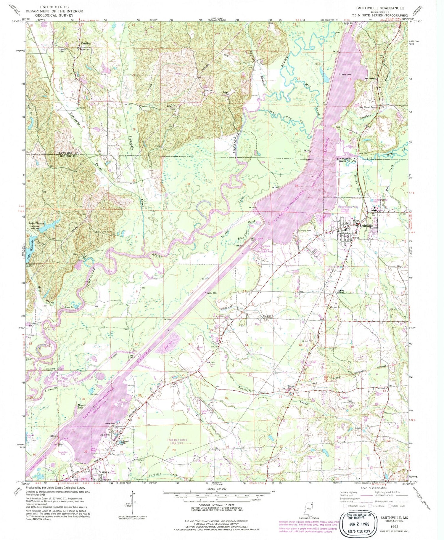
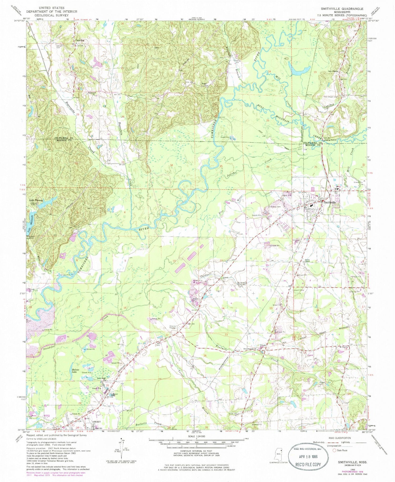
Classic USGS Smithville Mississippi 7.5'x7.5' Topo Map
Couldn't load pickup availability
Historical USGS topographic quad map of Smithville in the state of Mississippi. Map scale may vary for some years, but is generally around 1:24,000. Print size is approximately 24" x 27"
This quadrangle is in the following counties: Itawamba, Monroe.
The map contains contour lines, roads, rivers, towns, and lakes. Printed on high-quality waterproof paper with UV fade-resistant inks, and shipped rolled.
Contains the following named places: Ales, Amory Community Center, Amory Golf Course, Amory High School, Amory Recreation Area, Antioch Church, Bethel Church, Blue Water Creek, Boguefala Creek, Boguegaba Creek, Caldwell Branch, Carolina, Coaches Branch, Conwill Cemetery, Dunlap Cemetery, Emmaus Church, English Branch, Evergreen - Carolina Volunteer Fire Department Station 301, Flinn, Floyton, Fourmile Creek, Hadaway Creek, Jericho Creek, Lake Thomas, Lake Thomas Dam, Lake Whiteside, Malone Lake, Mill Creek, Mount Zion Church, New Chapel, New Chapel Cemetery, New Prospect Church, Poison Pond, Pool B, Pooles Chapel Christian Methodist Church, Section Creek, Smithville, Smithville Baptist Church, Smithville Cemetery, Smithville Church of Christ, Smithville Freewill Baptist Church, Smithville Methodist Church, Smithville Police Department, Smithville Recreation Area, Smithville Volunteer Fire Department, Supervisor District 1, Town of Smithville, Trace Road Independent Baptist Church, Turner Branch


