MyTopo
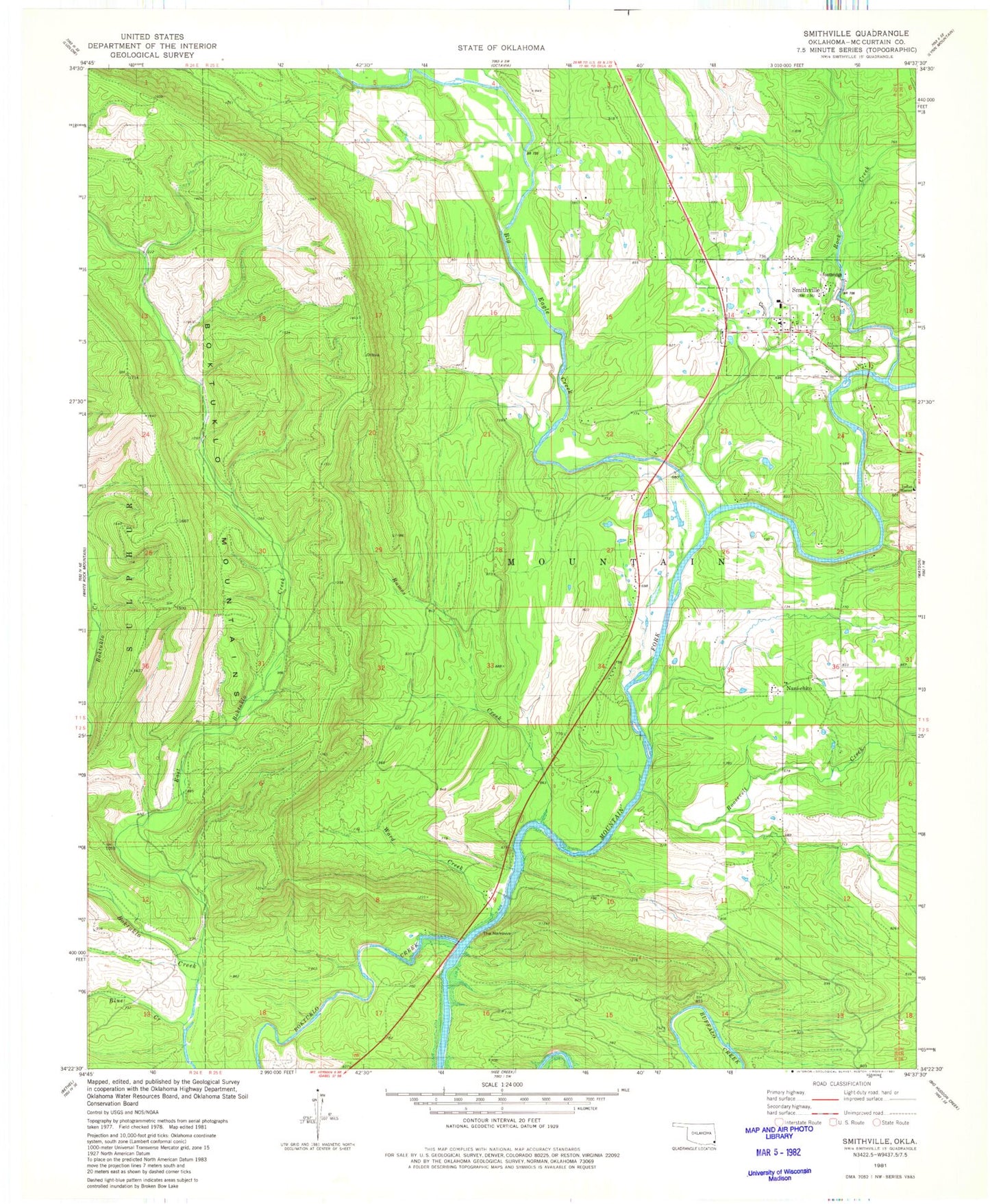
Classic USGS Smithville Oklahoma 7.5'x7.5' Topo Map
Couldn't load pickup availability
Historical USGS topographic quad map of Smithville in the state of Oklahoma. Map scale may vary for some years, but is generally around 1:24,000. Print size is approximately 24" x 27"
This quadrangle is in the following counties: McCurtain.
The map contains contour lines, roads, rivers, towns, and lakes. Printed on high-quality waterproof paper with UV fade-resistant inks, and shipped rolled.
Contains the following named places: Big Eagle Creek, Big Lick Cemetery, Blue Creek, Boktuklo Creek, Cusher Cemetery, East Boktuklo Creek, Hurricane Creek, Indian Mission, Nani-chito, Nani-Chito Cemetery, Octavia - Smithville Rural Fire Association Station 2, Old Smithville Cemetery, Ramos Creek, Rock Creek, Roosevelt Creek, Smithville, Smithville Cemetery, Smithville Elementary School, Smithville High School, Smithville Middle School, Smithville Post Office, The Narrows, Town of Smithville, Ward Creek