MyTopo
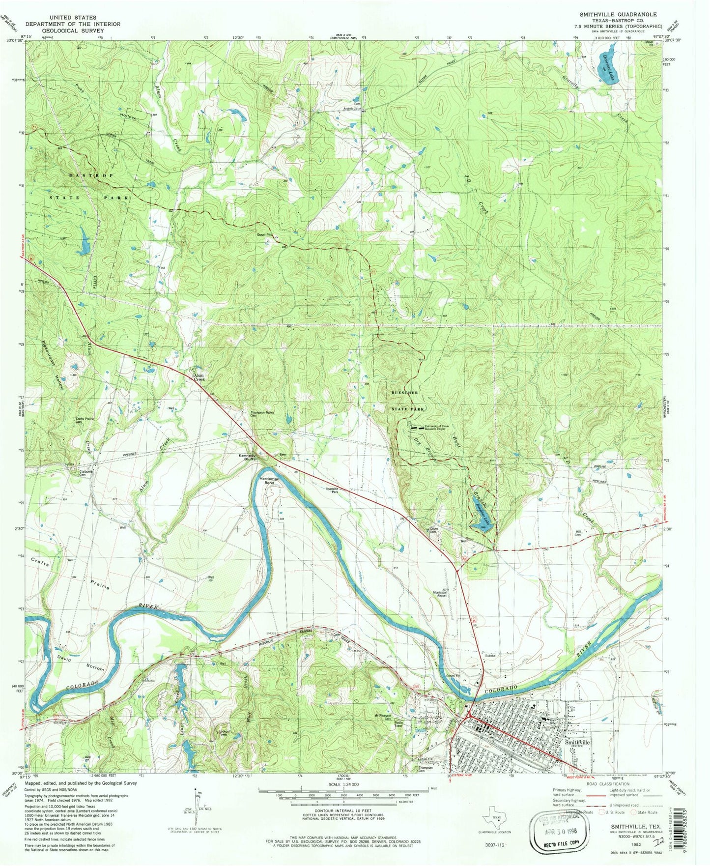
Classic USGS Smithville Texas 7.5'x7.5' Topo Map
Couldn't load pickup availability
Historical USGS topographic quad map of Smithville in the state of Texas. Typical map scale is 1:24,000, but may vary for certain years, if available. Print size: 24" x 27"
This quadrangle is in the following counties: Bastrop.
The map contains contour lines, roads, rivers, towns, and lakes. Printed on high-quality waterproof paper with UV fade-resistant inks, and shipped rolled.
Contains the following named places: Alum Creek, Powell Cemetery, Buescher State Park, East Fork Gravelly Creek, Hardeman Bend, J D Creek, Kennedy Bluffs, Larry Chapel, Pigeonroost Hollow, West Fork Gravelly Creek, Hunt Branch, Gazley Creek, Line Creek, Little Alum Creek, Mill Creek, Reeds Creek, Smithville, Gazley Cemetery, Wolf Creek, Alum Creek, KOKE-FM (Giddings), Smithville Crawford Municipal Airport, Droemer Dam, Droemer Lake, Buescher State Park Lake Dam, Buescher Lake, Harmon Dam, Harmon Lake, A J Rod Dam, A J Rod Lake, Rod Lake Number 1 Dam, Rod Lake Number 2 Dam, Rod Lake Number 2, Brown Primary School, Smithville Elementary School, Bastrop County Historical Museum, Smithville Railroad Historical Park and Museum, Carl and Mary Welhausen Library, Seton Smithville Regional Hospital, Mount Pilgrim Baptist Church, Saint Pauls Catholic Church, Grace Lutheran Church, Harts Chapel United Methodist Church, First Presbyterian Church, Smithville Commercial Historic District, Smithville Residential Historic District, Buescher State Park Hiking Trail, City of Smithville, Dancing Turtles Lake, Smithville Volunteer Fire Department Station 2, Smithville Volunteer Fire Department, MetroCare Services Smithville Station, Smithville Post Office, Smithville Police Department, Bastrop County Constable's Office Precinct 2, Smithville Community Police Facility, Smithville City Hall, Antioch Cemetery, Alum Creek Cemetery, Adams Morris Thompson Cemetery


