MyTopo
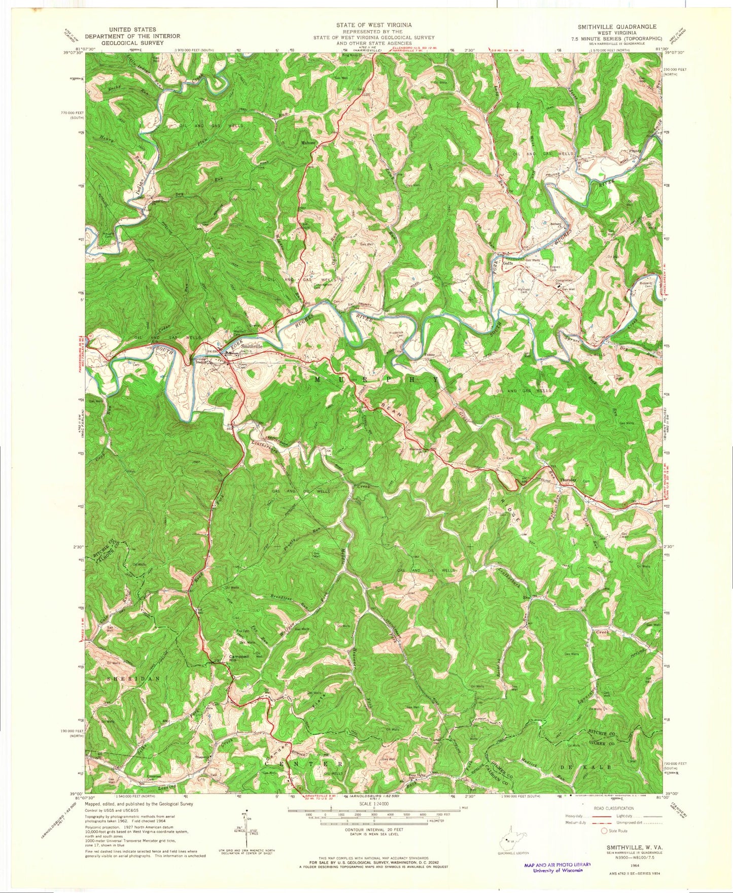
Classic USGS Smithville West Virginia 7.5'x7.5' Topo Map
Couldn't load pickup availability
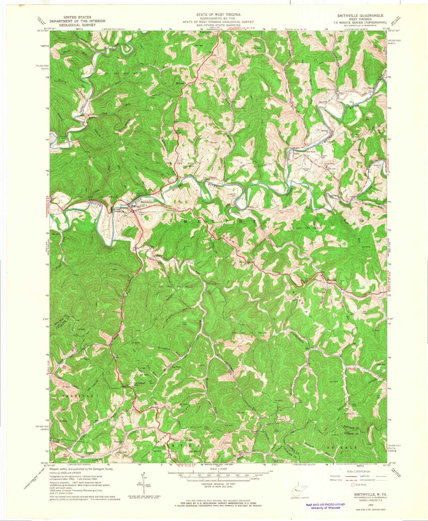
Historical USGS topographic quad map of Smithville in the state of West Virginia. Map scale may vary for some years, but is generally around 1:24,000. Print size is approximately 24" x 27"
This quadrangle is in the following counties: Calhoun, Gilmer, Ritchie.
The map contains contour lines, roads, rivers, towns, and lakes. Printed on high-quality waterproof paper with UV fade-resistant inks, and shipped rolled.
Contains the following named places: Ayers Cemetery, Barcus Ayers Ford, Bean Ridge, Bell School, Bethany Cemetery, Bethany Church, Broadtree Run, Cain Run, Camden Flats, Campbell Hill, Cedar Grove Church, Cedar Grove School, Cedar Run, Cloverleaf Cemetery, Crab Run, Cunningham Cemetery, Deep Valley School, Dry Run, Eva, Fluharty Cemetery, Fonzo, Fonzo Post Office, Fox Cemetery, Fox Run, Frederick Cemetery, Goffs, Goffs Post Office, Grass Run, Grass Run School, Hardman Chapel Cemetery, Hardman Church, Hatfield Cemetery, Haught Cemetery, Hazelgreen Cemetery, Heavener Fork, Henry Run, Iris, Jesse Cain Run, Lamb Run, Leatherbark Creek, Leatherbark School, Lick Run, Little Indian Run, Long Run, Lynncamp Run, Maberry Run, Mahone, Mahone Post Office, Middle Fork Leatherbark Creek, Murphy District, Oak Grove School, Owl Run, Plum Run, Prosperity Church, Prosperity School, Prunty, Prunty Run, Reeves Cemetery, Ritchie County Ambulance Authority Station 43, Road Fork, Rock Run, Rocklick Run, Rocky Run, Saunders Cemetery, Seths Fork, Smith Run, Smithville, Smithville Baptist Church, Smithville Elementary School, Smithville Post Office, Smithville Volunteer Fire Department, Spruce Creek, Thursday, Wass Run, Wass School, Westfall Cemetery, Wigner Run, Wolf Run, ZIP Code: 26178


