MyTopo
Classic USGS Smoke Creek Ranch Nevada 7.5'x7.5' Topo Map
Regular price
$16.95
Regular price
Sale price
$16.95
Unit price
per
Couldn't load pickup availability
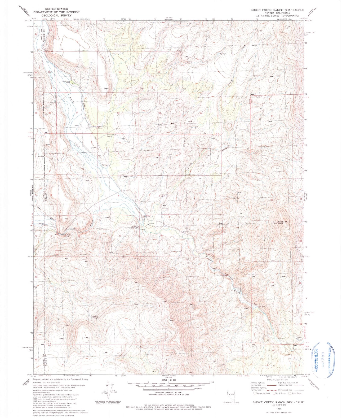
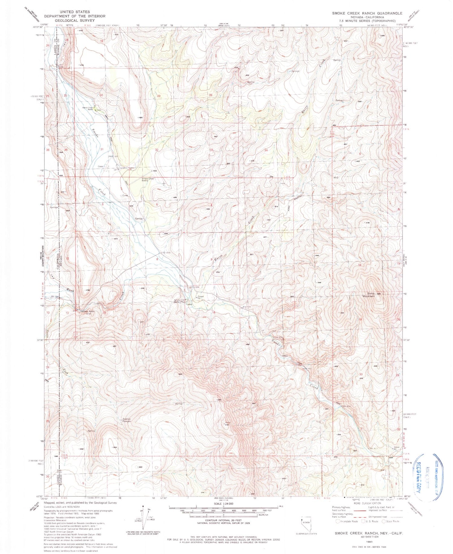
Historical USGS topographic quad map of Smoke Creek Ranch in the states of Nevada, California. Map scale may vary for some years, but is generally around 1:24,000. Print size is approximately 24" x 27"
This quadrangle is in the following counties: Lassen, Washoe.
The map contains contour lines, roads, rivers, towns, and lakes. Printed on high-quality waterproof paper with UV fade-resistant inks, and shipped rolled.
Contains the following named places: Burro Creek, Burro Mountain, Burro Mountain Pass, Camp Pollock, Jenkins Troughs, Robbers Roost, Roop, Roop Post Office, Rush Creek, Smoke Creek Airstrip, Smoke Creek Camp, Smoke Creek Ranch, Smoke Creek Station, South Fork Rush Creek