MyTopo
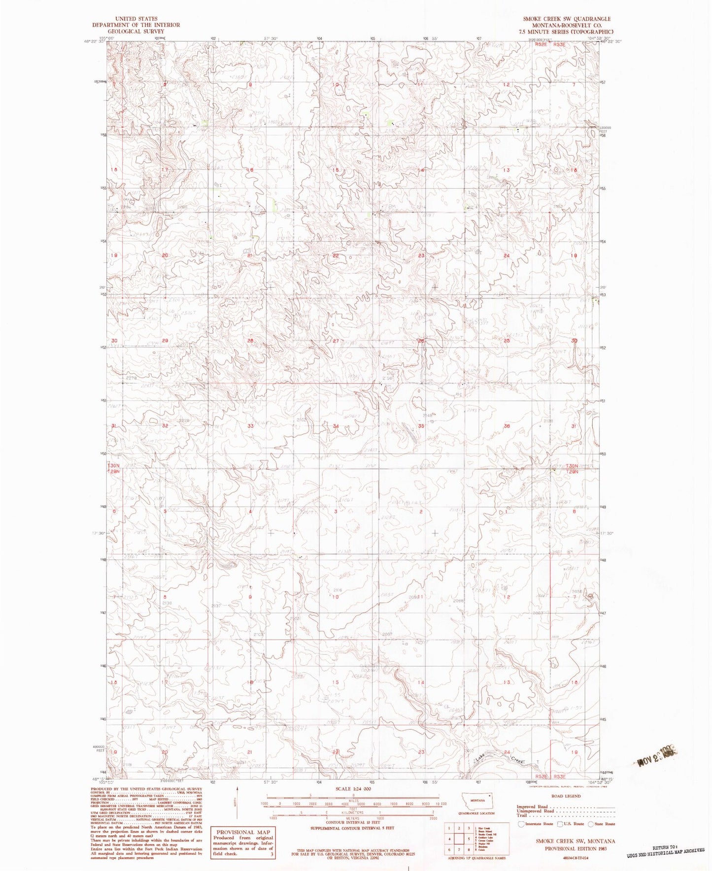
Classic USGS Smoke Creek SW Montana 7.5'x7.5' Topo Map
Regular price
$16.95
Regular price
Sale price
$16.95
Unit price
per
Couldn't load pickup availability
Historical USGS topographic quad map of Smoke Creek SW in the state of Montana. Map scale may vary for some years, but is generally around 1:24,000. Print size is approximately 24" x 27"
This quadrangle is in the following counties: Roosevelt.
The map contains contour lines, roads, rivers, towns, and lakes. Printed on high-quality waterproof paper with UV fade-resistant inks, and shipped rolled.
Contains the following named places: 30N52E13ABAB01 Well, 30N52E24CCCC01 Well, 30N52E35AAAA01 Well, Anderson, Anderson School, Faith Free Lutheran Church, Nelson School, Zion Lutheran Church, Zion Lutheran Church Cemetery