MyTopo
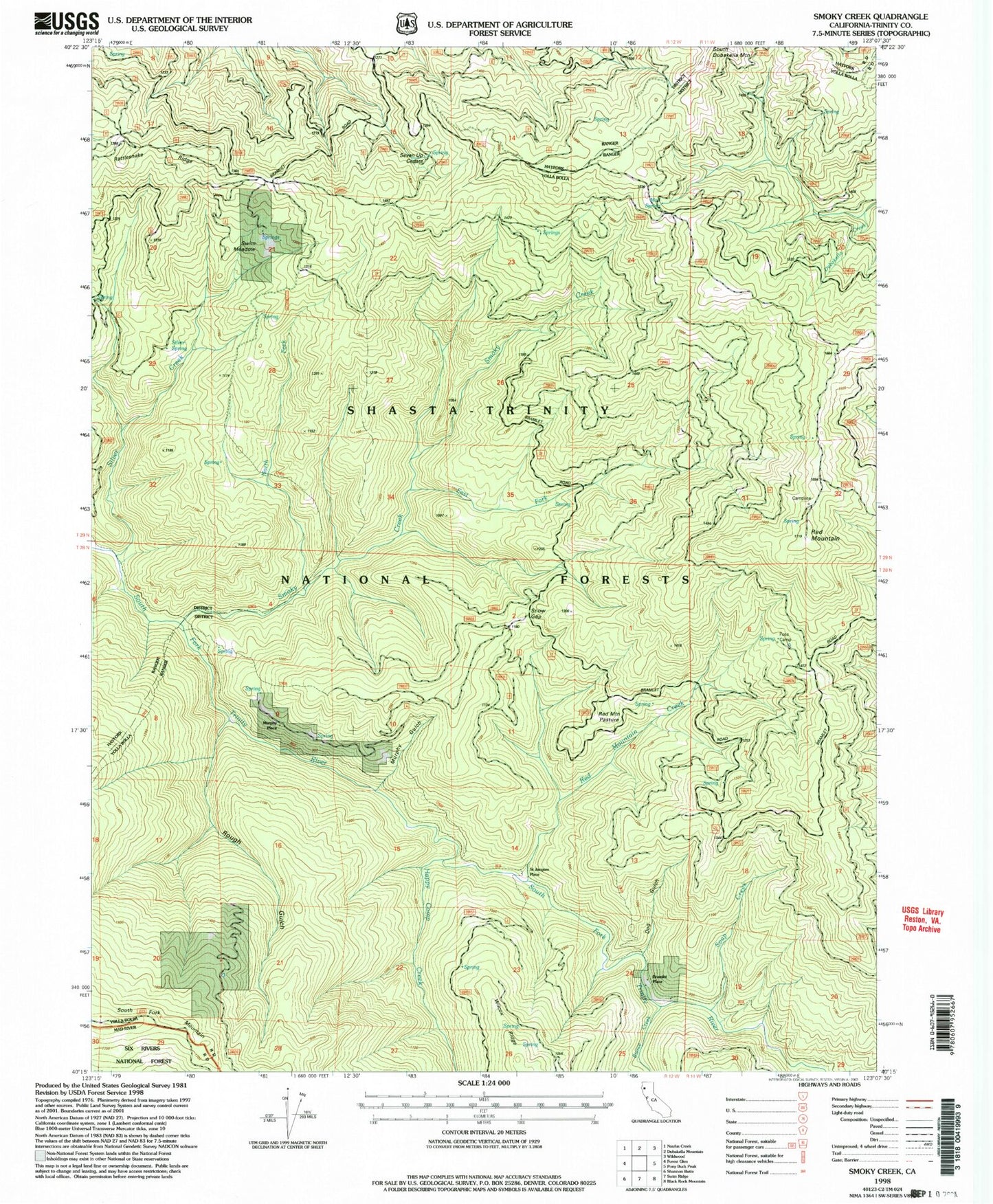
Classic USGS Smoky Creek California 7.5'x7.5' Topo Map
Couldn't load pickup availability
Historical USGS topographic quad map of Smoky Creek in the state of California. Map scale may vary for some years, but is generally around 1:24,000. Print size is approximately 24" x 27"
This quadrangle is in the following counties: Trinity.
The map contains contour lines, roads, rivers, towns, and lakes. Printed on high-quality waterproof paper with UV fade-resistant inks, and shipped rolled.
Contains the following named places: Bierce Creek, Bramlet Place, Dog Gulch, East Fork Smoky Creek, Foss Camp, Happy Camp Creek, Little Silver Creek, Mud Spring, Murphy Gulch, Murphy Place, North Fork Smoky Creek, Rattlesnake Ridge, Red Mountain, Red Mountain Creek, Red Mountain Pasture, Rough Gulch, Saint Jacques Place, Seven Up Cedars, Seven Up Cedars Spring, Silver Creek, Silver Spring, Smoky Creek, Snow Gap, Soap Creek, Swim Meadow