MyTopo
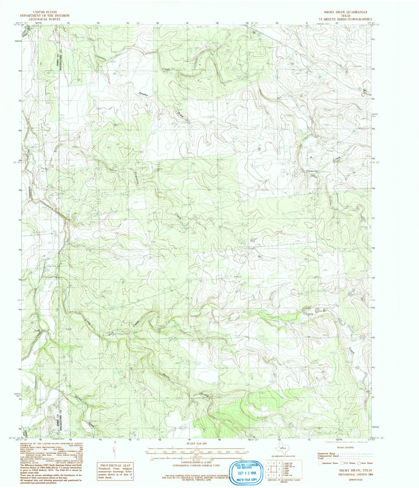
Classic USGS Smoky Draw Texas 7.5'x7.5' Topo Map
Regular price
$16.95
Regular price
Sale price
$16.95
Unit price
per
Couldn't load pickup availability
Historical USGS topographic quad map of Smoky Draw in the state of Texas. Map scale may vary for some years, but is generally around 1:24,000. Print size is approximately 24" x 27"
This quadrangle is in the following counties: Jones, Shackelford.
The map contains contour lines, roads, rivers, towns, and lakes. Printed on high-quality waterproof paper with UV fade-resistant inks, and shipped rolled.
Contains the following named places: Ackers Ranch, Buck Nail Ranch, Bud Matthews, Chimney Creek Ranch, Long Creek, Matilda Perkins Oil Field, Rising Sun Cemetery, Smoky Draw, South Prong Long Creek, Spring Creek, Threemile Creek