MyTopo
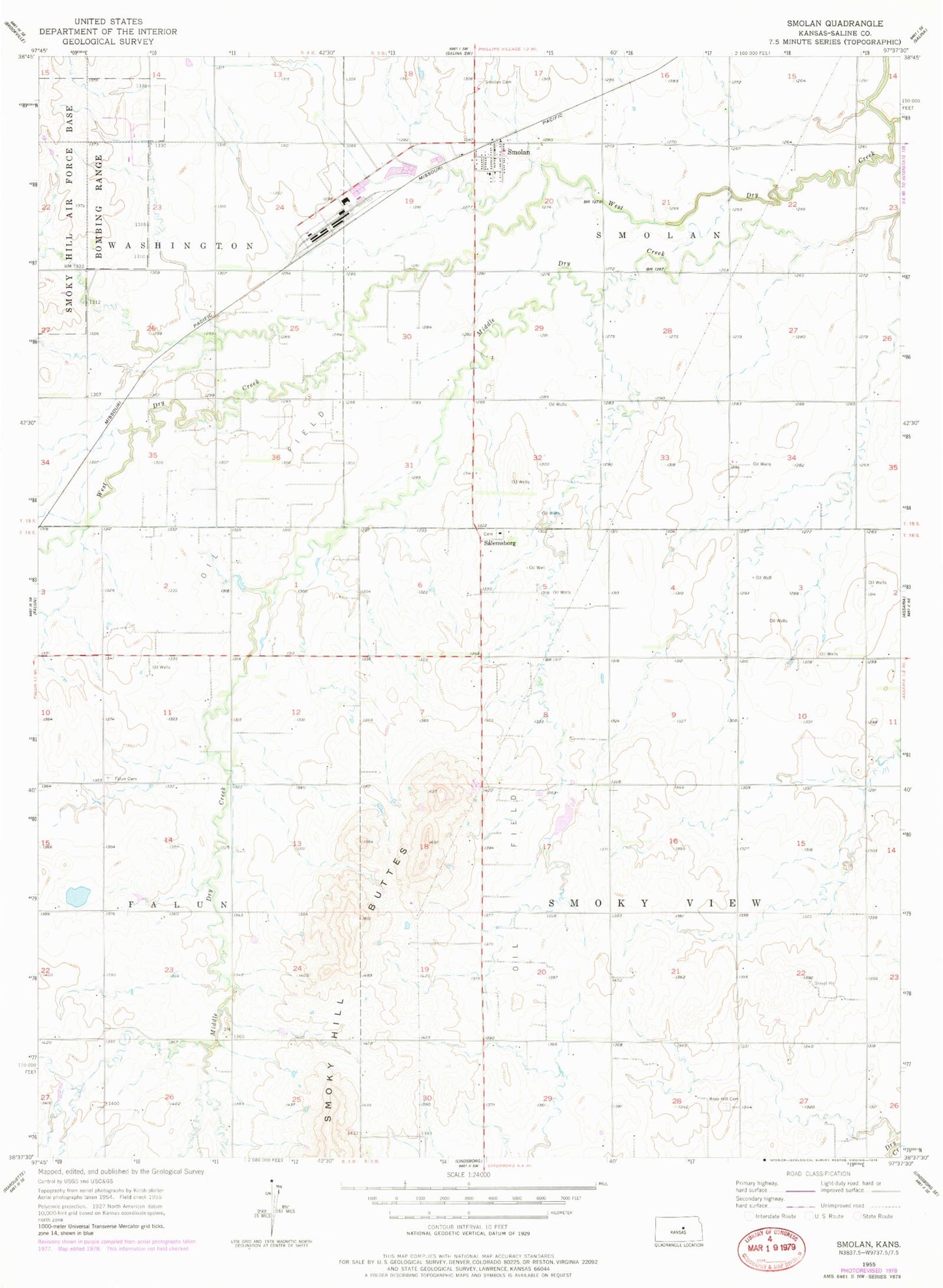
Classic USGS Smolan Kansas 7.5'x7.5' Topo Map
Couldn't load pickup availability
Historical USGS topographic quad map of Smolan in the state of Kansas. Map scale may vary for some years, but is generally around 1:24,000. Print size is approximately 24" x 27"
This quadrangle is in the following counties: Saline.
The map contains contour lines, roads, rivers, towns, and lakes. Printed on high-quality waterproof paper with UV fade-resistant inks, and shipped rolled.
Contains the following named places: City of Smolan, Falun Cemetery, KVOB - FM (Salina), Middle Dry Creek, Rose Hill Cemetery, Salemsborg, Salemsborg Lutheran Cemetery, Salemsborg Lutheran Church, Saline County Fire District 6 - Smolan Station, Smoky Hill Buttes, Smolan, Smolan Cemetery, Smolan Wastewater Plant, Township of Smoky View, Township of Smolan, Turkey Creek School