MyTopo
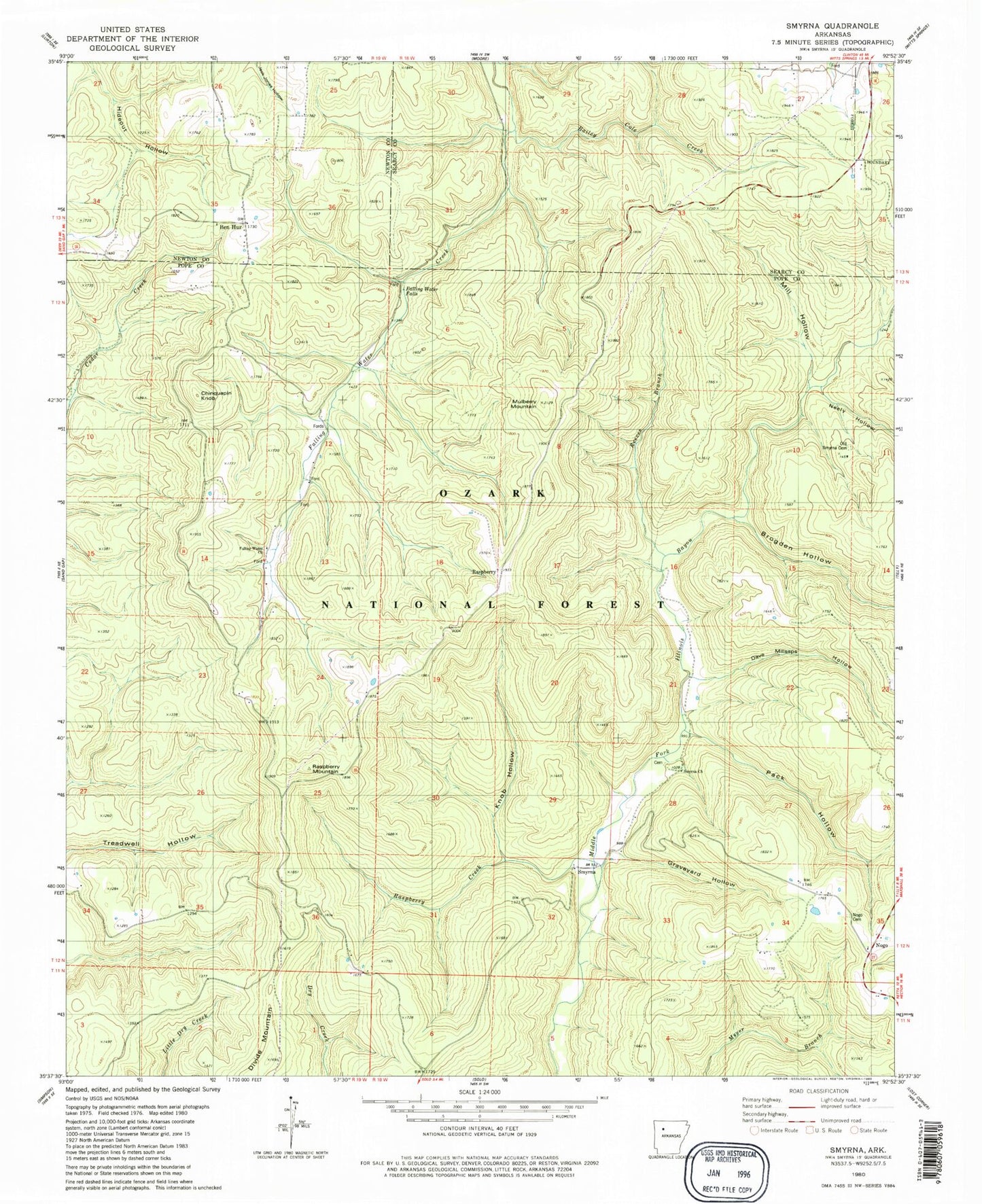
Classic USGS Smyrna Arkansas 7.5'x7.5' Topo Map
Couldn't load pickup availability
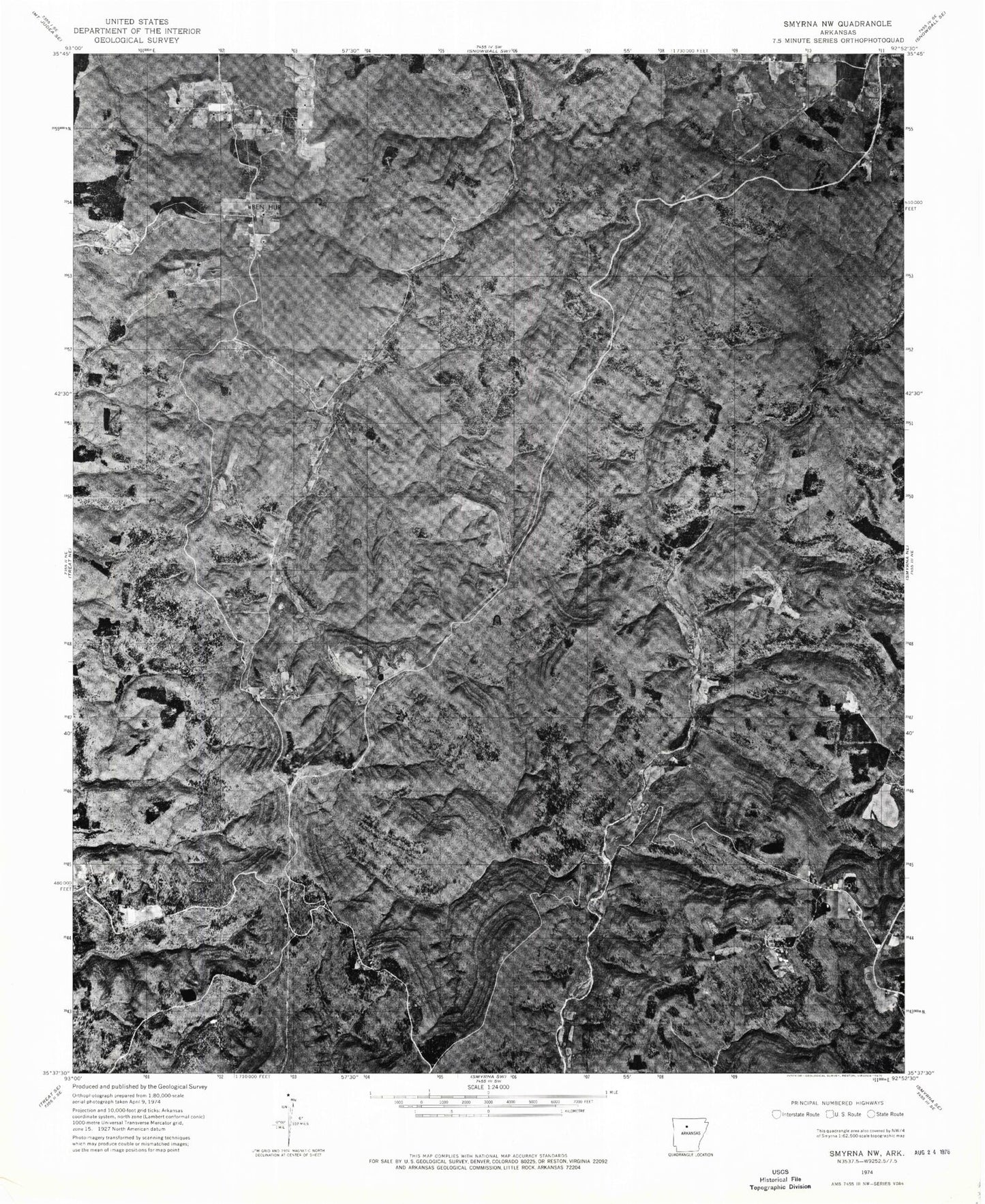
Historical USGS topographic quad map of Smyrna in the state of Arkansas. Map scale may vary for some years, but is generally around 1:24,000. Print size is approximately 24" x 27"
This quadrangle is in the following counties: Newton, Pope, Searcy.
The map contains contour lines, roads, rivers, towns, and lakes. Printed on high-quality waterproof paper with UV fade-resistant inks, and shipped rolled.
Contains the following named places: Bailey Cole Creek, Ben Hur, Brogden Hollow, Chinquapin Knob, Dave Millsaps Hollow, Falling Water Church, Falling Water Falls, Falling Water School, Graveyard Hollow, Knob Hollow, Mill Hollow, Mulberry Mountain, Neely Hollow, Nogo, Nogo Cemetery, Nogo Church, Old Smyrna Cemetery, Pack Hollow, Raspberry, Raspberry Creek, Raspberry Mountain, Reeves Branch, Smyrna, Smyrna Cemetery, Smyrna Church, Smyrna School, Township of Smyrna, Township of Sulphur, Winrock Farms Lake, Winrock Farms Lake Dam


