MyTopo
Classic USGS Smyrna Michigan 7.5'x7.5' Topo Map
Couldn't load pickup availability
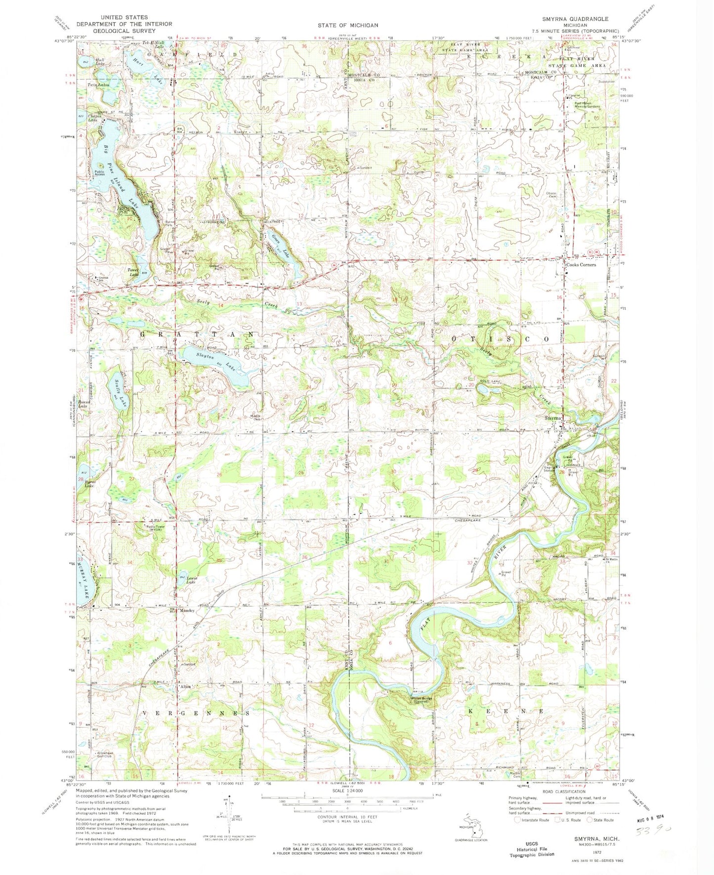
Historical USGS topographic quad map of Smyrna in the state of Michigan. Map scale may vary for some years, but is generally around 1:24,000. Print size is approximately 24" x 27"
This quadrangle is in the following counties: Ionia, Kent, Montcalm.
The map contains contour lines, roads, rivers, towns, and lakes. Printed on high-quality waterproof paper with UV fade-resistant inks, and shipped rolled.
Contains the following named places: Alton, Alton Bible Church, Alton Cemetery, Alton Pioneer Village Historical Marker, Alton Station, Arrowhead Golf Club, Ashley Baptist Church, Ashley Cemetery, Ashley Church, Ashley Post Office, Big Pine Island Lake, Boulder Canyon Airport, Byrne Lake, Byrne Park, Candlestone Golf Course, Christian Church, Cooks Corners, Faith Community Christian School, Grattan School, Grattan Township Fire Department, Green Lake, Hart Lake, Hull Lake, Lakewood School, Lewis Lake, Marble Cemetery, Mason Cemetery, Moseley, Moseley School Historical Marker, Murray Lake Elementary School, New Hope Church of God, Otisco Cemetery, Otisco Post Office, Rest Haven Memory Gardens, Ridgeview Golf Club, Saint Mary's Catholic Cemetery, Saint Marys Church, Scally Lake, Seely Creek, Slayton Lake, Smyrna, Smyrna Bible Church, Smyrna Cemetery, Smyrna Historical Marker, Smyrna Post Office, Smyrna Station, Tower Lake, Township of Grattan, Township of Otisco, Twin Lakes, Vergennes District Number One Schoolhouse Historical Marker, Vergennes Post Office, WCUZ-FM (Grand Rapids), Wellington Estates Mobile Home Park, Whites Bridge, White's Bridge Historical Marker, WODJ-FM (Greenville), Woodview Elementary School, ZIP Code: 48809


